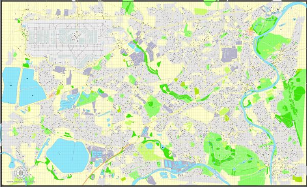
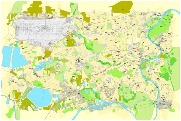
Heathrow, Feltham, and Hounslow are all located in the Greater London area in the United Kingdom and are well-connected by various modes of transportation. Here’s an overview of the transportation options in this region:
- Heathrow Airport (LHR):
- Heathrow Express: This is a dedicated rail service that connects Heathrow Airport to London Paddington Station. It offers a fast and convenient way to reach central London.
- London Underground (Piccadilly Line): The Piccadilly Line of the London Underground provides a cost-effective way to reach Heathrow Airport from central London and other areas.
- Buses and Coaches: There are numerous bus and coach services connecting Heathrow to various parts of London and other cities in the UK.
- Taxis and Minicabs: Taxis and minicabs are readily available at the airport for travelers who prefer door-to-door service.
- Feltham: Feltham is a town located near Heathrow Airport and is well-connected to the surrounding areas by various transportation options.
- Rail Services: Feltham has its own railway station, Feltham Railway Station, which is well-connected to central London, including services to London Waterloo.
- Buses: There are several local bus services that connect Feltham to nearby towns and areas.
- Hounslow: Hounslow is a borough in West London and offers several transportation options for residents and visitors.
- London Underground (Piccadilly Line): The Piccadilly Line provides service to various stations in the London Borough of Hounslow, including Hounslow Central and Hounslow East.
- Buses: Hounslow is served by numerous bus routes that connect it to neighboring areas and other parts of London.
- National Rail: Hounslow has its own railway station, Hounslow Railway Station, which connects the area to London Waterloo and other destinations.
- Taxis and Minicabs: Taxis and minicabs are readily available in Hounslow for local transportation.
Overall, these areas benefit from their proximity to Heathrow Airport, making it relatively easy to access them through a combination of rail, bus, and underground services. Additionally, Hounslow and Feltham have good local transportation networks for getting around within the borough and connecting to the broader London area.


 Author: Kirill Shrayber, Ph.D. FRGS