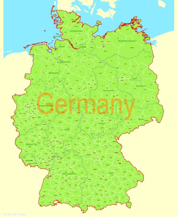
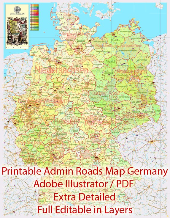
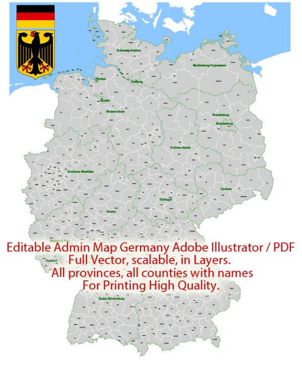
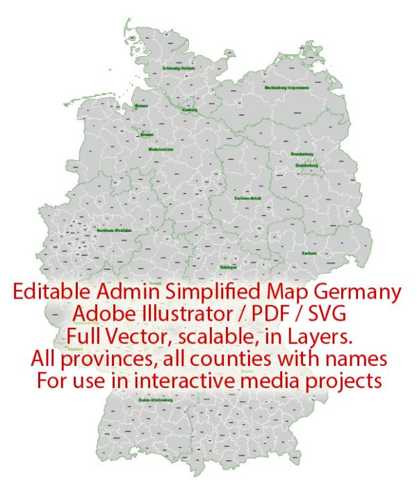
Germany is a country located in Central Europe. It is known for its rich history, strong economy, and diverse landscapes. Here is a geographical description of Germany:
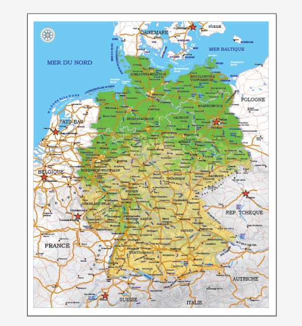
- Location: Germany is situated in the heart of Europe and shares its borders with nine other countries, making it a central hub for transportation and commerce. It is bordered by Denmark to the north, Poland and the Czech Republic to the east, Austria and Switzerland to the south, and France, Luxembourg, Belgium, and the Netherlands to the west.
- Size: Germany is the largest country in Central Europe and covers an area of approximately 357,022 square kilometers (137,847 square miles).
- Terrain: The landscape of Germany is quite diverse, ranging from coastal regions along the North and Baltic Seas to the Bavarian Alps in the south. In between, you’ll find rolling hills, low-lying plains, and numerous rivers. The most notable river is the Rhine, which flows through the western part of the country.
- Mountains: The southern part of Germany is characterized by the Bavarian Alps, which are part of the larger European Alps. The highest peak in Germany is the Zugspitze, standing at 2,962 meters (9,718 feet) above sea level. These mountains provide excellent opportunities for outdoor activities such as hiking and skiing.
- Rivers: Germany has a network of major rivers, including the Rhine, Danube, Elbe, Weser, and Oder. These rivers are essential for transportation and have historically played a significant role in trade and commerce.
- Climate: Germany experiences a temperate seasonal climate with moderate to heavy rainfall throughout the year. The climate varies from region to region, with the northern parts being influenced by the North Sea and the Baltic Sea, resulting in milder temperatures. In contrast, the southern parts have a more continental climate with colder winters and warmer summers.
- Natural Resources: Germany is rich in natural resources, including coal, lignite, natural gas, and forests. It is also one of the world’s largest producers of wind energy and has made significant investments in renewable energy sources.
- Major Cities: Germany’s capital is Berlin, and other major cities include Hamburg, Munich, Frankfurt, Cologne, and Stuttgart. Each city has its own unique character and cultural attractions.
- National Parks: Germany has several national parks and protected areas that showcase its natural beauty. Some of the notable ones include the Black Forest, the Bavarian Forest, and the Saxon Switzerland National Park.
- Coastlines: Germany has a relatively short coastline along the North Sea and the Baltic Sea. The coastal areas are known for their picturesque beaches and seaside resorts.
- Bordering Countries: As mentioned earlier, Germany shares its borders with Denmark, Poland, the Czech Republic, Austria, Switzerland, France, Luxembourg, Belgium, and the Netherlands. These borders have played a significant role in the country’s history and culture.
Germany’s geographical diversity, combined with its rich cultural heritage and strong economy, makes it a fascinating and influential country in Europe and the world.

 Author: Kirill Shrayber, Ph.D. FRGS