France has an extensive and well-developed transportation system that includes various modes of transportation, such as road networks, railways, public transportation, air travel, and waterways. Here’s an overview of the transportation system in France:
- Road Transportation:
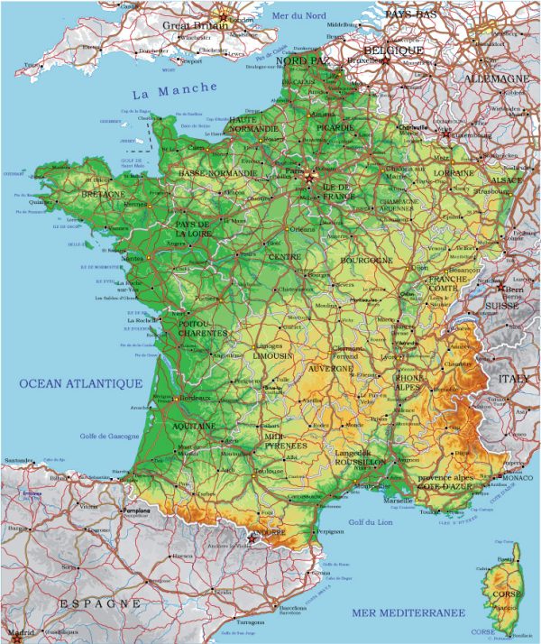
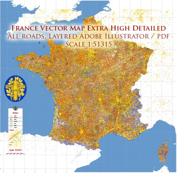
- Highways: France has an extensive network of highways (autoroutes) that connect major cities and regions. The autoroute system is known for its quality and efficiency.
- National Roads: The country also has a network of national roads that connect smaller towns and villages.
- Urban Roads: Cities have well-developed road systems with well-maintained streets and avenues.
- Rail Transportation:
- SNCF (Société Nationale des Chemins de fer Français) is the national railway company in France. It operates a vast network of high-speed TGV trains, regional trains, and suburban commuter trains.
- High-Speed Rail (TGV): France is known for its high-speed trains, such as the TGV, which can reach speeds of up to 200-320 km/h (124-199 mph).
- Regional Rail: Regional trains provide convenient and efficient transportation within various regions of France.
- Public Transportation:
- Metro Systems: Major cities like Paris, Lyon, and Marseille have efficient metro systems.
- Trams: Many cities have tram systems that complement the public transportation network.
- Buses: Buses are a common mode of transportation, serving both cities and rural areas.
- Air Transportation:
- France has a well-developed aviation infrastructure with numerous international and domestic airports.
- Charles de Gaulle Airport in Paris is one of Europe’s largest and busiest airports.
- Orly Airport (also in Paris) is another significant international gateway.
- Other major airports include Nice Côte d’Azur Airport, Lyon-Saint Exupéry Airport, and Marseille Provence Airport.
- Water Transportation:
- France has an extensive network of navigable rivers and canals, and water transportation is commonly used for cargo.
- Major river ports, such as those in Paris, Bordeaux, and Strasbourg, are important hubs for trade and transportation.
- Cycling:
- France is known for its cycling culture, and many cities have dedicated cycling lanes and bike-sharing programs.
- The Tour de France is one of the most famous cycling events in the world.
- Taxis and Ride-Sharing Services:
- Taxis are readily available in cities, and ride-sharing services like Uber are also popular.
- Car Rentals:
- Car rental agencies are widespread, providing flexibility for tourists and travelers to explore the country.
- Traffic Regulations:
- France has specific traffic rules and regulations, including right-hand driving and speed limits. Seat belts are mandatory, and mobile phone use while driving is prohibited.
- Infrastructure and Maintenance:
- France invests heavily in maintaining and improving its transportation infrastructure, ensuring a high level of service and safety.
It’s important to note that France is part of the Schengen Area, which allows for passport-free travel within many European countries, making it easier to cross borders within the European Union without border checks. Additionally, France’s public transportation system is well-connected, making it relatively easy to travel around the country by train, bus, or metro.


 Author: Kirill Shrayber, Ph.D. FRGS