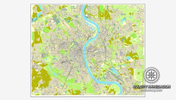
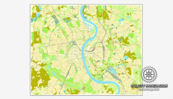
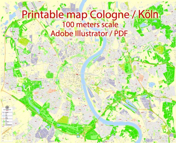
Cologne, known as Köln in German, is one of Germany’s oldest and most historically significant cities. Its history spans over two millennia, and it has been a center of culture, commerce, and political power throughout the ages. Here is a brief overview of Cologne’s history:
- Roman Period: Cologne was founded by the Romans in the 1st century AD under the name “Colonia Claudia Ara Agrippinensium.” It served as the capital of the Roman province of Germania Inferior and was a significant military and economic hub.
- Medieval Era: After the fall of the Roman Empire, Cologne became part of the Frankish kingdom and later the Holy Roman Empire. The city’s cathedral, Cologne Cathedral (Kölner Dom), began construction in the 13th century and was a symbol of the city’s religious and architectural importance.
- Hanseatic League: In the late Middle Ages, Cologne was a prominent member of the Hanseatic League, a confederation of merchant guilds and market towns that dominated trade in Northern Europe.
- Princely State: Cologne was ruled by archbishops who held both religious and secular power. The archbishops’ influence in the city contributed to its unique blend of ecclesiastical and secular culture.
- Reformation and Conflicts: The Protestant Reformation had a significant impact on the city, leading to religious conflicts between Catholics and Protestants. Cologne became a battleground during the Thirty Years’ War in the 17th century.
- French and Prussian Rule: Cologne fell under French control during the Napoleonic era and later became part of Prussia in the 19th century. This period saw industrialization and the expansion of the city’s infrastructure.
- World Wars: During World War I and World War II, Cologne was heavily bombed and suffered significant damage. The city’s historical center was particularly affected, but efforts to rebuild and restore its architectural heritage have been ongoing.
- Post-War Reconstruction: After World War II, Cologne underwent extensive reconstruction, and today, much of its historic architecture has been restored. The Cologne Cathedral stands as a UNESCO World Heritage Site and a symbol of the city’s resilience.
- Modern Era: In the post-war period, Cologne became a major cultural and economic center in Germany. It is known for its vibrant arts scene, media industry, and international trade fairs.
- Contemporary Cologne: Today, Cologne is a thriving metropolis, known for its rich cultural heritage, vibrant Carnival celebrations, diverse population, and numerous museums, including the Museum Ludwig, which houses one of the most significant collections of modern art in Europe. The city is also a major transportation hub, with an international airport and an extensive network of road and rail connections.
Cologne’s history is a testament to its enduring significance in German and European history, marked by its blend of ancient traditions, historical landmarks, and modern innovation.


 Author: Kirill Shrayber, Ph.D. FRGS