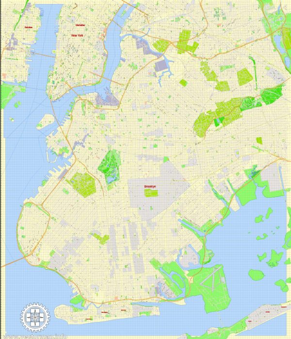
Brooklyn, a borough of New York City, has a rich and diverse history that spans centuries. It was originally inhabited by the Lenape Native Americans before Dutch explorers and settlers arrived in the early 17th century. Here is a brief description of Brooklyn’s history:
- Early Settlement: Dutch explorers, including Henry Hudson, arrived in the early 1600s and established the settlement of Breuckelen (later anglicized to Brooklyn) in 1636. The Dutch West India Company controlled the area and built the original Brooklyn Bridge (not to be confused with the modern-day Brooklyn Bridge) as a means of connecting Brooklyn to Manhattan.
- English Rule: In 1664, the English captured New Netherland, including Brooklyn, from the Dutch. Brooklyn remained under English control until the American Revolutionary War.
- Battle of Brooklyn: During the American Revolution, the Battle of Brooklyn (also known as the Battle of Long Island) took place in 1776. It was the largest battle of the war and ended in an American defeat. George Washington and his troops narrowly escaped capture, preserving the Continental Army’s existence.
- 19th Century Growth: In the 19th century, Brooklyn experienced rapid growth and urbanization. The construction of the Erie Canal and several bridges connecting Brooklyn to Manhattan facilitated this growth. In 1834, Brooklyn was officially incorporated as a city.
- Consolidation with New York City: In 1898, Brooklyn, along with several other neighboring municipalities, was consolidated into New York City, forming the five boroughs. This consolidation was driven by the desire to access the resources and services of a larger city, including the new subway system.
- Immigration and Diversity: Brooklyn has long been a hub for immigrants. Waves of people from various countries, including Ireland, Italy, Russia, and the Caribbean, settled in the borough, contributing to its diverse culture and neighborhoods.
- Industrial and Cultural Hub: In the 19th and early 20th centuries, Brooklyn became a center for industry and manufacturing. It was also known for its cultural contributions, including the Brooklyn Academy of Music and the Brooklyn Botanic Garden.
- Decline and Revival: In the mid-20th century, Brooklyn, like many urban areas, faced economic challenges and a decline in some neighborhoods. However, it has experienced a significant revitalization since the late 20th century, with the renovation of historic brownstone neighborhoods, the development of new cultural institutions, and a resurgence in economic activity.
- Modern Brooklyn: Today, Brooklyn is known for its vibrant and diverse neighborhoods, cultural institutions, arts scenes, and thriving communities. It has become a symbol of urban renewal and is home to iconic landmarks such as the Brooklyn Bridge, Coney Island, and the Brooklyn Botanic Garden.
Brooklyn’s history is a testament to the growth, diversity, and resilience of this borough, which has played a significant role in the history and culture of New York City and the United States.


 Author: Kirill Shrayber, Ph.D. FRGS