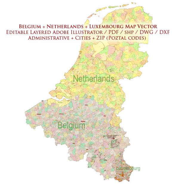
Belgium, the Netherlands, and Luxembourg are three neighboring countries in Western Europe. Here’s a brief overview of their administrative divisions:
Belgium: Belgium is a federal state with three main levels of government:
- Federal Government: This level of government deals with national and international matters, such as foreign affairs, defense, and justice. The federal government consists of the King, the federal parliament (the Chamber of Representatives and the Senate), and the federal executive (the Prime Minister and the federal ministers).
- Regional Governments: Belgium has three regions, each with its own government, responsible for a range of policy areas. These regions are:
- Flanders: The northern Dutch-speaking region.
- Wallonia: The southern French-speaking region.
- Brussels-Capital: The bilingual Brussels-Capital Region, which is officially bilingual (Dutch and French).
- Community Governments: Belgium also has three communities, each with its own government, responsible for cultural, educational, and personal matters. These communities are:
- Flemish Community: Serves the Dutch-speaking population.
- French Community: Serves the French-speaking population.
- German-speaking Community: Serves the German-speaking population in a small area of eastern Belgium.
Netherlands: The Netherlands, also known as Holland, is a unitary parliamentary constitutional monarchy. It is divided into 12 provinces, each of which is further divided into municipalities. The provinces are the primary administrative divisions responsible for various regional matters, while the municipalities handle local government responsibilities.
Luxembourg: Luxembourg is a constitutional monarchy and a unitary state with three administrative districts:
- Luxembourg District: This district includes the city of Luxembourg and its surrounding areas. It’s the country’s capital and the political, administrative, and economic center.
- Diekirch District: Located in the northern part of the country, this district includes the city of Diekirch and surrounding areas.
- Grevenmacher District: Situated in the eastern part of Luxembourg, this district includes the city of Grevenmacher and its surroundings.
Each of these districts is further subdivided into cantons and communes, which are the local administrative units.
Please note that the administrative structures and divisions within these countries can change over time due to political decisions and reforms, so it’s a good idea to consult up-to-date official sources for the most current information.


 Author: Kirill Shrayber, Ph.D. FRGS