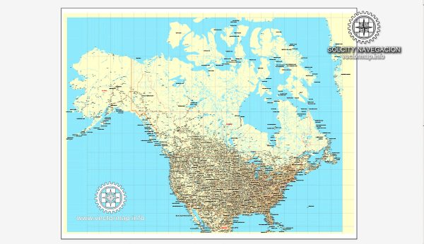
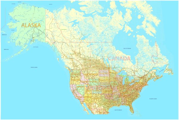
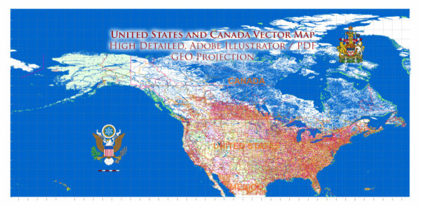
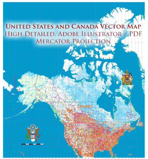
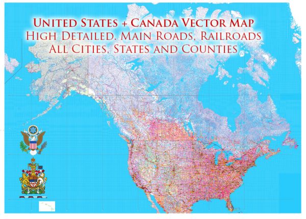
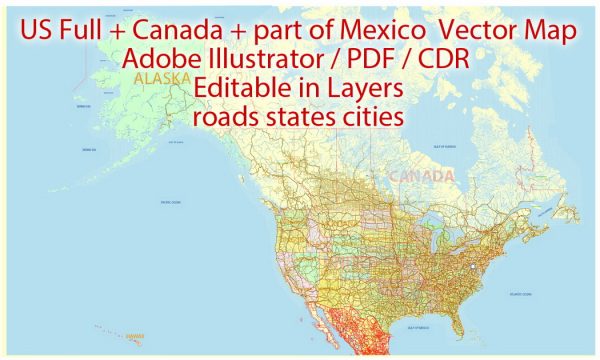
The road systems in the United States and Canada are extensive and well-developed, making travel by car and truck a common and convenient mode of transportation. Here are some key points about the road systems in these countries:
United States:
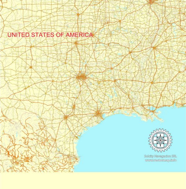
- Interstate Highway System: The United States has an extensive network of interstate highways, often referred to as the Interstate Highway System. These highways are identified by numbers with an “I” prefix (e.g., I-95, I-10). The system was authorized by the Federal-Aid Highway Act of 1956 and is known for its high-quality roads and well-maintained infrastructure.
- U.S. Routes: In addition to the interstate highways, there are U.S. Routes that traverse the country, identified by numbers (e.g., U.S. Route 66).
- State Highways: Each state manages its own system of state highways, which are important for regional and local travel.
- Road Quality: The quality of roads can vary from state to state and even within states. While major interstate highways tend to be well-maintained, some rural roads may be less developed.
- Toll Roads: Many states have toll roads, where drivers must pay a fee to use certain stretches of highway.
- Scenic Byways: The United States offers many scenic byways, which are designated routes known for their natural beauty and historical significance.
- Urban Traffic: Major cities in the United States can have heavy traffic congestion, especially during rush hours.
Canada:
- Trans-Canada Highway: Canada’s equivalent to the Interstate Highway System is the Trans-Canada Highway, which spans the entire country from the Atlantic Ocean to the Pacific Ocean and the Arctic Ocean. It’s identified as Highway 1.
- Provincial Highways: Each province and territory in Canada manages its own network of highways. These roads can vary in quality, with more remote areas often having gravel or dirt roads.
- Winter Conditions: Canada’s road system is subject to challenging winter weather conditions in many regions, including heavy snow and ice. Winter maintenance is a significant part of road management.
- Toll Roads: Some parts of Canada have toll roads, where drivers must pay to use certain highways.
- Rural and Remote Areas: In Canada, there are vast stretches of wilderness and remote areas where road infrastructure may be limited. Traveling in northern and remote parts of the country can be challenging.
- Multilingual Signage: Due to Canada’s bilingual status, road signs are often in both English and French, especially in the province of Quebec.
Both the United States and Canada have extensive road networks that facilitate transportation and commerce, but travelers should be prepared for varying road conditions and potential challenges, particularly in remote and northern regions.

 Author: Kirill Shrayber, Ph.D. FRGS