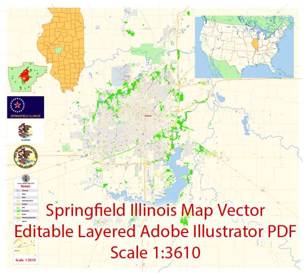
Springfield is the capital city of the U.S. state of Illinois. It is located in the central part of the state and is known for its historical significance, particularly as the hometown of Abraham Lincoln, the 16th President of the United States.
Here are some key facts about Springfield, Illinois:
- History: Springfield is closely associated with Abraham Lincoln, who lived and practiced law there before becoming President. The city is home to numerous historic sites and landmarks related to Lincoln, including his former home and the Abraham Lincoln Presidential Library and Museum.
- State Capital: Springfield has been the capital of Illinois since 1837, when it replaced Vandalia as the state capital. The Illinois State Capitol building is an important government and political center in the city.
- Economy: Springfield’s economy is diverse, with government, healthcare, and education playing significant roles. The presence of state government institutions, including the state capitol and various state agencies, contributes to the city’s economy. Healthcare is also a major industry, with several hospitals and healthcare providers in the area.
- Education: Springfield is home to several educational institutions, including the University of Illinois Springfield and several public and private schools. The city’s educational system is an important part of the community.
- Culture: Springfield offers various cultural attractions, such as museums, theaters, and festivals. In addition to the Abraham Lincoln Presidential Library and Museum, you can visit the Illinois State Museum, the Dana-Thomas House, and enjoy events like the Illinois State Fair.
- Geography: The city is located in central Illinois and is part of Sangamon County. It is situated near the Sangamon River and is known for its relatively flat terrain.
- Transportation: Springfield is accessible by road, and it’s well-connected to major highways, including Interstate 55, which runs through the city. The Abraham Lincoln Capital Airport provides air travel options.
- Population: The population of Springfield was approximately 115,000 as of my last knowledge update in September 2023.
Springfield, Illinois, is not only an important political and historical hub but also offers a variety of cultural and educational opportunities for residents and visitors. Its ties to Abraham Lincoln make it a significant destination for those interested in U.S. history.


 Author: Kirill Shrayber, Ph.D. FRGS