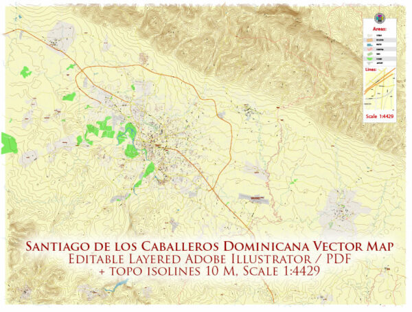
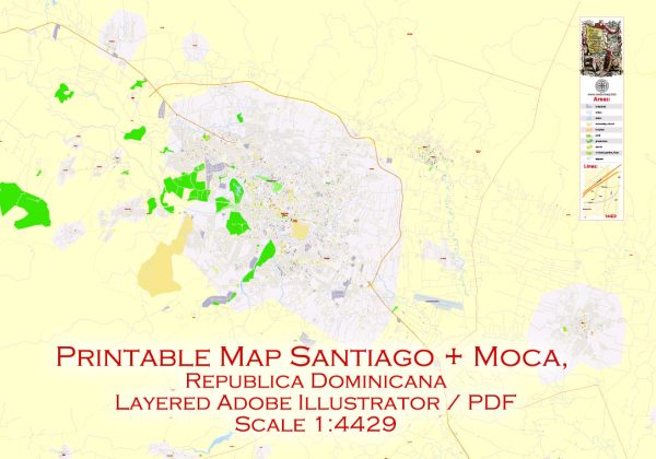
Vector Maps of the Santiago de los Caballeros : city in the north of the Dominican Republic. On a hilltop, the 1944 Monumento de Santiago, topped by a white column, is dedicated to the heroes of the Dominican Restoration War. Dominican art is displayed at the Centro León cultural center. The 17th-century Fortaleza San Luis is now a museum, with tanks and military equipment. Park Duarte has paths, tropical trees and a bandstand.
Area: 524 km²
Elevation: 175 m
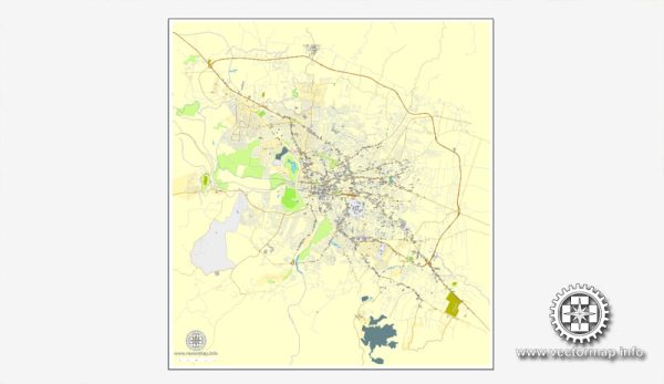
Download royalty free, editable vector maps of Santiago de los Caballeros Dominican Republic in high resolution digital PDF and Adobe Illustrator format.
Map — Santiago De Los Caballeros Dominicana
An editable map of Santiago De Los Caballeros Dominicana designed as a dependable base for print and digital layouts. Coordinates and scales are prepared for sheet production and consistent exports. Named layers let you restyle colors, line weights and label classes without cleanup passes. Contours and landuse layers can be toggled to match tourism or planning use cases. District and neighborhood labels are arranged to avoid collisions around dense cores. Layer structure separates arterials and locals, districts, hydrography, parks and landmarks.
Works well as an underlay for wayfinding, transport schemes and editorial layouts. Saves prepress time by reducing manual fixes and keeping the visual system consistent. Files remain compact thanks to clean geometry and disciplined labeling. Keeps labels readable while allowing deep customization of routes and highlights.


 Author: Kirill Shrayber, Ph.D. FRGS