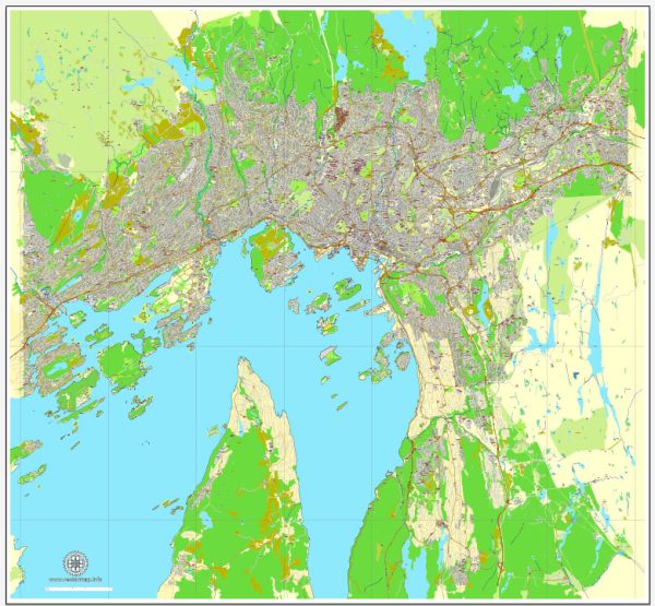
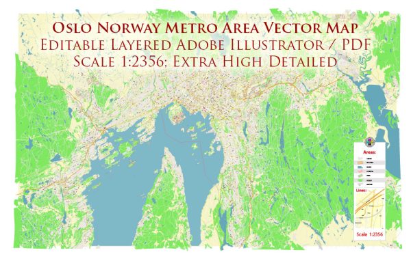
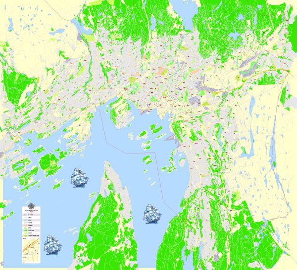
Veicteoir Léarscáileanna den Oslo Norway le dearadh agus priontáil, saor ó ríchíosa
Cartlanna íoslódála meandracha: léarscáileanna veicteora saor ó ríchíosa in eagar de Oslo Norway i ardtaifeach
Formáid dhigiteach PDF agus Adobe Illustrator.
Is comhaid dhigiteacha iad na léarscáileanna veicteora Oslo Norway seo in eagar go léir,
ar féidir é a íoslódáil láithreach i bhformáid PDF nó Adobe Illustrator in-eagarthóireacht.
De ghnáth roinntear rudaí ar léarscáileanna i sraitheanna de réir a gcineálacha – línte, polagáin,
ainmneacha sráide, ainmneacha réad (féach cur síos ar an léarscáil!!!!)
Tá gach ceann de na léarscáileanna digiteacha Oslo Norway seo ar fáil i bhformáid Adobe Illustrator nó in eagar PDF,
(nó ar iarratas in aon fhormáid aitheanta eile ar an bpraghas céanna)
a úsáideann cur chuige veicteora chun íomhánna a thaispeáint,
is féidir leat aon chuid de na léarscáileanna seo a mhéadú go héasca gan cur isteach ar cháilíocht téacs, líne nó grafach,
le haon mhéadú nó laghdú cóimheas.
Ag baint úsáide as eagarthóir grafaic veicteora ar nós Adobe Illustrator, CorelDraw, Inkscape, nó Freehand
is féidir leat codanna den léarscáil a bharr go héasca, carachtair saincheaptha a chur leis, agus dathanna agus tréithe cló a athrú de réir mar is gá.
Tá éagsúlacht léarscáileanna veicteora Oslo Norway againn le leibhéil éagsúla sonraí,
ó chosáin shimplí fholmha go léarscáileanna an-mhionsonraithe le sraitheanna bóithre agus tír-raon.


 Author: Kirill Shrayber, Ph.D. FRGS