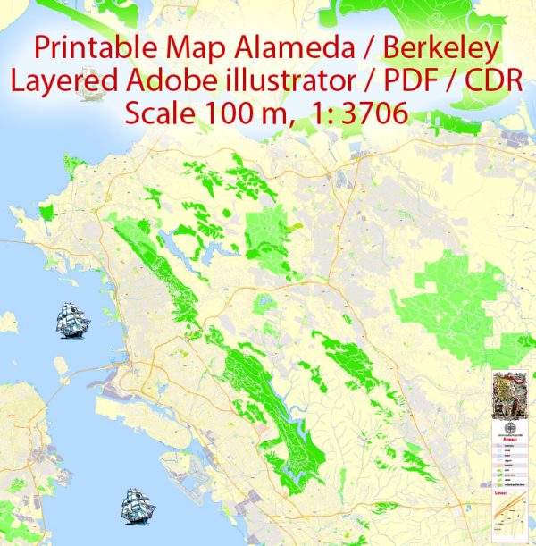
Richmond, California: Geography
Richmond is located at 37°56′09″N 122°20′52″W.[8] According to the United States Census Bureau,
the city has a total area of 52.5 square miles (136 km2), of which 30.1 square miles (78 km2)
is land and 22.4 square miles (58 km2) (comprising 42.71%) is water. The city sits on 32 miles (51 km)
of waterfront, more than any other city in the Bay Area.[33] The city borders San Francisco Bay to the
southwest and San Pablo Bay to the northwest, and includes Brooks Island and the Brother Islands entirely,
and half of Red Rock Island.
There are several cities and unincorporated communities surrounding or bordering Richmond.
To the south is the city of Albany which is in Alameda County and the city of El Cerrito.
The unincorporated communities of East Richmond Heights, Rollingwood, Hasford Heights,
and El Sobrante lie to the east. North Richmond to the west and San Pablo to the east
are almost entirely surrounded by Richmond’s city limits. To the north, Richmond borders
the city of Pinole and the unincorporated areas of Bayview, Montalvin Manor, Hilltop Green, Tara Hills.
Richmond borders Alameda, San Francisco, and Marin counties in the Bay and Red Rock Island.
The city is within the 94801, 94803, 94804, 94805, and 94806 ZIP Codes.
Source: https://en.wikipedia.org/wiki/Richmond,_California


 Author: Kirill Shrayber, Ph.D. FRGS