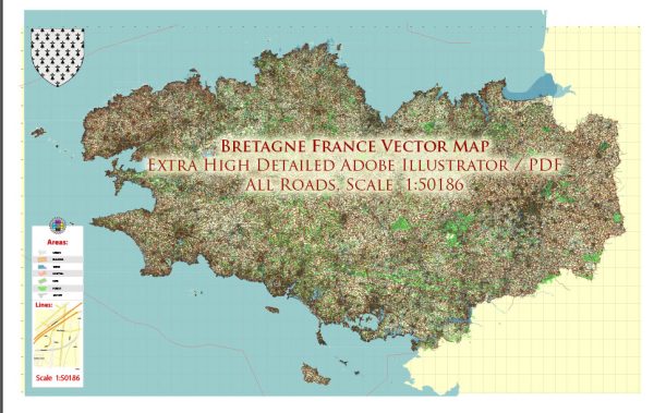
Brittany, or Bretagne in French, is a region in northwestern France known for its beautiful coastline, historic towns, and vibrant culture. The region has a well-developed transport system to make it accessible to both tourists and residents. Here’s an overview of the transportation options in Brittany:
- Rail Transportation:
- TGV (Train à Grande Vitesse): High-speed trains connect Brittany to major cities like Paris, Rennes, and Nantes. The TGV line provides efficient and fast rail travel within the region.
- TER (Transport Express Régional): The TER network serves Brittany extensively, connecting towns and cities within the region. It’s a reliable and affordable way to travel locally.
- Road Transportation:
- Autoroutes: Brittany is connected to the rest of France by several major highways, such as the A11 and A84, which provide quick access by car.
- Departmental Roads: There is an extensive network of well-maintained departmental roads that connect towns and villages throughout the region.
- Public Transportation:
- Buses and Trams: Many towns and cities in Brittany have local bus and tram services that facilitate public transportation within urban areas.
- Bicycle Rentals: Brittany is a great place for cycling enthusiasts. You can rent bicycles in many cities to explore the region at your own pace.
- Air Travel:
- Brittany has several airports, including Rennes-Saint-Jacques Airport, Brest Bretagne Airport, and Nantes Atlantique Airport, which offer domestic and international flights. These airports provide convenient access to and from the region.
- Ferries:
- Due to its extensive coastline, Brittany has several ferry ports, including St. Malo, Roscoff, and Lorient, with connections to the UK, Ireland, and other French regions.
- Carpooling:
- Carpooling services like BlaBlaCar are popular in France, including Brittany. They offer a cost-effective and eco-friendly way to travel between cities.
- Taxis and Ride-Sharing:
- Taxis and ride-sharing services like Uber operate in urban areas and can be a convenient option for local transportation.
- Cycling and Walking:
- Many towns in Brittany have well-maintained bike paths and pedestrian-friendly areas, making it easy to explore on foot or by bike.
- Tourist Trains:
- Some areas in Brittany offer scenic tourist train rides, providing a unique way to explore the region’s natural beauty and historic sites.
The transportation infrastructure in Brittany is well-developed, making it easy for visitors to explore its beautiful landscapes, historic sites, and coastal areas. Whether you prefer traveling by train, car, or other means, you can find suitable transportation options to suit your needs in this picturesque region of France.


 Author: Kirill Shrayber, Ph.D. FRGS