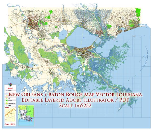
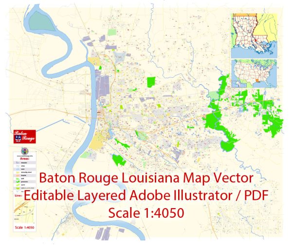
Vector Maps of the Baton Rouge City : capital of Louisiana, U.S., and seat (1811) of East Baton Rouge parish. Baton Rouge is a port situated at the head of deepwater navigation on the Mississippi River, in the southeast-central part of the state. The French-Canadian explorer Pierre Le Moyne d’Iberville visited the area in 1699 and observed a red cypress post (baton rouge) that marked a boundary between the Houma and Bayougoula Indians. The French built and garrisoned a fort on the site in 1719 and named it for the post. The area was ceded to Britain in 1763 at the end of the French and Indian War. During the American Revolution, the Spanish overpowered the British garrison there on September 21, 1779, and controlled the region for the next 20 years.
Instant download archives: royalty free, editable vector maps of Baton Rouge Louisiana in high resolution digital PDF and Adobe Illustrator format.
Baton Rouge LA geographical dataCity Name: Baton Rouge |
Small towns nearby:Addis LA |
Large cities nearby:
New Orleans LA street map |
All of our editable Baton Rouge Louisiana vector maps are digital files,
which can be instantly downloaded in editable PDF or Adobe Illustrator format.
Objects on maps are usually divided into layers according to their types – lines, polygons, street names, object names (see map description!!!!)
Each of our Baton Rouge Louisiana digital maps is available in Adobe Illustrator or editable PDF format, (or on request in any other known format for the same price)
which use a vector approach to display images,
you can easily enlarge any part of our maps without compromising text, line or graphic quality,
with any increase or decrease ratio.
Using a vector graphics editor such as Adobe Illustrator, CorelDraw, Inkscape, or Freehand
you can easily crop parts of the map, add custom characters, and change colors and font attributes as needed.
We have a variety of Baton Rouge Louisiana vector maps with different levels of detail, from simple empty paths to highly detailed maps with roads and terrain layers.
Don’t see exactly what you’re looking for? Contact us to receive a special offer for an individual Baton Rouge Louisiana map for your project.


 Author: Kirill Shrayber, Ph.D. FRGS