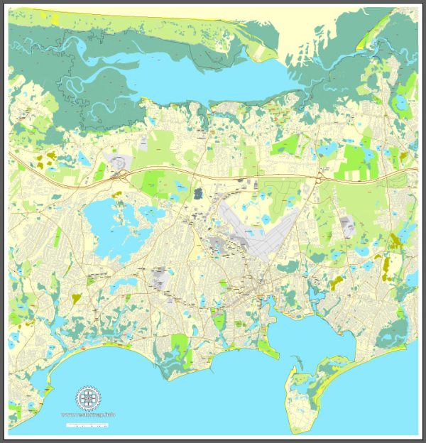
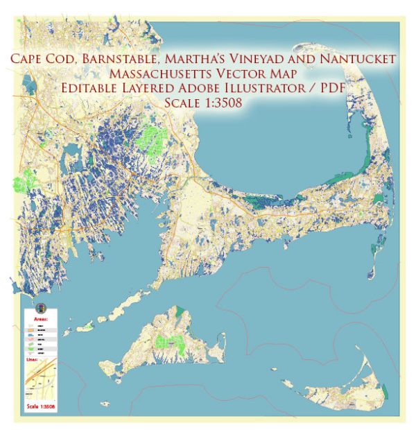
Vector Maps of the Barnstable : city, Barnstable county, southeastern Massachusetts, U.S. It is situated between Cape Cod Bay and Nantucket Sound, on the “biceps” of Cape Cod. It was settled in 1638 by farmers who were attracted to the site by salt hay found in the surrounding marshes, and in 1685 it was designated the county seat. During the 18th century, Barnstable was a thriving port for the New England molasses and rum trade. Since 1900 its economy has depended on summer tourism supplemented by fishing, oyster culture, and cranberry farming.
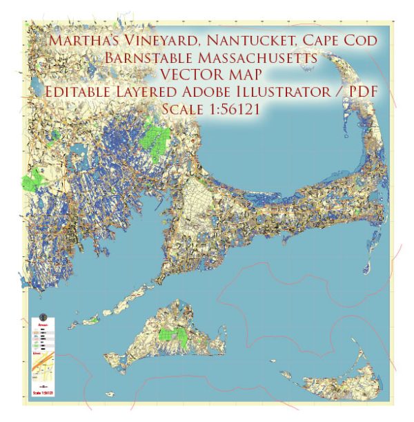
Instant download archives: royalty free, editable vector maps of Barnstable Massachusetts in high resolution digital PDF and Adobe Illustrator format.
Barnstable MA geographical dataCity Name: Barnstable |
Small towns nearby:Centerville MA |
Large cities nearby:South Boston MA road map |
All of our editable Barnstable Massachusetts vector maps are digital files,
which can be instantly downloaded in editable PDF or Adobe Illustrator format.
Objects on maps are usually divided into layers according to their types – lines, polygons, street names, object names (see map description!!!!)
Each of our Barnstable Massachusetts digital maps is available in Adobe Illustrator or editable PDF format, (or on request in any other known format for the same price)
which use a vector approach to display images,
you can easily enlarge any part of our maps without compromising text, line or graphic quality,
with any increase or decrease ratio.
Using a vector graphics editor such as Adobe Illustrator, CorelDraw, Inkscape, or Freehand
you can easily crop parts of the map, add custom characters, and change colors and font attributes as needed.
We have a variety of Barnstable Massachusetts vector maps with different levels of detail, from simple empty paths to highly detailed maps with roads and terrain layers.
Don’t see exactly what you’re looking for? Contact us to receive a special offer for an individual Barnstable Massachusetts map for your project.

 Author: Kirill Shrayber, Ph.D. FRGS