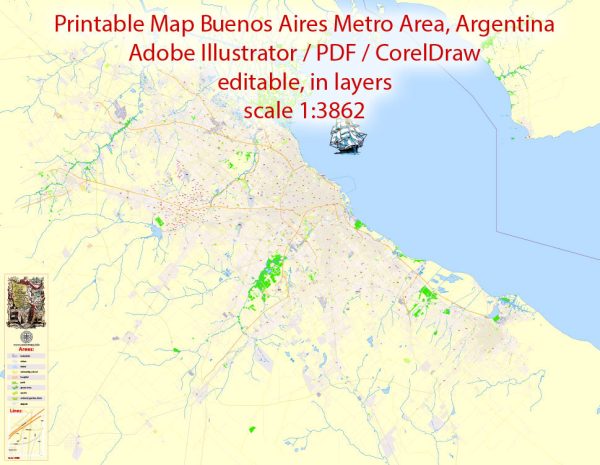
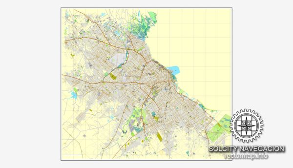
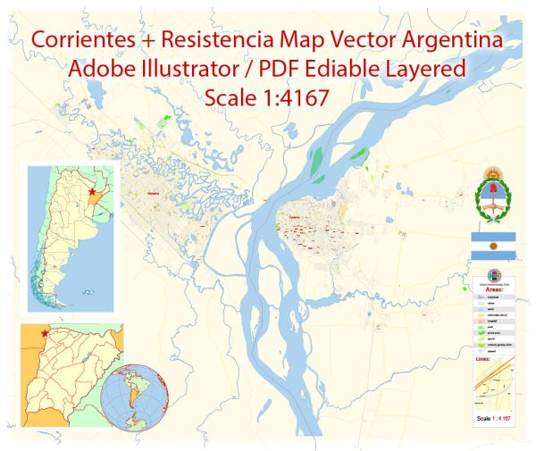
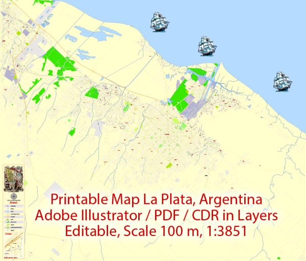
Vector Maps of the Argentina : officially the Argentine Republic, is a country in the southern half of South America. Argentina covers an area of 2,780,400 km², making it the largest Spanish-speaking nation in the world by area.
Capital: Buenos Aires
Area:
• Total: 2,780,400 km2 (1,073,500 sq mi)
• Water: (%) 1.57
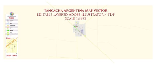
Download royalty free, editable vector maps of Argentina in high resolution digital PDF and Adobe Illustrator format.
For printing LARGE (WALL) or SMALL (A4) format (please, see the preview and descriptions). DWG, DXF, CDR, ESRI Shapes and other formats, or you can’t find a map that you need – please contact us
Map Data Specification
-
Data type: Vector cartographic dataset
-
Geometry: Polylines and polygons
-
Coordinate system: WGS84 geographic coordinate system
-
Editing compatibility: Adobe Illustrator and vector graphic editors
-
Data structure: Layered map file suitable for design and print workflows

 Author: Kirill Shrayber, Ph.D. FRGS