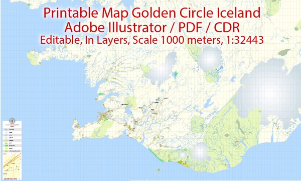
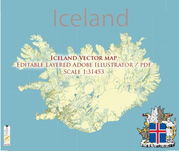
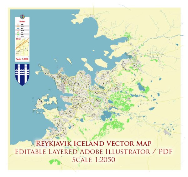
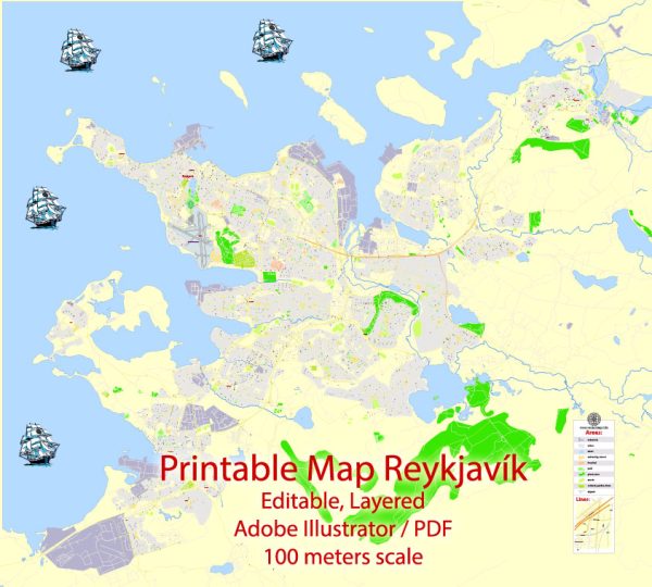
Vector Maps of the Iceland : Nordic island nation, is defined by its dramatic landscape with volcanoes, geysers, hot springs and lava fields. Massive glaciers are protected in Vatnajökull and Snæfellsjökull national parks. Most of the population lives in the capital, Reykjavik, which runs on geothermal power and is home to the National and Saga museums, tracing Iceland’s Viking history.
Capital: Reykjavík
Download royalty free, editable vector maps of Iceland in high resolution digital PDF and Adobe Illustrator format.
Iceland City Maps Vector Urban Plans in the Adobe Illustrator, PDF and other vector formats Street Maps for publishing, design, printing, media, publications, arts, projects, presentations, for architects, designers and builders, business, logistics. The most exact and detailed maps.
For printing LARGE (WALL) or SMALL (A4) format (please, see the preview and descriptions). DWG, DXF, CDR, ESRI Shapes and other formats, or you can’t find a map that you need – by request.
Map Data Specification
-
Data type: Vector cartographic dataset
-
Geometry: Polylines and polygons
-
Coordinate system: WGS84 geographic coordinate system
-
Editing compatibility: Adobe Illustrator and vector graphic editors
-
Data structure: Layered map file suitable for design and print workflows


 Author: Kirill Shrayber, Ph.D. FRGS