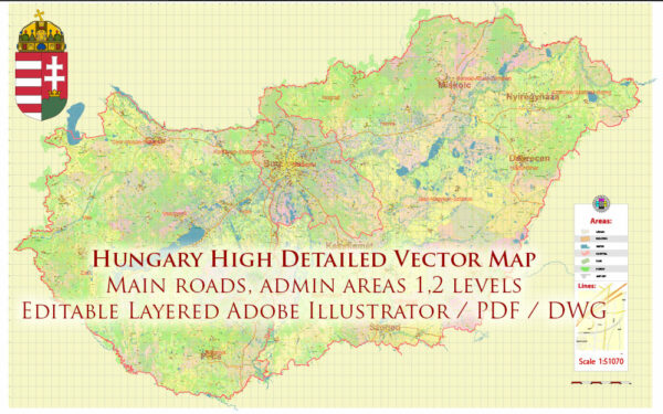
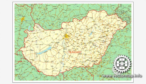
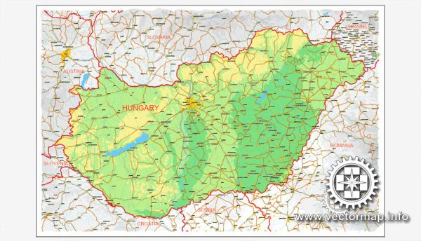
Hungary Vector Maps in the Adobe Illustrator, PDF and other vector formats for publishing, design, printing, publications, arts, projects, presentations, for architects, designers and builders, business, logistics. The most exact and detailed maps.
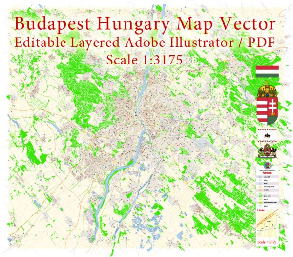
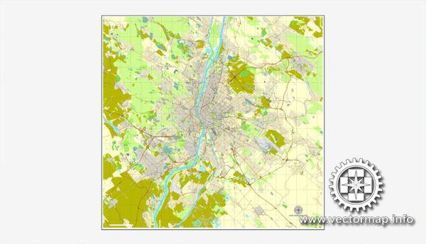
Vector Maps of the Hungary : landlocked country in Central Europe. Its capital, Budapest, is bisected by the Danube River. Its cityscape is studded with architectural landmarks from Buda’s medieval Castle Hill and grand neoclassical buildings along Pest’s Andrássy Avenue to the 19th-century Chain Bridge. Turkish and Roman influence on Hungarian culture includes the popularity of mineral spas, including at thermal Lake Hévíz.
Capital: Budapest
Download royalty free, editable vector maps of Hungary in high resolution digital PDF and Adobe Illustrator format.
Map Data Specification
-
Data type: Vector cartographic dataset
-
Geometry: Polylines and polygons
-
Coordinate system: WGS84 geographic coordinate system
-
Editing compatibility: Adobe Illustrator and vector graphic editors
-
Data structure: Layered map file suitable for design and print workflows

 Author: Kirill Shrayber, Ph.D. FRGS