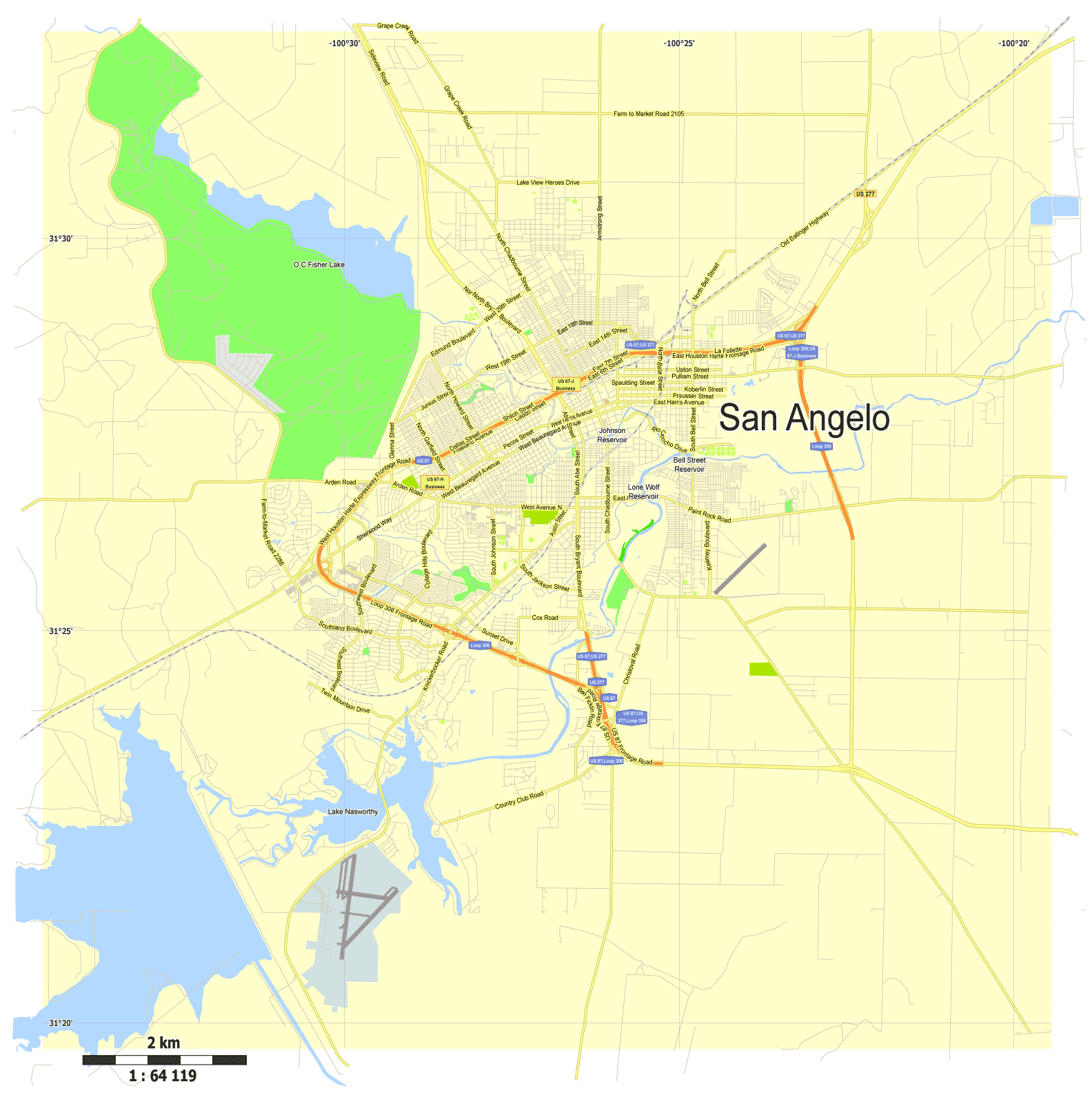
Download now Free Vector Map San Angelo, Texas, Adobe Illustrator

This work is licensed under a Creative Commons Attribution 4.0 International License.
Turn any image into a Google Map
“Update: Maplib no longer exists so all links have been removed from this post
This next tool is one of the cooler new apps I’ve come across that has been built using the Google Maps API. Or probably just buying Houston, Texas, US, printable vector street City Plan map, full editable, Adobe PDF, full vector. Maplib is an extremely simple app created by Xiao Yisheng that allows you to upload a large image and instantly apply the Google Maps interface to it for easy viewing. Upload an image as large as 6000 x 6000 and host it on MapLib (or embed it on your blog or website) with its own URL and Google Maps viewing interface.
Think of the uses for this! (Examples)
– Maps in various image formats can instantly be uploaded and turned into a Google Maps viewing experience!
– Large images with abundant depth and detail can be annotated
– Detailed business related product photos can be described by owners or other visitors to the image.
– A large photo with many people or places can be annotated like a Google Map!
The list goes on..
To get started, register for an account via a quick email confirmation process. Then get started with creating a map by uploading an image from inside the “”My Maps”” tab. Settings for each map include title, description and control for who can add map markers. You can have this set for only you, or you can let visitors to the map annotate the image as well. Once the image is live you can send the link to it or embed it onto a website. Here is an example for a large image I uploaded of a recent tradeshow I attended:
More Google Maps Creation Tools can be found here.. Source.

Free download Vector Map US Interstate roads, Adobe PDF, V.2 Free_Map_US_Interstates_Roads_2.pdf
Free download Vector Map US Interstate roads, Adobe Illustrator, V.2 Free_Map_US_Interstates_Roads_2.ai

Free Download Vector Map US County and State Adobe Illustrator
Free_Vector_Map_US_States_County_Map.ai
Free Download Vector Map US County and State Adobe PDF
Free_Vector_Map_US_States_County_Map.pdf

Free Vector Map US Census Data Top US Ancestries by County Adobe Illustrator
Free_Vector_Map_US_Census-Data-Top-US-Ancestries-by-County.ai
Free Vector Map US Census Data Top US Ancestries by County Adobe PDF
Free_Vector_Map_US_Census-Data-Top-US-Ancestries-by-County.pdf
 Author: Kirill Shrayber, Ph.D. FRGS