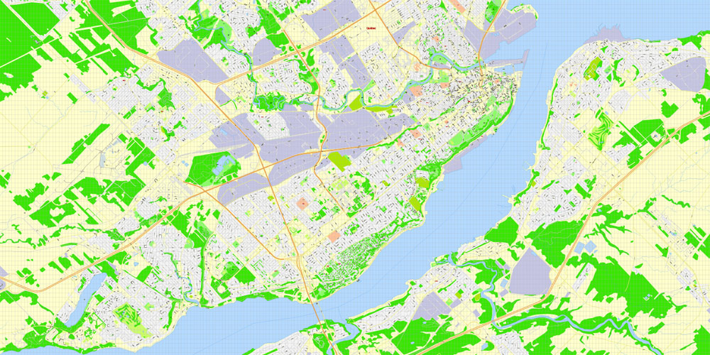
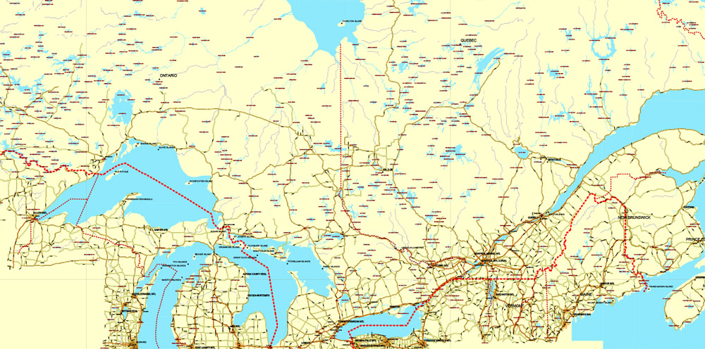
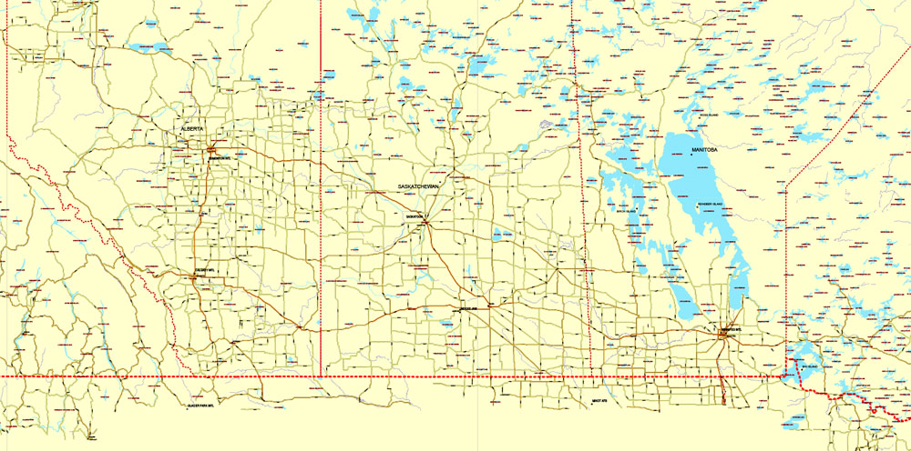
Quebec, Canada, Free Printable Map in Adobe Illustrator and PDF. Level 12 (5000 meter scale) map, G-VIEW, fully editable, full vector, scalable, editable text format of street names.
Map for publishing, design, printing, publications, arts, projects, presentations, for architects, designers and builders, business, logistics. The most exact and detailed map of the city. Royalty Free.
Download free Quebec, Canada, Printable Map in PDF, Level 12 (5 Mb).
Download free Quebec, Canada, Printable Map in Illustrator, Level 12 (2.5 Mb).

This work is licensed under a Creative Commons Attribution 4.0 International License.
Or purchase a detailed version of Quebec, Canada, Printable Map in Adobe Illustrator (17 Level, 100 meters).
More delicious FREE maps.
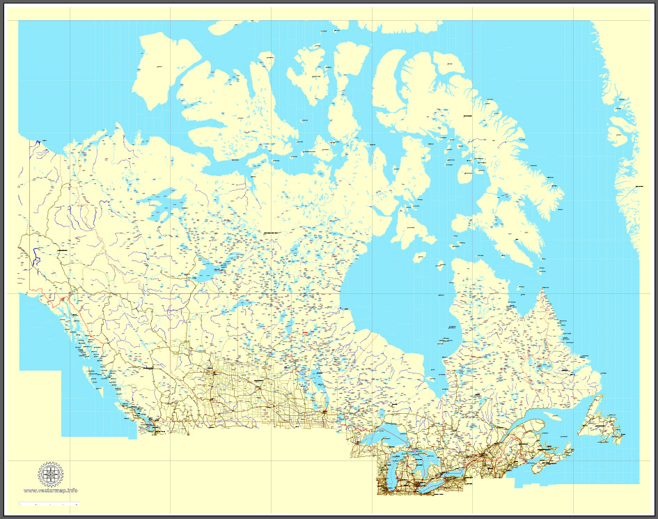
Download Free PDF Map Canada, mainroads, cities, borders, province borders, Adobe PDF Text format street names, full editable, Layers: grownd, nombres, borders, symbols, halo.
 Author: Kirill Shrayber, Ph.D. FRGS