Free vector map State Vermont US Adobe Illustrator and PDF download
Free vector map State Vermont US Adobe Illustrator download new >>>
Free vector map State Vermont US Adobe PDF download new >>>
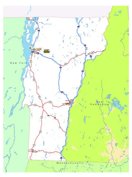
Vermont See also: Full version high detailed vector maps of the State territory, and Cities
US State
Vermont is a state in the northeastern United States, known for its natural landscape, which is primarily forested. Part of the New England region, it’s also known for being home to more than 100 19th-century covered wooden bridges, and as a major producer of maple syrup. Thousands of acres of mountain terrain are crossed by hiking trails and skiing slopes.
Capital: Montpelier
Abbreviation: VT
Population: 626,299
 Author: Kirill Shrayber, Ph.D. FRGS