Free vector map State Oklahoma US Adobe Illustrator and PDF download
Free vector map State Oklahoma US Adobe Illustrator download now >>>
Free vector map State Oklahoma US Adobe PDF download now >>>
Oklahoma See also: Full version high detailed vector maps of the State territory, and Cities
US State
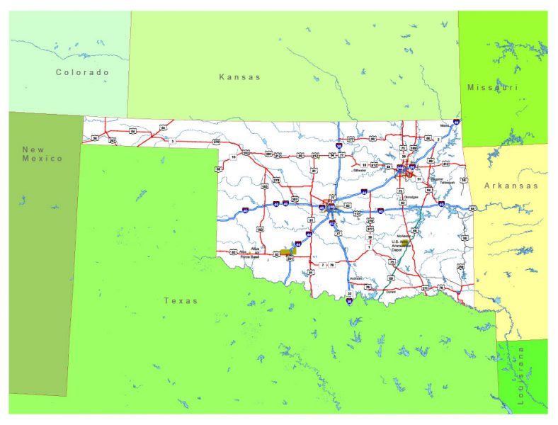
Oklahoma is a state in the South Central region of the United States, bordered by Kansas on the north, Missouri on the northeast, Arkansas on the east, Texas on the south, New Mexico on the west, and Colorado on the northwest. It is the 20th-most extensive and the 28th-most populous of the fifty United States.
Capital: Oklahoma City
Abbreviation: OK
Population: 3.943 million
 Author: Kirill Shrayber, Ph.D. FRGS