Free vector map State Minnesota US Adobe Illustrator and PDF download
Free vector map State Minnesota US Adobe Illustrator download now >>>
Free vector map State Minnesota US Adobe PDF download now >>>
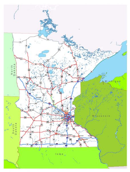
Minnesota See also: Full version high detailed vector maps of the State territory, and Cities
US State
Minnesota is a midwestern U.S. state bordering Canada and Lake Superior, the largest of the Great Lakes. The state contains more than 10,000 other lakes, including Lake Itasca, the Mississippi River’s primary source. The “Twin Cities” of Minneapolis and state capital Saint Paul are dense with cultural landmarks like the Science Museum of Minnesota and the Walker Art Center, a modern art museum.
Capital: Saint Paul
Abbreviation: MN
Population: 5.611 million
 Author: Kirill Shrayber, Ph.D. FRGS