Free vector map State Maryland US Adobe Illustrator and PDF download
Free vector map State Maryland US Adobe Illustrator download now >>>
Free vector map State Maryland US Adobe download now >>>
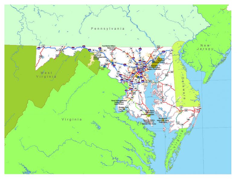
Maryland See also: Full version high detailed vector maps of the State territory, and Cities
US State
maryland.gov
Maryland is a Mid-Atlantic state that’s defined by its abundant waterways and coastlines on the Chesapeake Bay and the Atlantic Ocean. Its largest city, Baltimore, has a long history as a major seaport. Fort McHenry, the birthplace of the U.S. national anthem, sits at the mouth of Baltimore’s Inner Harbor, home to the National Aquarium and Maryland Science Center.
Capital: Annapolis
Abbreviation: MD
 Author: Kirill Shrayber, Ph.D. FRGS