Free vector map State Kansas US Adobe Illustrator and PDF download
Free vector map State Kansas US Adobe Illustrator download now >>>
Free vector map State Kansas US Adobe PDF download now >>>
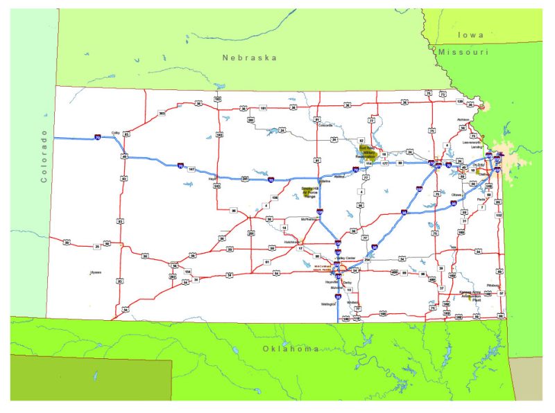
Kansas See also: Full version high detailed vector maps of the State territory, and Cities
US State
Kansas is a U.S. state in the Midwestern United States. Its capital is Topeka and its largest city is Wichita, with its most populated county being Johnson County. Kansas is bordered by Nebraska on the north; Missouri on the east; Oklahoma on the south; and Colorado on the west.
Capital: Topeka
Abbreviation: KS
Population: 2.912 million
 Author: Kirill Shrayber, Ph.D. FRGS