Free vector map State California Districts US Adobe Illustrator and PDF download
Free vector map State California Districts US Adobe Illustrator and PDF download now >>>
Free vector map State California Districts US Adobe Illustrator and PDF download now >>>
California See also: Full version high detailed vector maps of the State territory, and Cities
US State
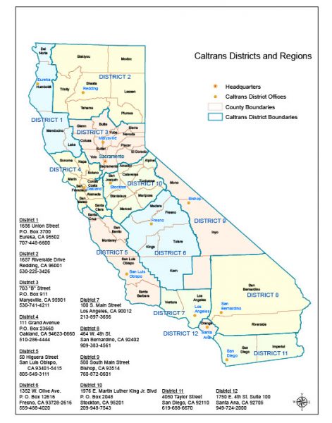
California, a western U.S. state, stretches from the Mexican border along the Pacific for nearly 900 miles. Its terrain includes cliff-lined beaches, redwood forest, the Sierra Nevada Mountains, Central Valley farmland and the Mojave Desert. The city of Los Angeles is the seat of the Hollywood entertainment industry. Hilly San Francisco is known for the Golden Gate Bridge, Alcatraz Island, and cable cars.
Capital: Sacramento
Population: 39.56 million
 Author: Kirill Shrayber, Ph.D. FRGS