Free vector map Former Yugoslavia Adobe Illustrator, download now maps vector clipart >>>>>
Map for design, projects, presentation free to use as you need.
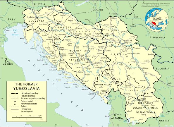
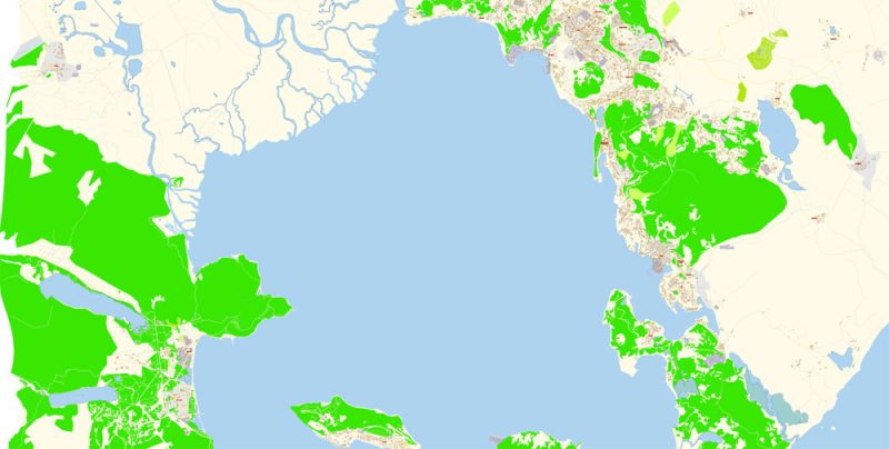
Yugoslavia
State
Yugoslavia is a state in Europe that existed on the Balkan Peninsula from 1918 to 2003. It had access to the Adriatic Sea.
Capital: Belgrade
Date of foundation: December 1, 1918
Currency: Yugoslav dinar
Population: 23.72 million
Free Vector World maps are here >>>>
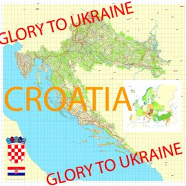
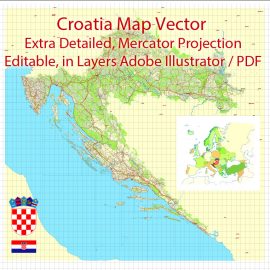
See also: Vector Maps Croatia
Free vector map World contour 2, Adobe Illustrator, download free maps vector clipart
Map for design, projects, presentation free to use as you like.

Free vector map World contour 2, Adobe Illustrator, download free maps vector clipart Map for design, projects, presentation free to use as you like.
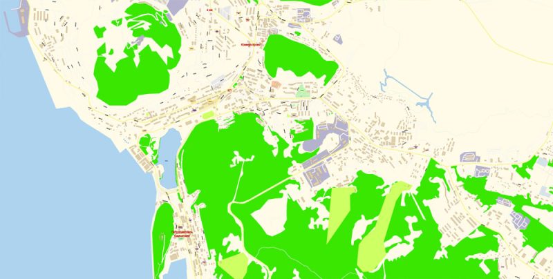
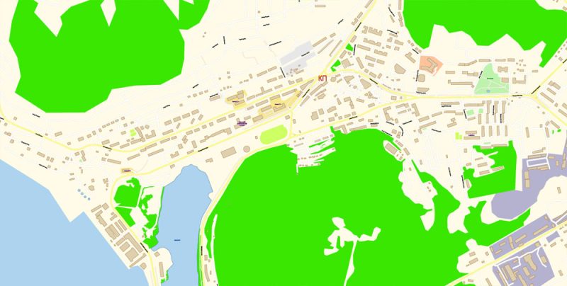
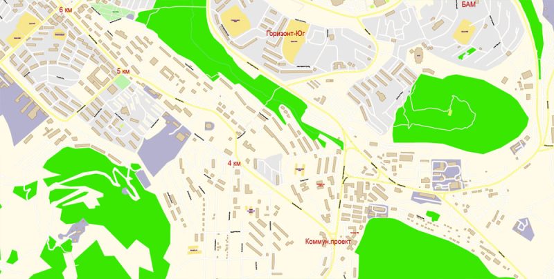
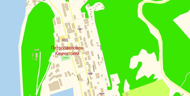
Векторная PDF карта Петропавловск-Камчатский Россия, подробная редактируемая, в слоях, для дизайна и полиграфии в формате Adobe PDF, масштаб 100 метров 1:2824 объем 8 мегабайт.
Все улицы с наименованиями, основные объекты, здания.
Карта предназначена для редактирования и печати в любом формате, полностью масштабируемая без потерь качества.
Для полиграфической рекламы, дизайна, туристических компаний, логистического бизнеса, архитектуры, строительства, проектирования.
Слои: color_fills, streets_roads, labels_roads, names_objects, names_streets, names_places, water, buildings, grids, legend, etc.
Самая точная и подробная карта города.
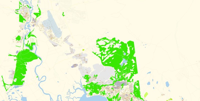
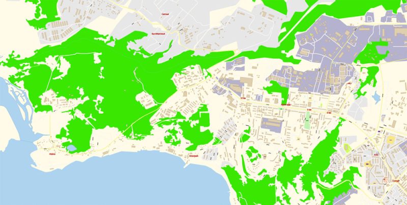
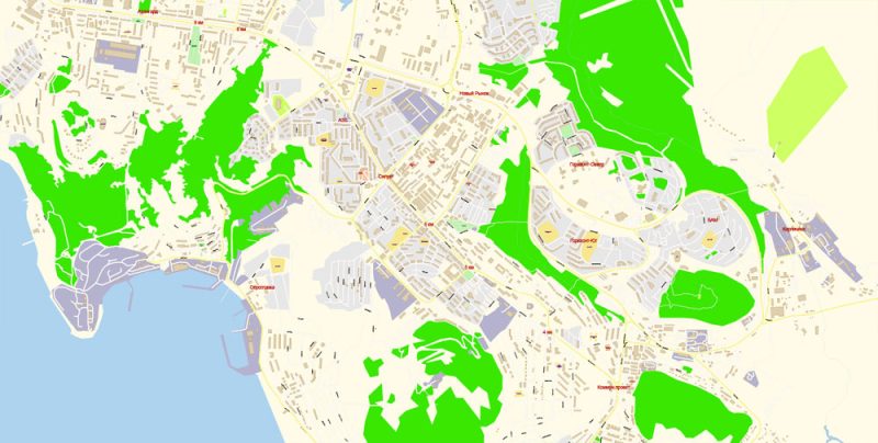
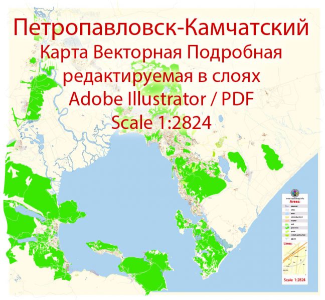
 Author: Kirill Shrayber, Ph.D. FRGS