Free vector map Alabama State US – counties, areas and names: Ai, PDF and SVG in 1 archive: Free Download now >>>>>
Alabama See also: Full version high detailed vector maps of the State territory, and Cities
US State
Vector Map of Alabama : US state located in the southeastern region of the United States. Has had statehood since 1819. The official nickname is “Heart of the South”. It borders Tennessee to the north, Georgia to the east, Florida and the Gulf of Mexico to the south, and Mississippi to the west.
Capital: Montgomery
Population: 5.04 million
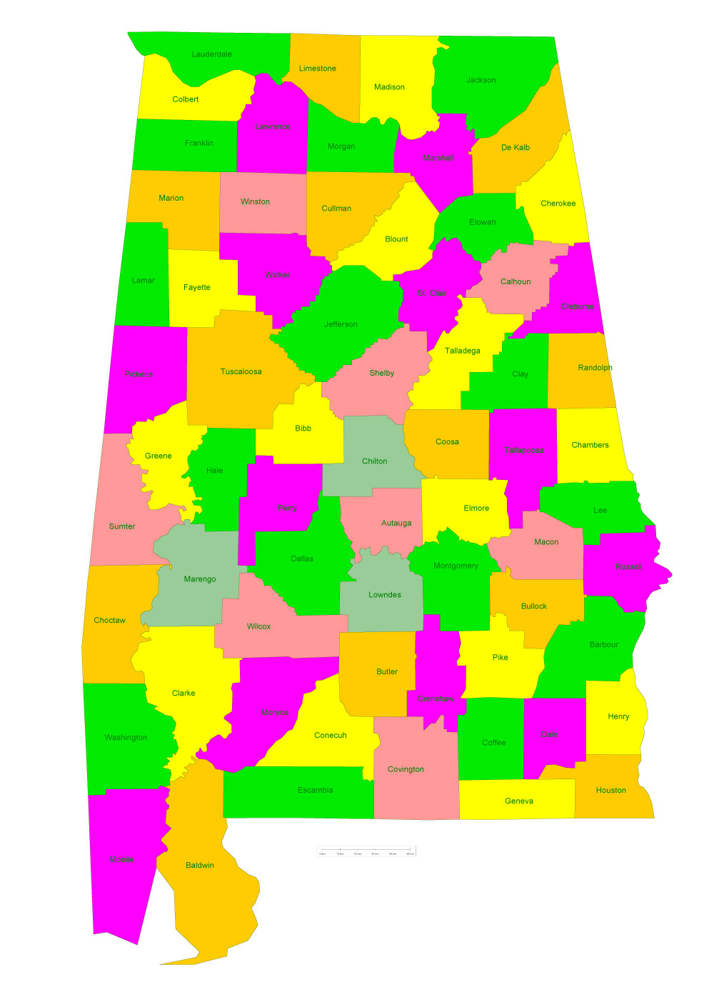
Free vector map Alabama State US – counties areas and names: Ai, PDF and SVG in 1 archive
See also: Full extra detailed Vector Maps State Alabama in Adobe Illustrator and PDF
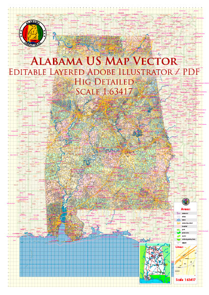
Alabama State US Map Vector Exact Roads Plan High Detailed Street Map + Counties + Zipcodes editable Adobe Illustrator in layers
 Author: Kirill Shrayber, Ph.D. FRGS