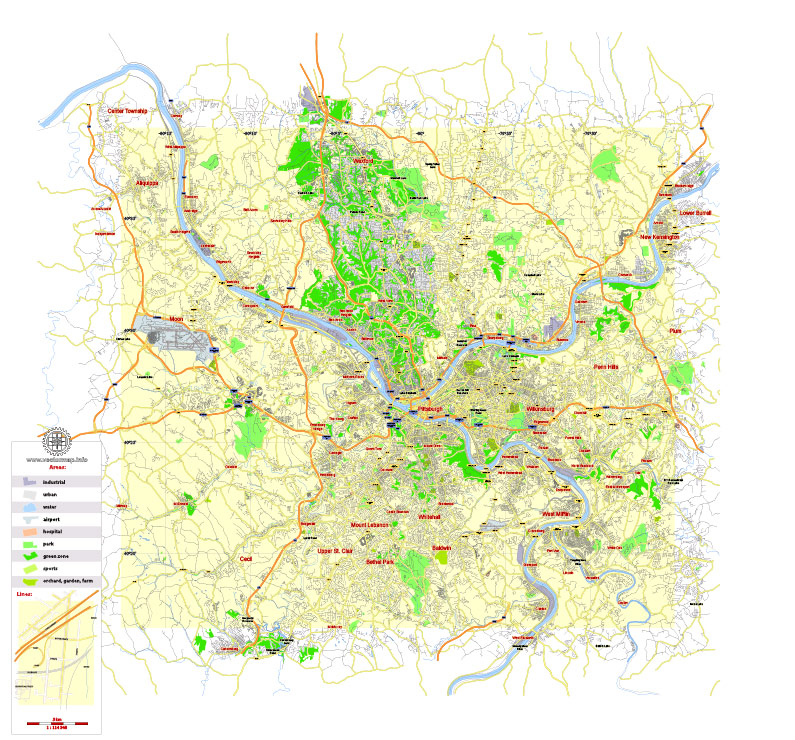
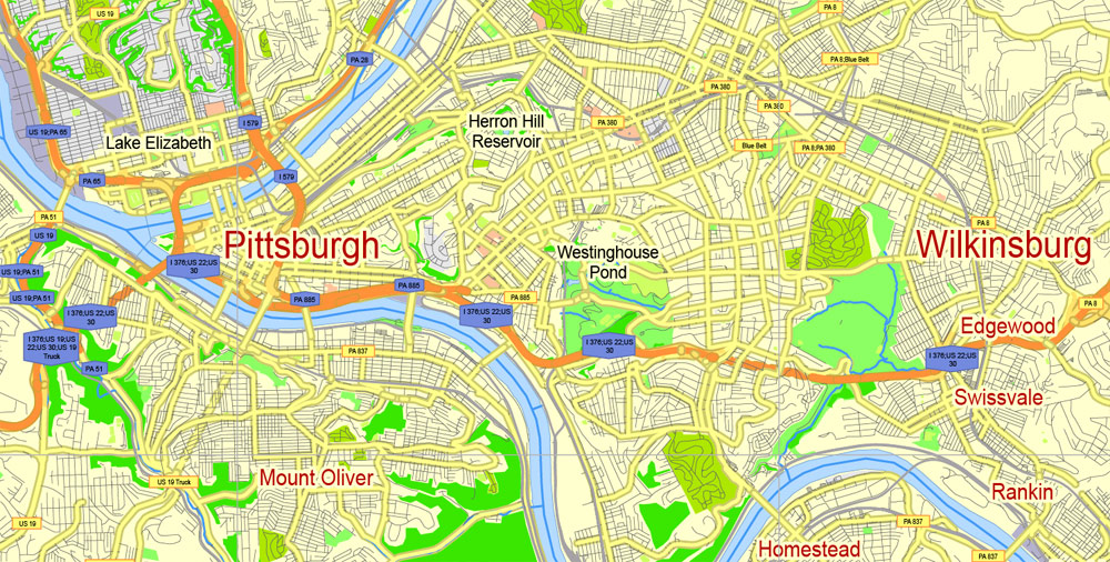
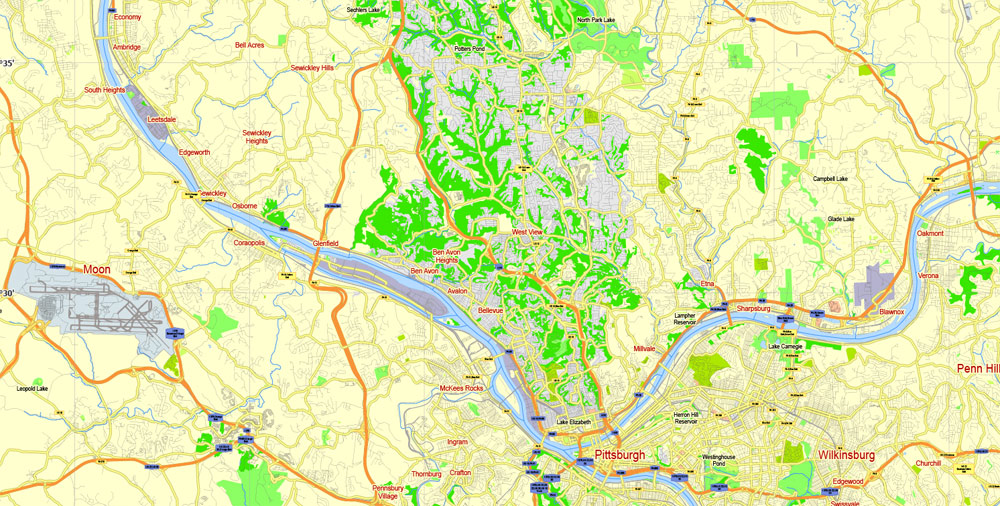
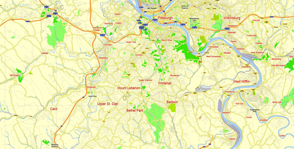
Free Printable Vector Map Pittsburgh, G-View level 12 (5000 m scale) street City Plan map, full editable, Adobe Illustrator and PDF, full vector, scalable, editable.
Map for publishing, design, printing, publications, arts, projects, presentations, for architects, designers and builders, business, logistics. The simple vector map of the city.
Layers: color fills, roads, labels, objects, names places, grids, legend, halo.
For printing small format.
Download links Ai, PDF
Free download printable_map_pittsburgh_us_g_view_level_12_ai_10_ai-ai
Free download printable_map_pittsburgh_us_g_view_level_12_ai_10_ai-pdf
 Author: Kirill Shrayber, Ph.D. FRGS