Free download vector map Croatia-East, Adobe Illustrator, download now >>>>>
Map for design, projects, presentation free to use as you like.
Please, Share it!
Croatia
Country, Balkan Peninsula See also: Full version maps of Croatia
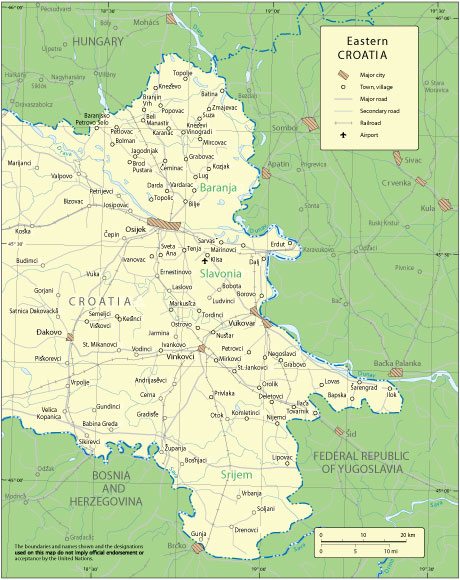
Croatia is an Eastern European country with almost 1,800 kilometers of Adriatic coastline. The state includes more than a thousand nearby islands. The Dinaric Highlands extend from the northwest to the southeast of the country. In the capital of Croatia, Zagreb, the medieval district of Gornji Grad (Upper Town) and various museums are popular. The main seaside resort of Dubrovnik is known for its 16th-century ramparts surrounding the Old Town with Gothic and Renaissance buildings.
Capital: Zagreb
Population: 4.047 million
 Author: Kirill Shrayber, Ph.D. FRGS