Taxonomy: Product Tags for this Vector Map
Extended Description of the Vector Map
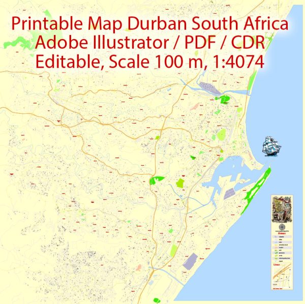
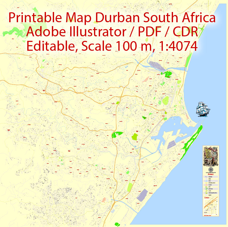
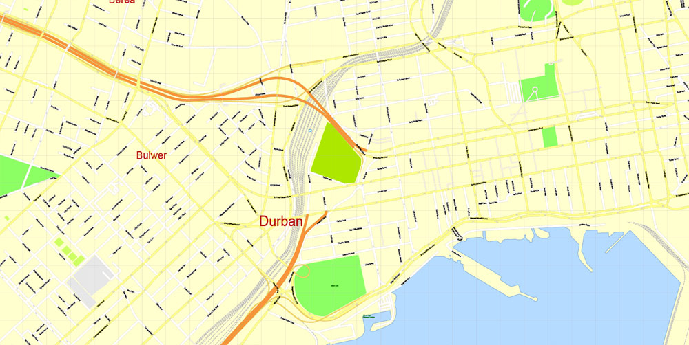
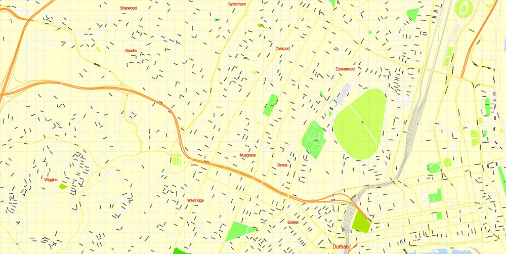
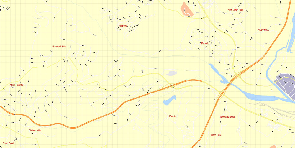
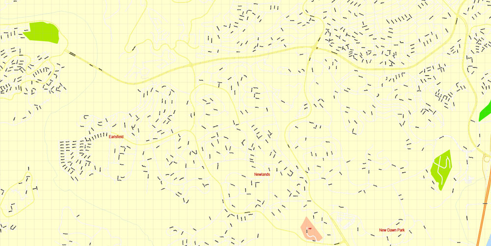
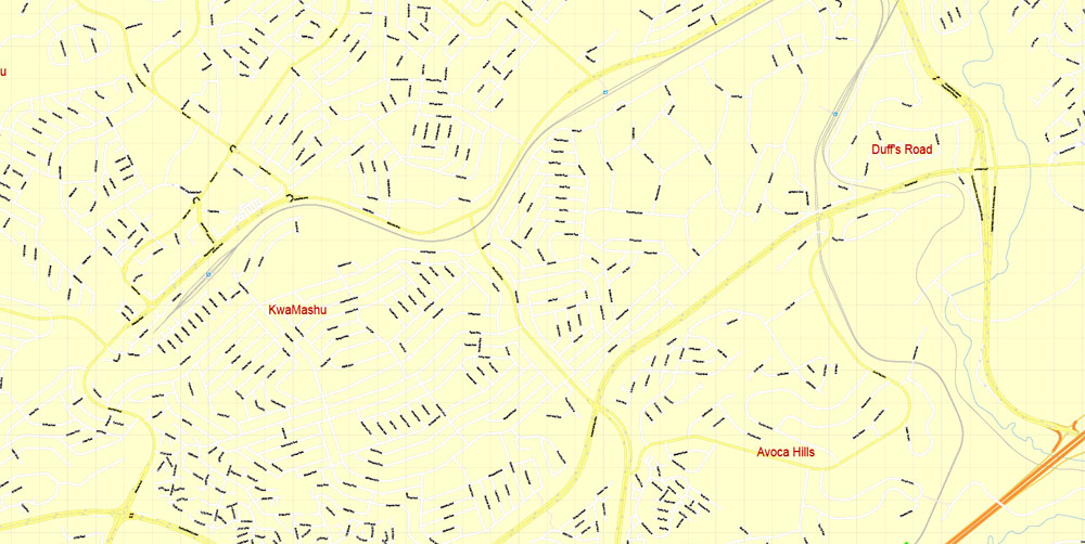
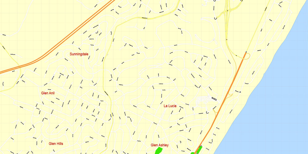
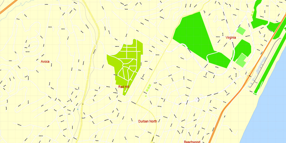
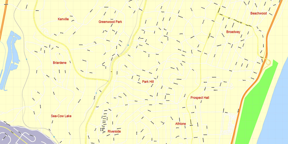
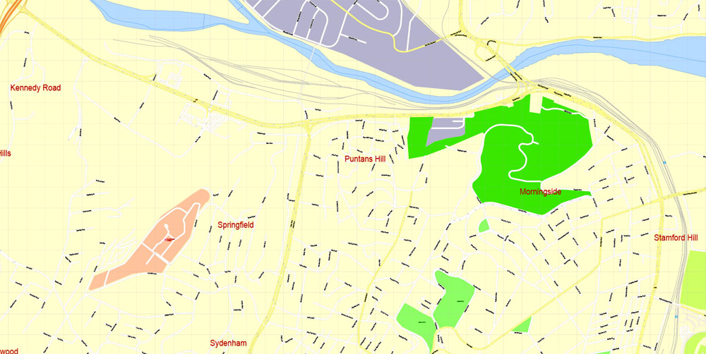
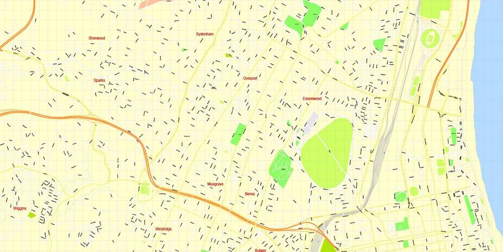
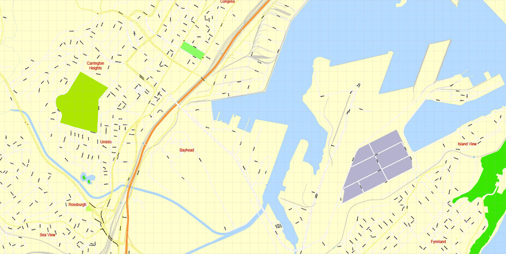
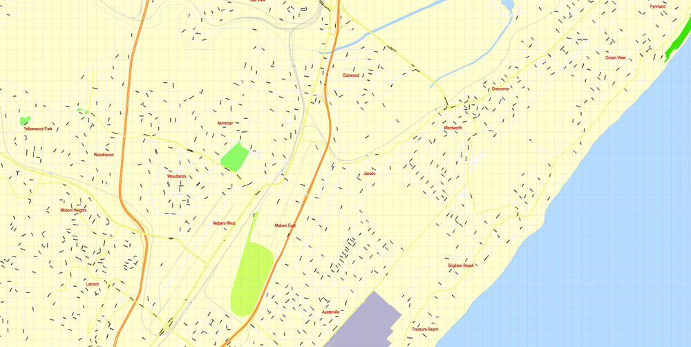
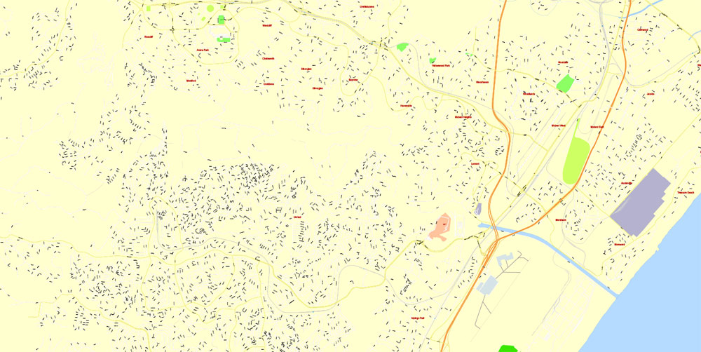
Printable PDF Vector Map Durban South Africa, exact detailed City Plan, 100 meters scale map 1:4074, editable Layered Adobe PDF, 34 Mb ZIP.
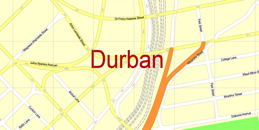
All streets named, main objects. Map for publishing, design, printing, publications, arts, projects, presentations, for architects, designers and builders, business, logistics. The most exact and detailed map of the city.
Layers: legend, grids, labels_roads, names_places, names_streets, names_objects, objects, arrows_streets, streets_roads, color_fills, etc.
Text format all names
DWG, DXF, CDR, ESRI Shapes, and other formats – by request, same price, please contact.
Durban
City in South Africa
Durban, a coastal city in eastern South Africa’s KwaZulu-Natal province, is known for its African, Indian and colonial influences. Refurbished for soccer’s 2010 World Cup, the seafront promenade runs from uShaka Marine World, a huge theme park with an aquarium, to the futuristic Moses Mabhida Stadium. The Durban Botanical Gardens showcases African plant species
Area
• City 225.91 km2 (87.22 sq mi)
• Metro 2,292 km2 (885 sq mi)
Population
• City 595,061
• Density 2,600/km2 (6,800/sq mi)
• Metro 3,442,361
• Metro density 1,500/km2 (3,900/sq mi)
Free vector maps:
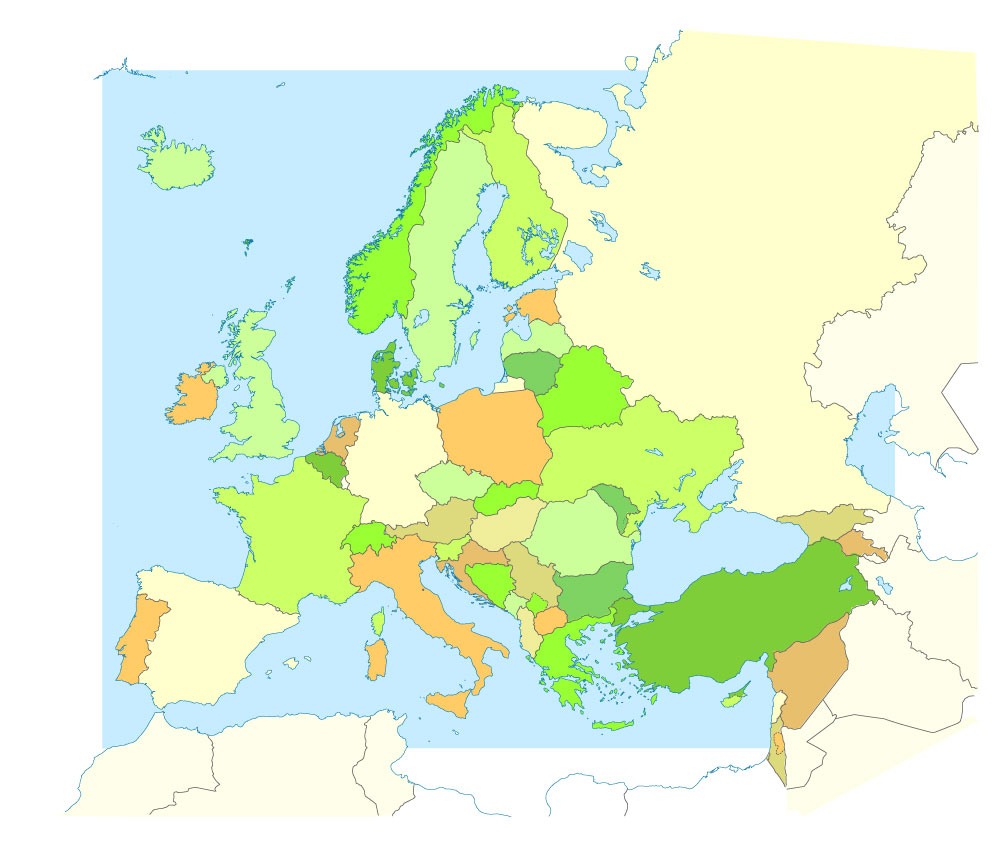
Free download printable map Europe vector Adobe Illustrator >>>
Free download printable PDF map Europe vector Adobe PDF >>>
 If you have any questions, please, feel free
 We accept PayPal and all Debit or Credit Cards | Instantly Download Your Map after payment.
 Author: Kirill Shrayber, Ph.D.