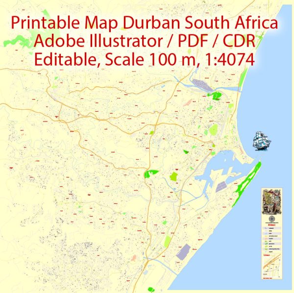
General description of the transport system in Durban, South Africa.
1. Road Transportation:
- Road Network: Durban has an extensive road network that includes highways, major arterial roads, and local streets. The N2 and N3 highways connect Durban to other major cities in South Africa.
- Public Transport: Durban has a public bus system operated by Durban Transport, which is known for its iconic “People Mover” buses. The city also has a network of minibus taxis that serve as an essential mode of public transportation.
2. Rail Transportation:
- Metrorail: The Metrorail network serves Durban and its surrounding areas, providing a commuter rail service. It is a cost-effective way for people to travel within the city.
3. Port and Maritime Transportation:
- Durban Harbor: Durban is home to one of the busiest ports in Africa, the Durban Harbor. This major seaport handles a significant portion of South Africa’s imports and exports, making it a crucial transportation hub for cargo and maritime activities.
4. Aviation:
- King Shaka International Airport: Located about 35 kilometers north of Durban’s city center, King Shaka International Airport is the primary airport serving Durban and the surrounding region. It offers both domestic and international flights, connecting the city to various destinations worldwide.
5. Public Transport Initiatives:
- Bus Rapid Transit (BRT): Durban has implemented a BRT system known as the “Durban Transport BRT” to improve public transportation within the city. The system includes dedicated bus lanes and modern stations.
- People Mover: The People Mover buses are a unique feature of Durban’s public transportation, offering a convenient way for residents and tourists to get around the city’s key attractions.
6. Taxis:
- Minibus Taxis: Minibus taxis are a common mode of transportation in Durban. These informal, privately owned vehicles provide a flexible means of getting around, but their safety and reliability can vary.
For the most up-to-date information on Durban’s transportation system, it’s advisable to check with local transportation authorities or resources.


 Author: Kirill Shrayber, Ph.D.