Extended Description of the Vector Map
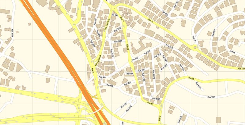
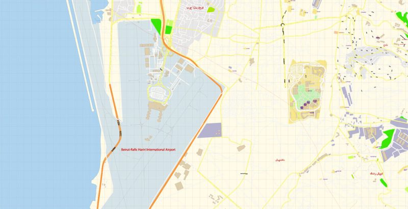
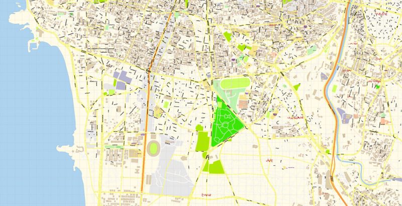
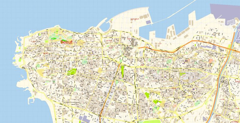
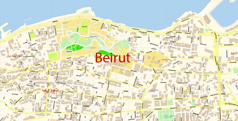
Printable Vector Map of Beirut Lebanon extra detailed City Plan scale 100 m 1:3900 full editable Adobe Illustrator Street Map in layers, scalable, text format all names, 10 MB ZIP
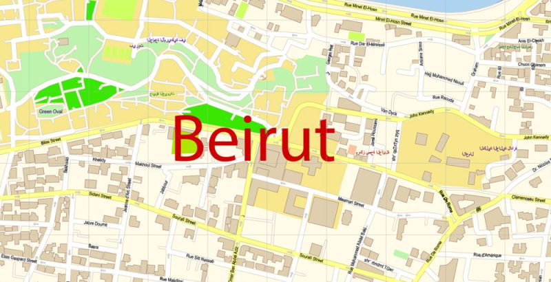
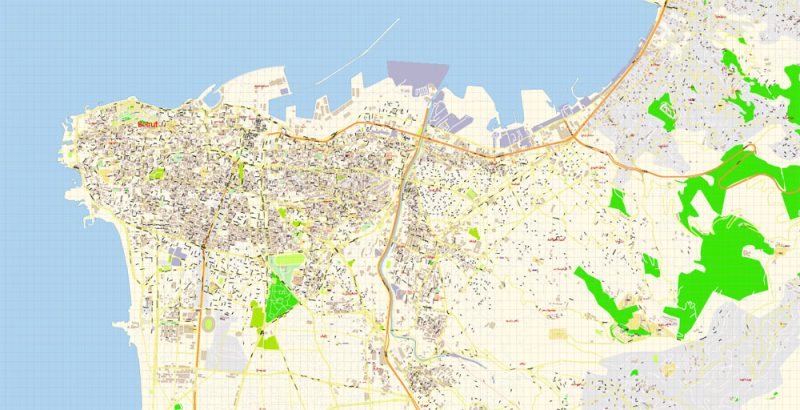
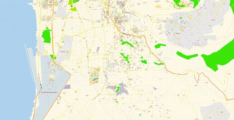
All street names, Main Objects, Buildings. Map for design, printing, arts, projects, presentations, for architects, designers, and builders, business, logistics.
Layers: color_fills, water, streets_roads, labels_roads, names_objects, names_streets, names_places, arrows_streets, buildings, grids, legend, etc.
The most exact and detailed map of the city in scale.
For Editing and High-Quality Printing
Beirut
Capital of Lebanon
Beirut is the capital and largest city of Lebanon. No recent population census has been conducted, but 2007 estimates ranged from slightly more than 1 million to 2.2 million as part of Greater Beirut.
Area: 85 km²
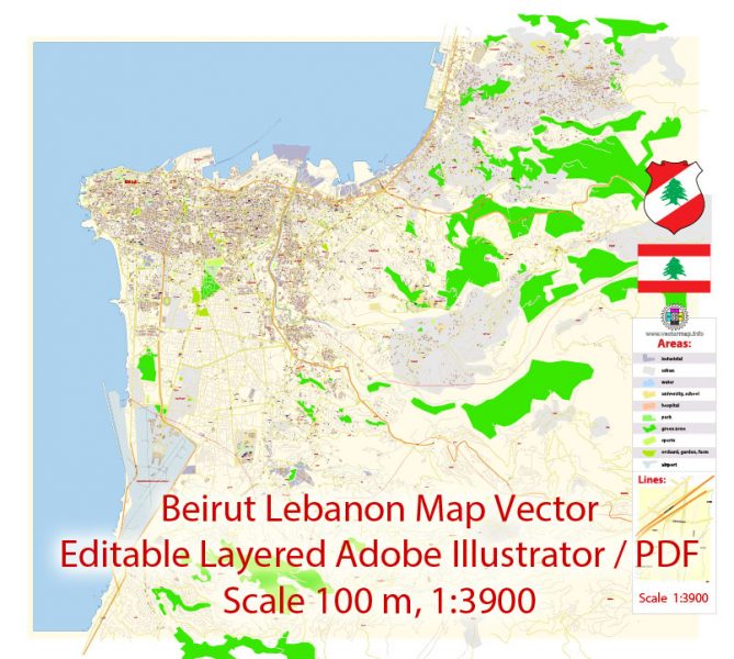
Beirut Lebanon Map Vector Exact City Plan detailed Street Map editable Adobe Illustrator in layers
Beirut Lebanon Map Vector Exact City Plan detailed Street Map editable Adobe Illustrator in layers
Beirut Lebanon Map Vector Exact City Plan detailed Street Map editable Adobe Illustrator in layers
Beirut Lebanon Map Vector Exact City Plan detailed Street Map editable Adobe Illustrator in layers
Beirut Lebanon Map Vector Exact City Plan detailed Street Map editable Adobe Illustrator in layers
Beirut Lebanon Map Vector Exact City Plan detailed Street Map editable Adobe Illustrator in layers
Beirut Lebanon Map Vector Exact City Plan detailed Street Map editable Adobe Illustrator in layers
Beirut Lebanon Map Vector Exact City Plan detailed Street Map editable Adobe Illustrator in layers
Beirut Lebanon Map Vector Exact City Plan detailed Street Map editable Adobe Illustrator in layers
Author Rating
Aggregate Rating
no rating based on 0 votes
@vectormapper
Product Name Beirut Lebanon Map Vector Exact City Plan detailed Street Map editable Adobe Illustrator in layers
Price
USD 43
Product Availability
Available in Stock


 Author: Kirill Shrayber, Ph.D. FRGS
