Urban plan Quebec City Canada 13 PDF: Fully Editable Layered City Map

Gallery of Images "Urban plan Quebec City Canada 13 PDF":
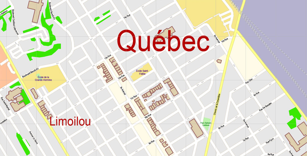
Urban plan Quebec City Canada 13 PDF
Quebec City
Americans and Canadians call this city "Europe in America" because nowhere else in Canada and the USA has a real medieval European city with a fortress, cathedrals, narrow cobbled streets, and, most importantly, the flavor and spirit of Europe been preserved so perfectly.
At the same time, it is very important to emphasize that for tourists spoiled by real Europe, Quebec City will seem pretty, but quite banal. There are dozens of similar cities in France, and fortresses and castles are exotic only for North America. But it's still worth going to Quebec City, even if you've traveled the length and breadth of Europe. Yet the province of Quebec and its main city, in particular, are very different from France as such. French colonists, who first arrived in these harsh northern lands in the XVI century, tried to recreate their usual provincial Europe in the middle of the taiga and surrounded by Indians.
An interesting nuance: those French-speaking Quebecers who live in Canada, for the most part, have nothing in common with France except the language, they are only very distant descendants of those Frenchmen who arrived in Canada 400-500 years ago.
In Quebec City ("kebek" in one of the Indian dialects means "the place where the waters narrow") - the capital of the province of Quebec (and once the whole of Canada), the only city fortress wall in North America, the citadel known as "American Gibraltar", as well as a whole area of medieval development - the Latin Quarter (recognized as a UNESCO World Heritage Site) with Catholic cathedrals, Jesuit and Franciscan monasteries, parliament (XIX century), Artillery Park, etc. Now on the narrow streets, usually filled with tourists, there are numerous shops, shops, restaurants, and bars.

Located on a cliff, with its steep and narrow streets, old Quebec City is also famous for its old buildings, among which the Church of Notre-Dame de Victoire (1688), the Anglican Cathedral of St. Trinity Cathedral (1793), Notre-Dame de Quebec Cathedral (1650), Frontenac Castle on Cape Diamant, the National Assembly building, an old village restored to its original form in the Petit Champlain quarter, huge shopping malls on Laurier Boulevard, numerous terraces of cafes and restaurants on Grand Alley and Terrace Dufresne, the oldest lift in North America connecting the Upper and Lower City, the oldest square in North America - The Royal, on which there are several museums, the Ursuline Museum (XVII-XIX centuries) and the Museum of St. Mary on Rue Donnacona, the Fort Museum, the Wax Museum on Rue Saint-Anne, the Chevalier House mansion (XVIII century), the Quebec Seminary Museum, the Battle Park, the Quebec Museum at the monument to the English General Wolf, the picturesque streets of Saint-Paul, Magire and Tresor, the art galleries of Le Trois-Colombier and Gallery d'Art- le Portal, etc.

No less interesting is the city Aquarium on the banks of the St. Lawrence River, the Zoo, a huge skating rink on Duville Square, the "Indian village" of Onohua Shetek, Jacques Cartier Park, as well as the suburban parks "Chute Montmorency" with a huge (above Niagara) waterfall of the same name and "Chute de la Chaudieu" with an equally remarkable waterfall 120 m high.
Province of Quebec
Quebec is a French-speaking province of Canada. Quebec is the largest province in Canada by area (excluding Territory). The capital of the province of Quebec is the eponymous city of Quebec City, which serves as the administrative center and in which the Quebec Parliament is located. The largest city in the province of Quebec is Montreal, which is also the economic center of this province.
Quebec is located in the eastern part of Canada, its territory occupies 16.7% of the entire territory of Canada. The eastern part of the province is crossed by the St. Lawrence River flowing from the Great Lakes and flows into the Atlantic Ocean.
The population of Quebec is about 8 million people, the second-most populous province after Ontario. The official language in Quebec is French.
Unlike other provinces and territories of Canada, Quebec has broader and autonomous powers in dealing with internal issues as well as in some external ones, such as immigration and the issuance of work and student visas.

Gallery of Images "Urban plan Quebec City Canada 13 PDF":
Quebec City Canada Urban Planning: Editable Vector Maps in Adobe Illustrator, AutoCAD


Quebec City Canada Fully Editable Maps in layers


Quebec Canada Digital Cartography for Logistics and Transportation


- Urban plan Severna Park Annapolis Maryland
- Urban plan Manchester New Hampshire
- Urban plan Kiev Metro CDR
- Urban plan Trenton New Jersey CDR
- Urban plan Texas Counties
- Urban plan Cambridge UK
- Urban plan Bergen Norway ai
- Urban plan Randolph county North Carolina
- Urban plan Perth Australia AI v309
- Urban plan Bratislava metro Slovakia
- Urban plan Stockholm Sweden
- Urban plan Stuttgart Germany
- Urban plan Thailand Admin Roads
- Urban plan Batumi Georgia
- Urban plan Osaka Japan 16 ai
- Urban plan Charleroi Belgium pdf
- Urban plan Cape Canaveral Florida
- Urban plan Buffalo New York ai
- Urban plan Charleston West Virginia PDF
- Urban plan Reno Nevada PDF
- Urban plan Edmonton Canada
- Urban plan Moscow
- Urban plan Eilat Israel Aqaba Jordan
- Urban plan Daytona Beach
- Urban plan UK Great Britain Admin PDF
- Urban plan World Political PDF
- Urban plan Tampere Finland PDF
- Urban plan Onancock Virginia
- Urban plan Lagos Nigeria
- Urban plan Madison Wisconsin
- Urban plan Austria Admin
- Urban plan Fargo North Dakota
- Urban plan Cleveland Ohio PDF
- Urban plan Buffalo Niagara Falls StCatharines
- Urban plan Yaroslavl pdf
- Urban plan Madrid Spain
- Urban plan Omsk
- Urban plan Islamabad Rawalpindi PDF
- Urban plan Santiago Chile
- Urban plan Antwerpen Belgium PDF
- Urban plan Oakland Berkeley California ai
- Urban plan Amsterdam Netherlands AI
- Urban plan Pyrenees Relief Roads PDF
- Urban plan Belgium Administrative PDF
- Urban plan Cologne Koln Germany
- Urban plan Cincinnati Ohio pdf
- Urban plan Waterford Ireland pdf
- Urban plan Savannah Chatham County Georgia
- Urban plan UK Admin
- Urban plan Santiago Chile PDF
- Urban plan Essen Germany PDF
- Urban plan Banyuwangi
- Urban plan Barnstable Massachusetts AI
- Urban plan Alameda Oakland California
- Urban plan Lawrence Kansas 3 10
- Urban plan Namur Belgium ai
- Urban plan Novgorod PDF Russia
- Urban plan Heathrow Feltham Hounslow AI
- Urban plan Kyoto Japan 13 ai
- Urban plan Raleigh North Carolina ai
- Urban plan Aarhus Denmark pdf
- Urban plan Albuquerque Rio Rancho New Mexico
- Urban plan Topo Dominicana
- Urban plan Paris Center France
- Urban plan Santo Domingo Republica Dominicana PDF
- Urban plan Indianapolis PDF
- Urban plan Bremen Germany 4 pdf
- Urban plan Copenhagen Kobenhavn Denmark low
- Urban plan Denver Colorado
- Urban plan Wollongong Australia PDF
- Urban plan Cleveland Ohio 25
- Urban plan Louisiana Museum Denmark PDF
- Urban plan Tehran Iran PDF
- Urban plan Pittsburgh Pennsylvania
- Urban plan Christchurch New Zealand
- Urban plan Kemerovo Russia
- Urban plan Istanbul Turkey
- Urban plan Rouen France
- Urban plan Pittsburgh Pennsylvania PDF
- Urban plan Bruges Brugge Belgium pdf
- Urban plan Barnaul
- Urban plan Relief US flat CDR
- Urban plan Salt Lake City Metro PDF
- Urban plan Saint Louis Missouri 4 10 AI
- Urban plan Poznan Poland pdf
- Urban plan Columbus Ohio
- Urban plan Chicago Illinois CDR
- Urban plan Murmansk PDF Russia
- Urban plan Valencia Spain
- Urban plan Evansville 75 Indiana
- Urban plan Cleveland Ohio
- Urban plan Brasov Romania
- Urban plan Dominican Republic Detailed a3
- Urban plan Bordeaux France
- Urban plan Khabarovsk PDF Russia
- Urban plan Liege Belgium PDF 13
- Urban plan Burlington Vermont