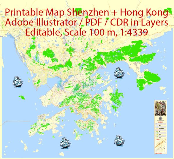
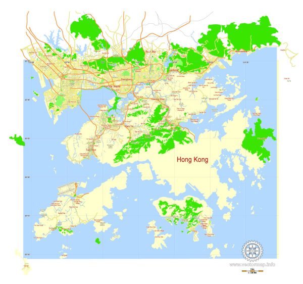
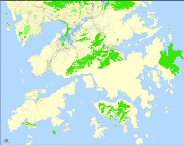
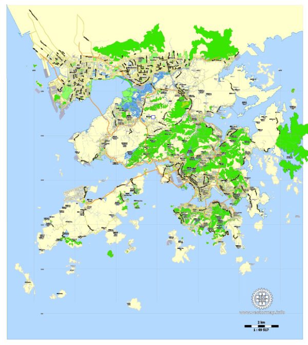
Standard City Plan: Easy to edit and print, usually includes the specific city and suburbs. Most City Plan vector maps are provided in full version – containing highways, streets, city parks, rivers, lakes, and other important objects. All types of objects have unique universal parameters – large streets are displayed with one type of lines, small streets – with other type, highways – the third type, etc., that makes possible mass editing of all objects of the same type. All street and objects names use text format, and are fully editable.
Search results for “Hong Kong”
Here you will find all maps for your project in one place.
This graphic files are usually separated into layers – color fills, streets and roads, arrows of street directions, road labels, objects, street names, object names, places names (such as city and town, suburb, borough, district etc.), grids, scales and map legend. All names are in the text format. Please, see the preview gallery of each map and carefully read the descriptions.


