Extended Description of the Vector Map
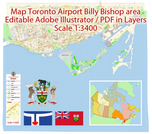
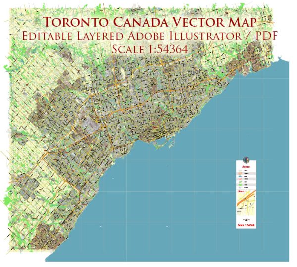
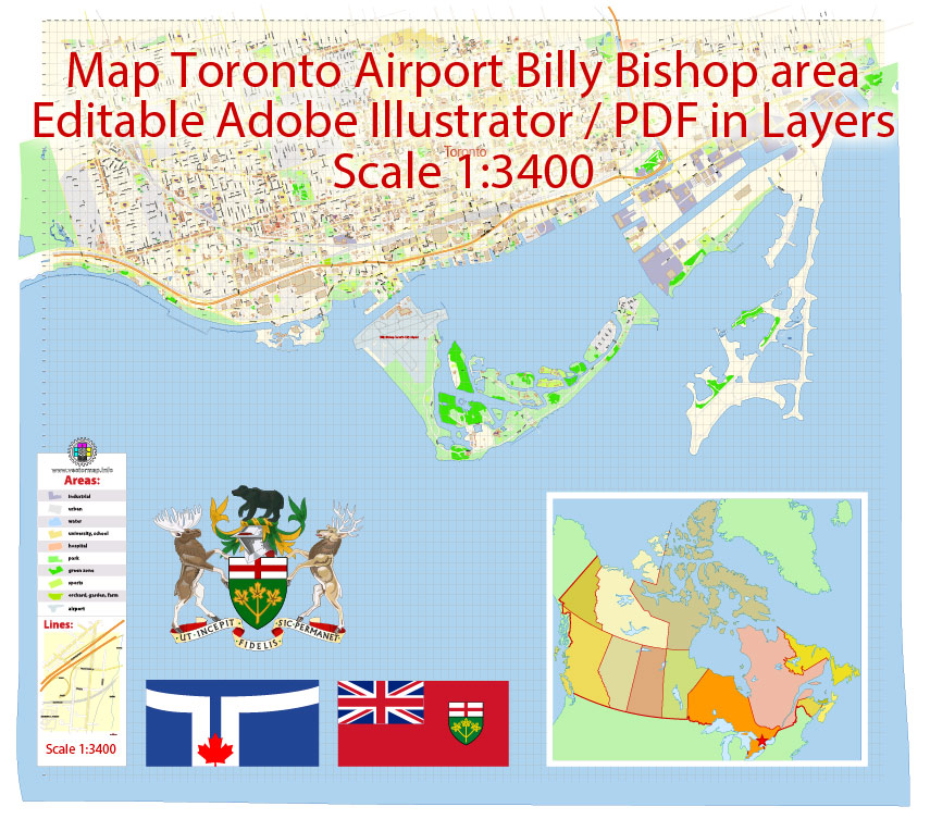
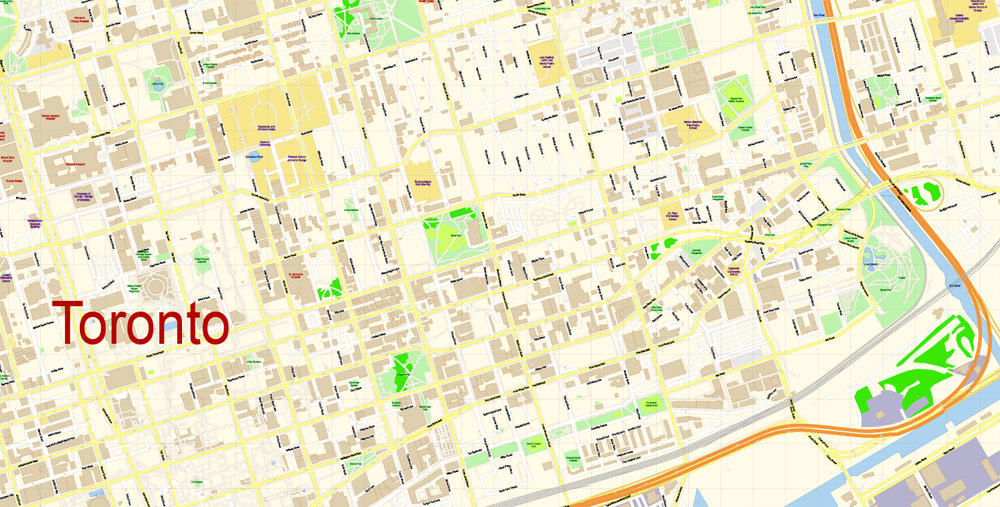
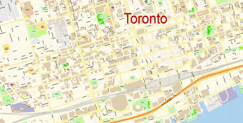
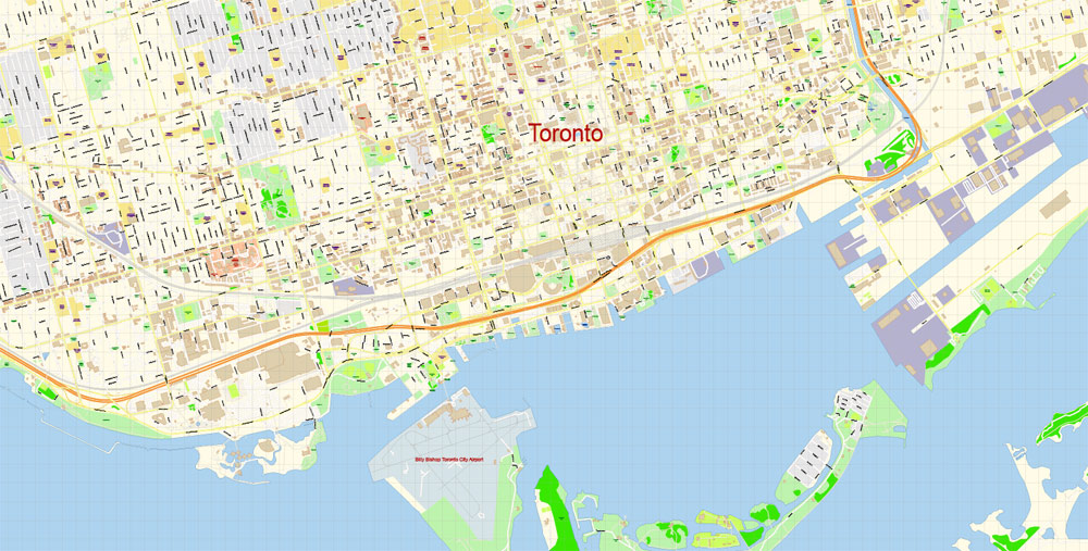
Toronto Billy Bishop City Airport Area Vector Map exact printable City Plan editable layered Adobe Illustrator scale 1:3400 Street Map, scalable, text format all names, 3 Mb ZIP.
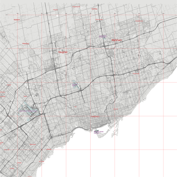
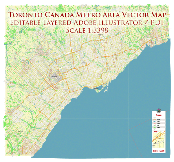
All streets names, buildings, main objects. Map for publishing, design, printing, publications, arts, projects, presentations, for architects, designers and builders, business, logistics. The most exact and detailed map of the city.
Separated layers: streets and roads, color fills, objects, road labels, street arrows, water, buildings, names, grids, legend etc.
For editing and high quality printing
DWG, DXF, CDR and other formats – by request, same price, please contact.
Here is a small guide to mass edit objects og one type https://vectormap.net/about/faqs/
Billy Bishop Toronto City Airport (IATA: YTZ, ICAO: CYTZ) is a small regional airport located on the Toronto Islands in Toronto, Ontario, Canada. The airport is often referred to as the Toronto Island Airport and was previously known as Port George VI Island Airport and Toronto City Centre Airport; the latter is still found on legacy signs near the airport. The airport’s name honours Billy Bishop, the Canadian World War I flying ace and Victoria Cross recipient and World War II Air Marshal. It is used by civil aviation, air ambulances, and regional airlines using turboprop planes. In 2016, it was ranked Canada’s ninth-busiest airport and Ontario’s third-busiest airport by passenger numbers and the sixth-busiest Canadian airport that serves the U.S.
Conceived in the 1930s as the main airport for Toronto, the construction of the airport was completed in 1939 by the Toronto Harbour Commission (THC). At the same time, the THC built Malton Airport as an alternate, but nearby Malton (today Toronto Pearson International Airport) became Toronto’s main passenger airline hub instead, leaving the island airport for general aviation and military purposes. During the 1940s and 1950s, several political leaders proposed an expansion of the island airport to enable scheduled passenger airlines and reduce the annual operating costs. Malton was sold in 1962 to the Government of Canada in exchange for an expansion and improvements to the island airport. After the expansion, civil flights increased to a peak of over 200,000 annual flights in the 1960s. Although regional airlines were introduced in the 1970s, the annual number of flights went into decline and closure was discussed. In 1983, a 50-year tripartite agreement between the governments of Canada, City of Toronto and the Harbour Commission, which limited noise and banned jet use for scheduled airlines, allowed airport operations to continue. In the 1990s, in an era of government cost-cutting, questions about the airport’s future were raised again due to its annual deficit. At the same time, redevelopment was taking over north of the airport and several studies suggested that the airport was incompatible with development.
In 1999, the new Toronto Port Authority (TPA) (renamed in 2015 as “PortsToronto”) replaced the THC. The TPA’s mandate was to make the port and airport self-sufficient and it determined that the airport needed to expand to end the annual subsidy. Although an expansion of the airport was and is politically controversial, the TPA has worked with new regional airline Porter Airlines since 2003 to increase scheduled carrier flights. Under the new financial model, carriers pay landing fees and departing passengers pay airport improvement fees to the TPA. Porter launched in 2006 and passenger volumes increased to the point that airport operations became self-sufficient by 2010. In 2010, Porter opened a new terminal. In 2015, the airport opened a pedestrian tunnel to the airport, after a previous plan to build a bridge was cancelled.
In 2013, Porter proposed expanding the airport further and modifying the operating agreement to allow it to use Bombardier CS100 jet planes at the airport. The proposal, estimated to cost CA$1 billion in public expenditure, went to Ports Toronto for further study. In November 2015, after the 2015 Canadian federal election, the new government announced that it would not re-open the tripartite agreement to allow jets. Ports Toronto subsequently cancelled the expansion proposal studies.
Free vector map World, Adobe Illustrator, download now maps vector clipart
Map for design, projects, presentation free to use as you like.
See also: TERMS & CONDITIONS: SOFTWARE LICENSE AGREEMENT FOR DIGITAL CARTOGRAPHIC DATA
Author Rating
Aggregate Rating
no rating based on 0 votes
@vectormapper
Product Name Toronto Billy Bishop City Airport Area Map Vector Canada Extra Detailed Plan Adobe Illustrator Street Map in Layers
Price
USD 23
Product Availability
Available in Stock






 Author: Kirill Shrayber, Ph.D. FRGS