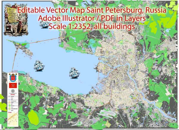
Extended Description of the Vector Map
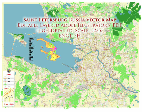
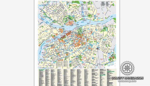
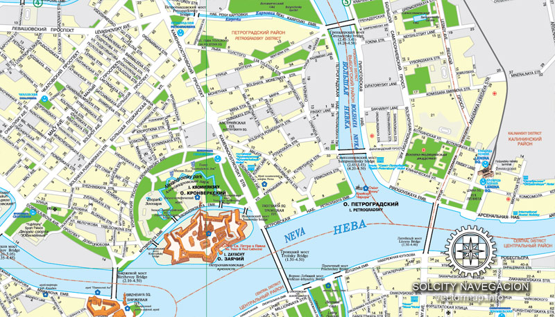
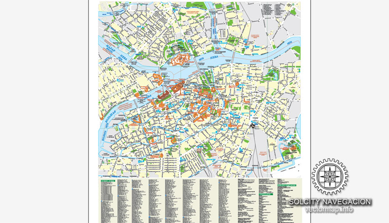
About Saint-Petersburg Schema-1 Russia, Europe vector map in Adobe Illustrator *.AI
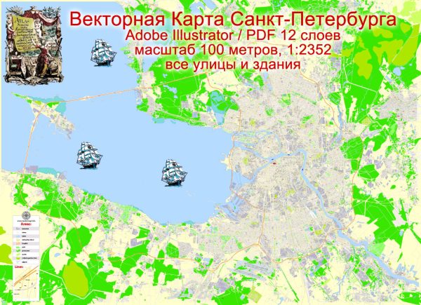
Векторная карта Санкт-Петербурга для печати на 1 листе формата А-1 % А-0, все улицы, Идеально для рекламной, туристической, городской полиграфии.
Без отдельных схем развязок, надписи по изгибам улиц.
Saint-Petersburg Schema-1 vectorial map archive size: 32.9 Mb
License: Royalty Free, copying/editing/printing with no extra fee. No need to pay for each use or per volume sold.
Saint-Petersburg vector
DPI: 300 (can be adjusted to any size needed: walls, billboard)
Best for art projects, presentations or posters.
This layered map of Saint-Petersburg is fully compatible with all vector formats: Freehand, Corel Draw, AutoCad and other.
Our Saint-Petersburg vectorial map features:
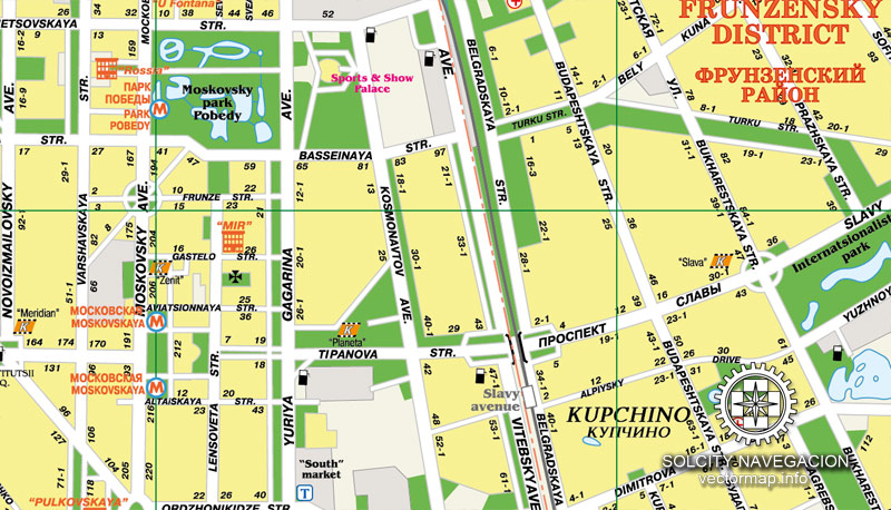
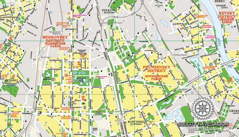
Highways with names,
Major streets with names,
Major Roads,
Railway lines with stops,
Minor Roads,
Private Roads,
Cemeteries,
Big and small Rivers, small streams also,
Recreation zones,
Parks.
Please contact our team if need more data/POIs, or something special.
Vector map of Saint-Petersburg to print on 1 sheet format A-1 % A-0, all the streets, Ideal for advertising, tourism, urban printing.
No separate circuits junctions, signs of the bends streets.
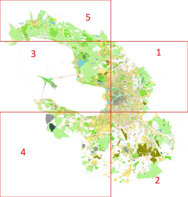
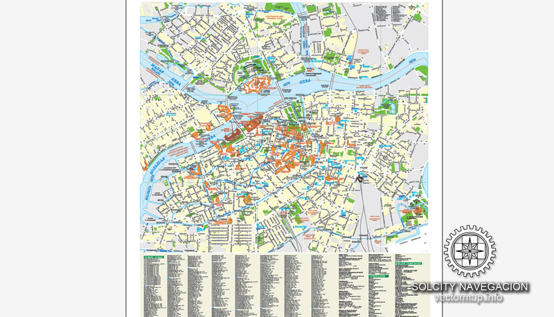
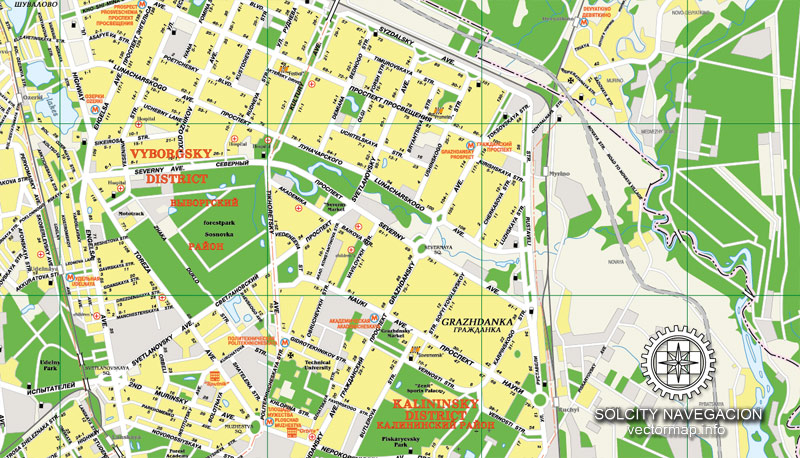
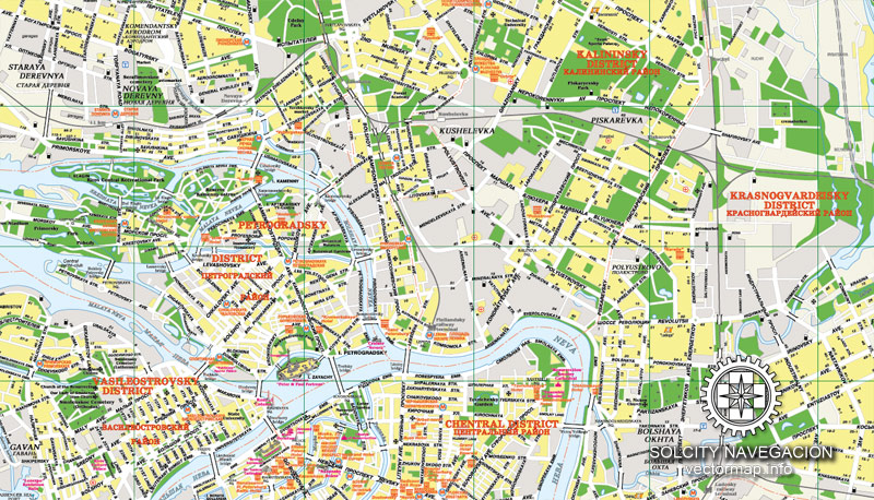
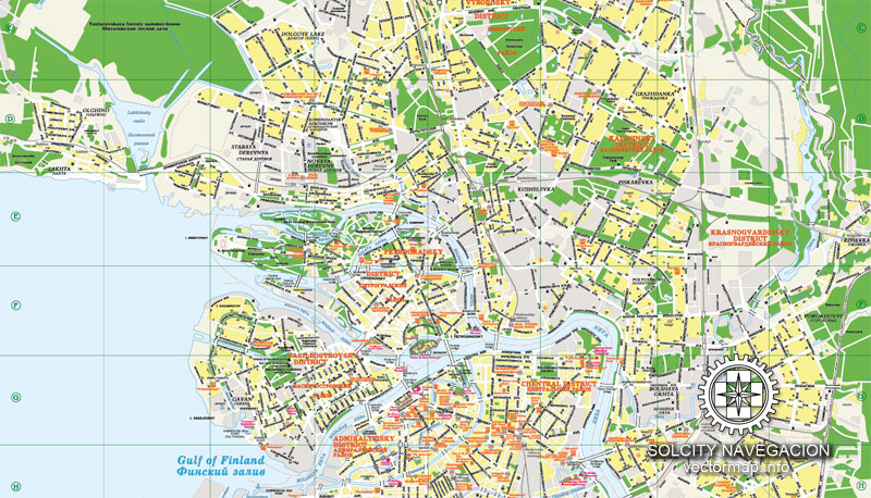
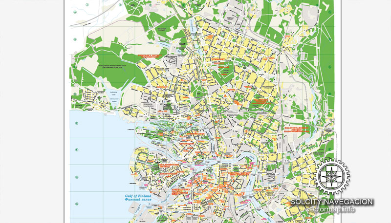
Our AI vector map of includes maps of the nearest areas (see the preview):
Purchasing and downloading of Adobe Illustrator Saint-Petersburg vectorial map
We accept PayPal and Credit Card payment.
VectorMap. Providing high quality vector maps at the lowest price of the market. Enjoy!
Small guide: How to work with the vector map?
You can: Mass select objects by type and color – for example, the objects type “building” (they are usually dark gray) – and remove them from the map, if you do not need them in your print or design project. You can also easily change the thickness of lines (streets), just bulk selection the road by the line color.
The streets are separated by type, for example, type “residential road” are usually white with a gray stroke. Highway usually orange with a brown or dark gray stroke.
All objects are divided by types: different types of roads and streets, polygons of buildings, landfills, urban areas, parks and more other.
It is easy to change the font of inscriptions, all or each individually. Also, just can be make and any other manipulation of objects on the vector map in Adobe illustrator format.
Important: All the proportions on the map are true, that is, the relative sizes of the objects are true, because Map is based on an accurate GPS projection, and It transated into the (usual for all) the Mercator projection.
You can easily change the color, stroke and fill of any object on the map, zoom without loss of quality Image Verification.
Author Rating
Aggregate Rating
5 based on 1 votes
@vectormapper
Product Name Saint Petersburg Map Vector City Plan Russia, printable Street Map editable Adobe Illustrator Schema-1
Price
USD 63
Product Availability
Available in Stock



 Author: Kirill Shrayber, Ph.D. FRGS