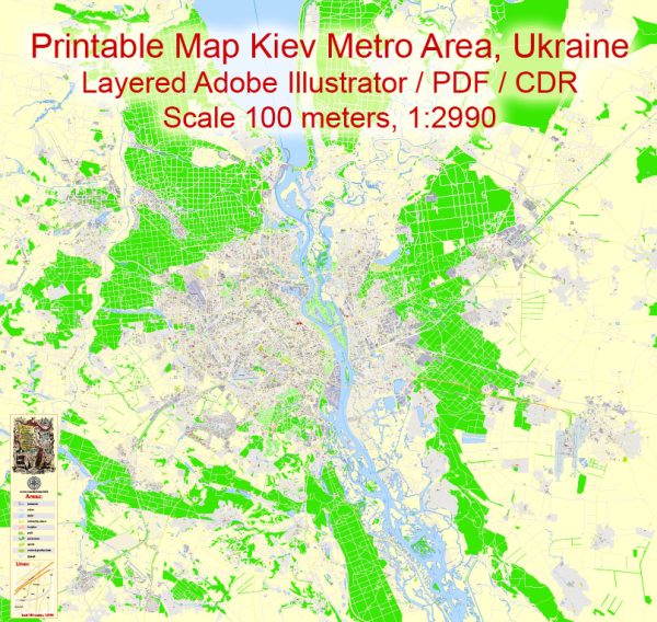
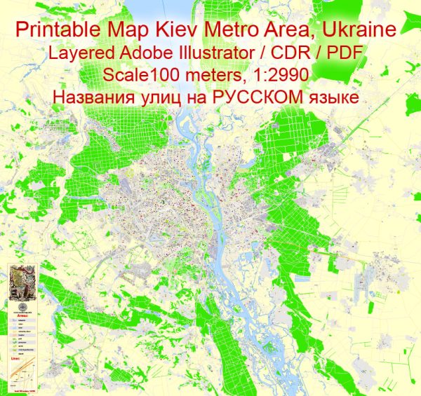
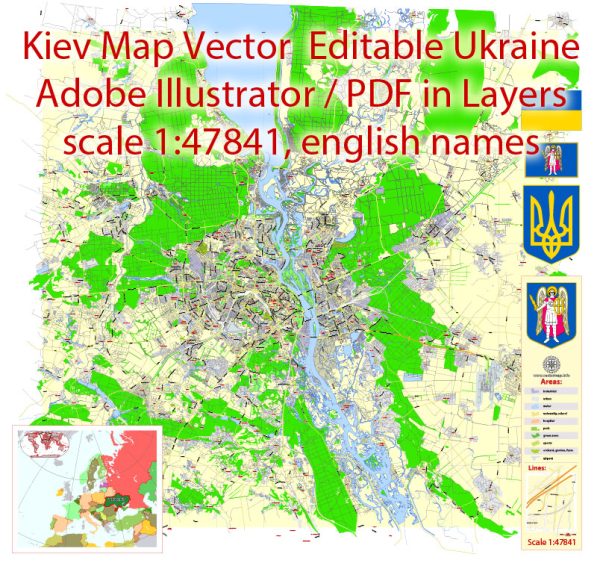
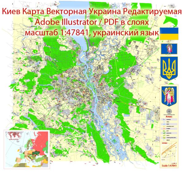
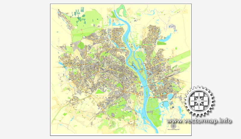
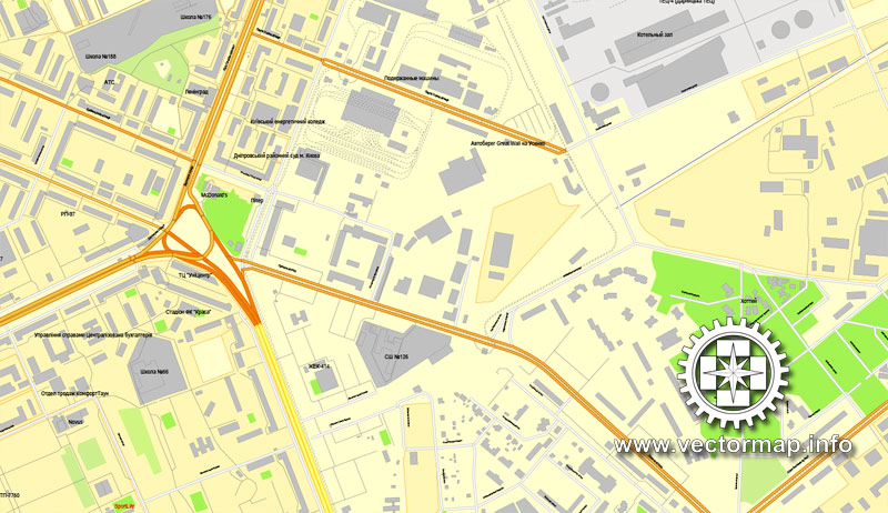
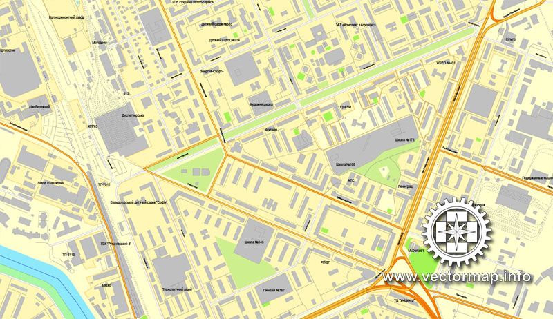
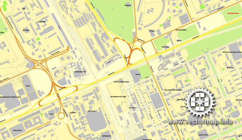
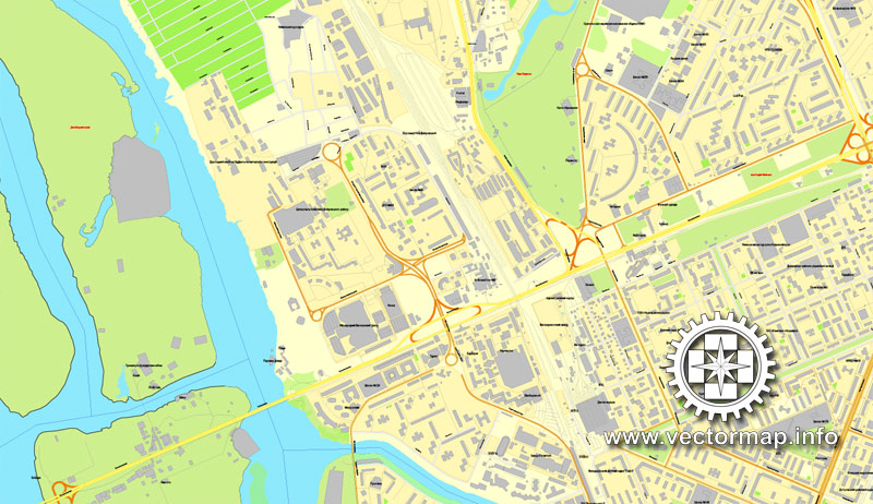
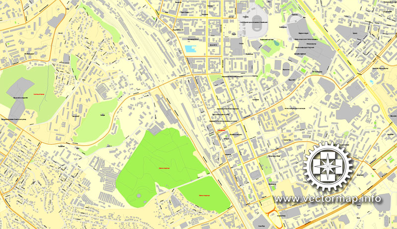
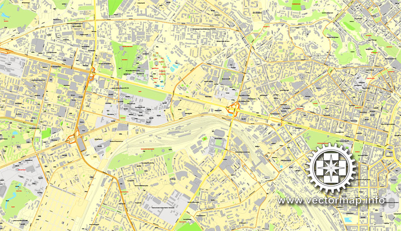
Kiev, Ukraine, printable vector street City Plan map, full editable, Adobe PDF, full vector, scalable, editable, text format street names, 57 mb ZIP
All streets, All buildings. Map for design, print, arts, projects, presentations,
for architects, designers and builders.
You can edit this file by Adobe Illustrator, Adobe Acrobat, Corel Draw.
DXF, DWG, CDR and other formats – on request, same price, please, contact
You can get this map free of charge – only for 5 permanent links on your websites or blogs Vector maps of all cities and countries – just email us.
Киев, Украина, векторная карта в формате Adobe PDF, полностью редактируемая, имена улиц и объектов в текстовом формате, 57 мегабайт в зип архиве
Карта предназначена для дизайна, презентаций, полиграфии, рекламы, для строителей, архитекторов и проектировщиков.
Проекция Меркатор. Другие проекции – на заказ, та же цена.
DXF, DWG, CDR и другие форматы – на заказ, та же цена, contact
Вы можете получить эту карту бесплатно – всего лишь за 5 постоянных ссылок на ваших сайтах или блогах Vector maps of all cities and countries – просто напишите нам.
Kiev
Capital of Ukraine
Kiev is the capital city of Ukraine, bisected by the Dnieper River and known for its religious architecture, secular monuments and history museums. The 11th-century Kiev Pechersk Lavra is a monastery and pilgrimage site encompassing several gold-domed churches. It’s known for its catacombs lined with the burial chambers of Orthodox monks, and a collection of gold objects from ancient Scythian times.
Area: 839 km²
Population: 2.804 million
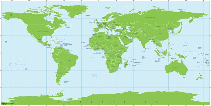
Free vector map World Mercator 2, Adobe Illustrator, download now maps vector clipart Map for design, projects, presentation free to use as you like. World map vector, Vector world map, World vector map, Map western europe, West europe maps, Map of the world modifiable, High resolution world map, World map illustrator, World map PDF editable, World vector map download,
Free vector map World Mercator 2, Adobe Illustrator, download now maps vector clipart
Map for design, projects, presentation free to use as you like.
Free World Map Vector Collection >>>>>
Kiev
Capital of Ukraine
Kiev is the capital city of Ukraine, bisected by the Dnieper River and known for its religious architecture, secular monuments and history museums. The 11th-century Kiev Pechersk Lavra is a monastery and pilgrimage site encompassing several gold-domed churches. It’s known for its catacombs lined with the burial chambers of Orthodox monks, and a collection of gold objects from ancient Scythian times.
Area: 839 km²
Elevation: 179 m
Population: 2.804 million (2013) UNdata
Colleges and Universities: Kyiv Polytechnic Institute, …
Kiev is the capital and largest city of Ukraine, located in the north central part of the country on the Dnieper River. The population in July 2013 was 2,847,200 (though higher estimated numbers have been cited in the press), making Kiev the 8th most populous city in Europe.
Kiev is an important industrial, scientific, educational, and cultural centre of Eastern Europe. It is home to many high-tech industries, higher education institutions and world-famous historical landmarks. The city has an extensive infrastructure and highly developed system of public transport, including the Kiev Metro.
The city’s name is said to derive from the name of Kyi, one of its four legendary founders (see Name, below). During its history, Kiev, one of the oldest cities in Eastern Europe, passed through several stages of great prominence and relative obscurity. The city probably existed as a commercial centre as early as the 5th century. A Slavic settlement on the great trade route between Scandinavia and Constantinople, Kiev was a tributary of the Khazars, until seized by the Varangians (Vikings) in the mid-9th century. Under Varangian rule, the city became a capital of the Kievan Rus’, the first East Slavic state. Completely destroyed during the Mongol invasion in 1240, the city lost most of its influence for the centuries to come. It was a provincial capital of marginal importance in the outskirts of the territories controlled by its powerful neighbours; first the Grand Duchy of Lithuania, followed by Poland and Russia.
The city prospered again during the Russian Empire’s Industrial Revolution in the late 19th century. In 1917, after the Ukrainian National Republic declared independence from the Russian Empire, Kiev became its capital. From 1919 Kiev was an important center of the Armed Forces of South Russia and was controlled by the White Army. From 1921 onwards Kiev was a city of the Ukrainian Soviet Socialist Republic, which was proclaimed by the Red Army, and, from 1934, Kiev was its capital. During World War II, the city again suffered significant damage, but quickly recovered in the post-war years, remaining the third largest city of the Soviet Union.
Following the collapse of the Soviet Union and Ukrainian independence in 1991, Kiev remained the capital of Ukraine and experienced a steady migration influx of ethnic Ukrainians from other regions of the country. During the country’s transformation to a market economy and electoral democracy, Kiev has continued to be Ukraine’s largest and richest city. Kiev’s armament-dependent industrial output fell after the Soviet collapse, adversely affecting science and technology. But new sectors of the economy such as services and finance facilitated Kiev’s growth in salaries and investment, as well as providing continuous funding for the development of housing and urban infrastructure. Kiev emerged as the most pro-Western region of Ukraine where parties advocating tighter integration with the European Union dominate during elections.
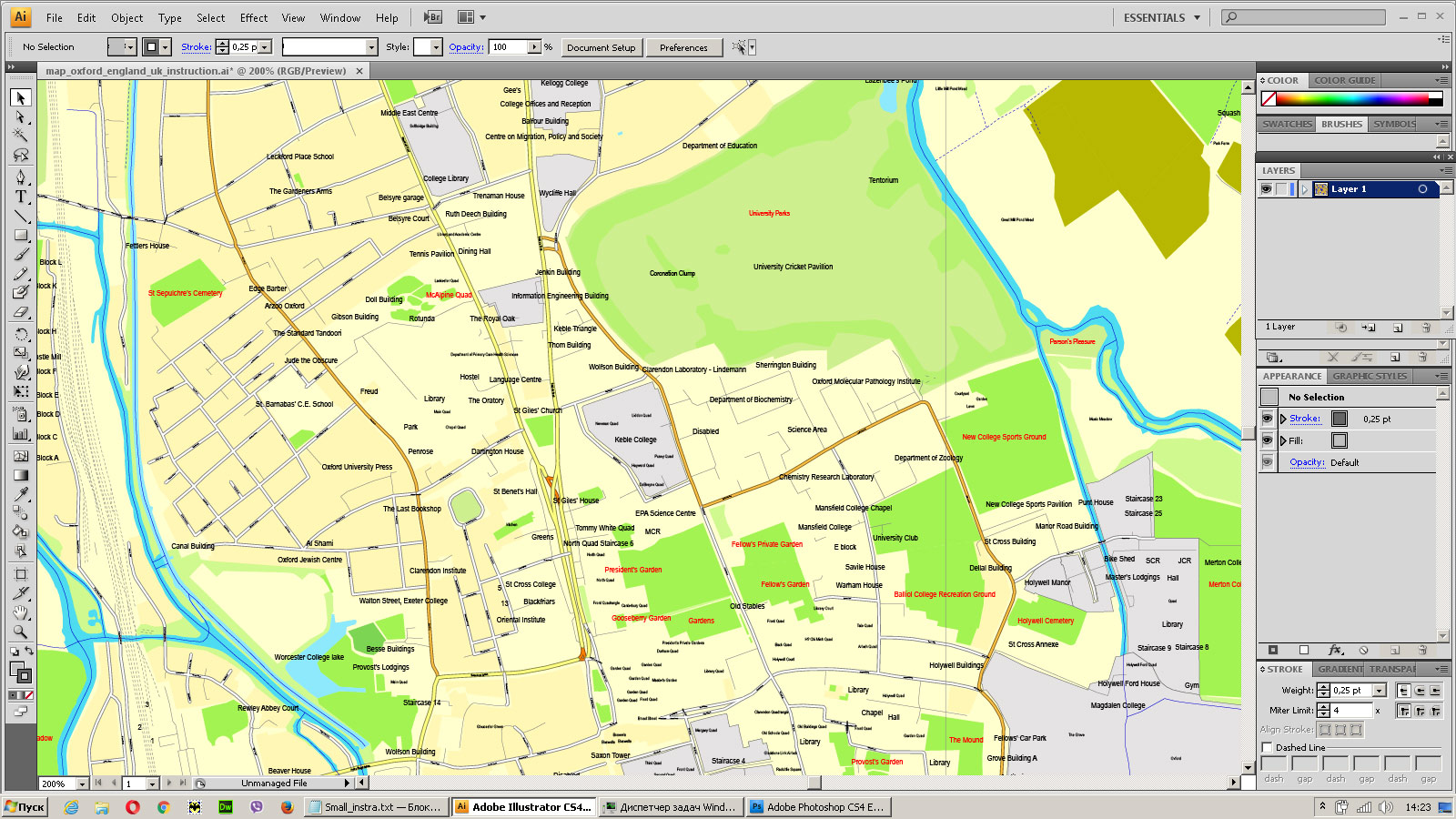
Small guide: How to work with the vector map?
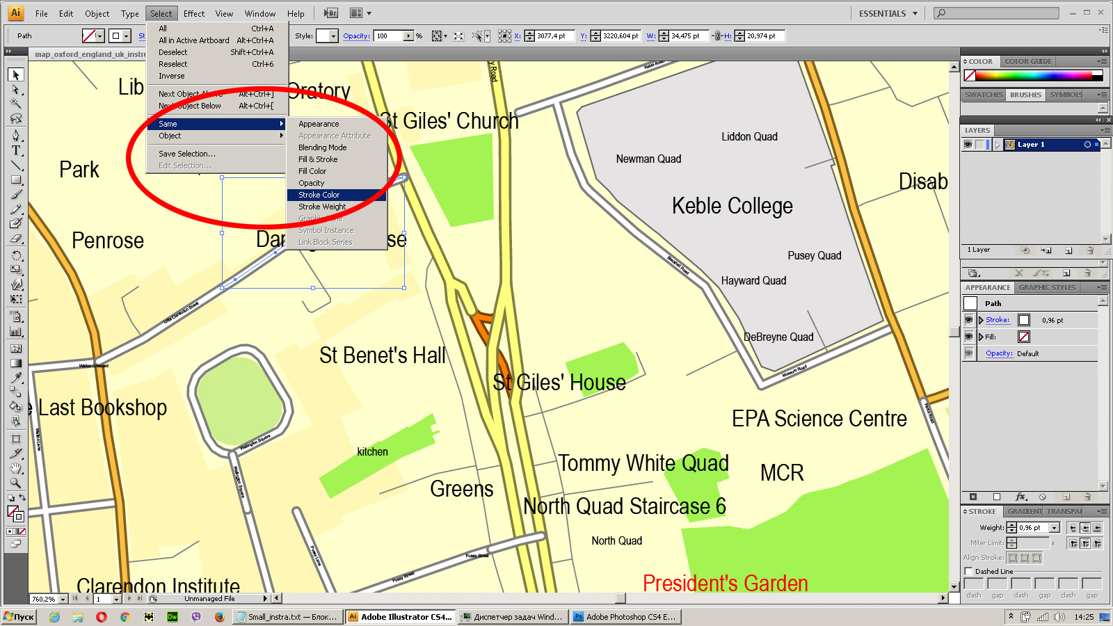
You can: Mass select objects by type and color – for example, the objects type “building” (they are usually dark gray) – and remove them from the map, if you do not need them in your print or design project. You can also easily change the thickness of lines (streets), just bulk selection the road by the line color.
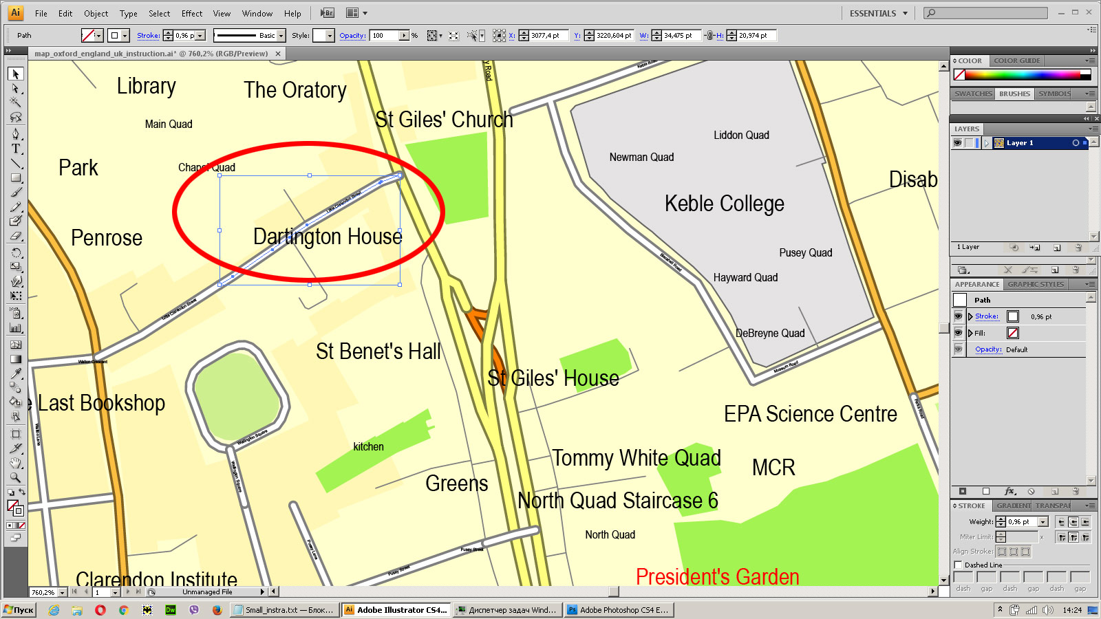
The streets are separated by type, for example, type “residential road” are usually white with a gray stroke. Highway usually orange with a brown or dark gray stroke.
It is easy to change the font of inscriptions, all or each individually. Also, just can be make and any other manipulation of objects on the vector map in Adobe illustrator format.
Important: All the proportions on the map are true, that is, the relative sizes of the objects are true, because Map is based on an accurate GPS projection, and It transated into the (usual for all) the Mercator projection.
You can easily change the color, stroke and fill of any object on the map, zoom without loss of quality Image Verification.
Select object
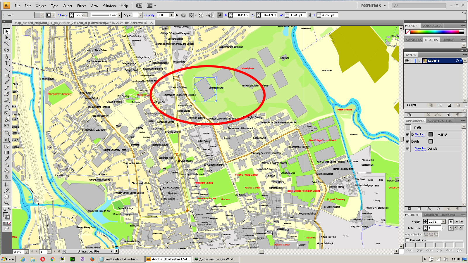
Bulk selection the same objects on the vector map
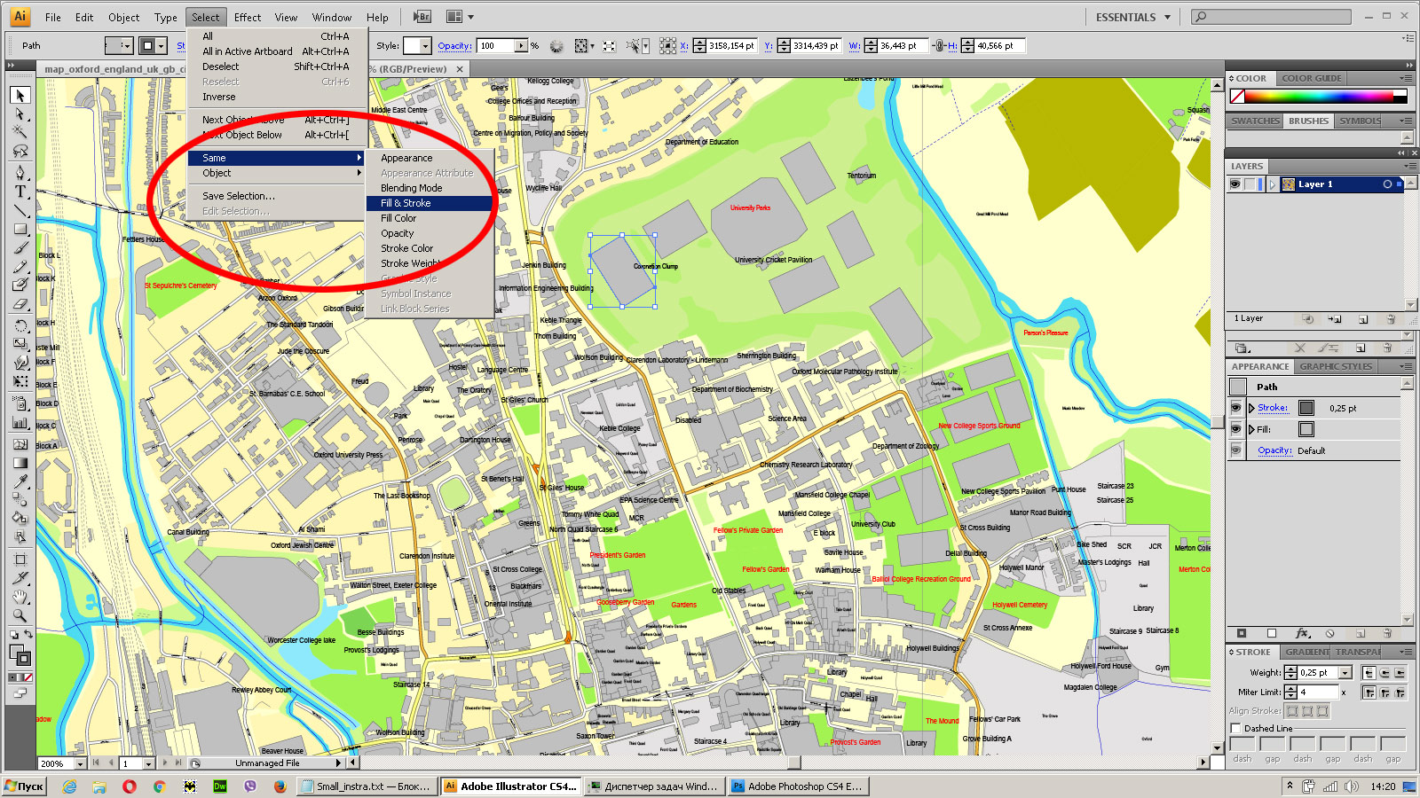
See the bulk selected objects on the vector map
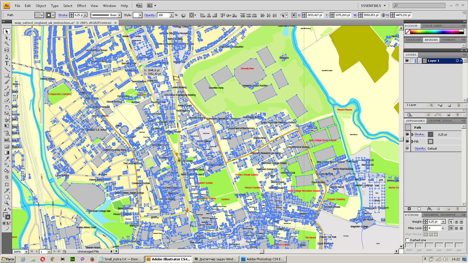
Bulk delete buildungs from the vector map
Select residencial road (small street) on the vector map
Bulk selection the same lines (streets, roads) on the full map
Create fat lines of the streets on the vector maps (bulk action) 1
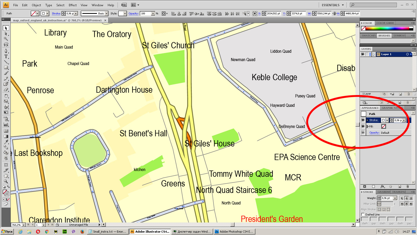
Create fat lines of the streets on the vector maps (bulk action) 2
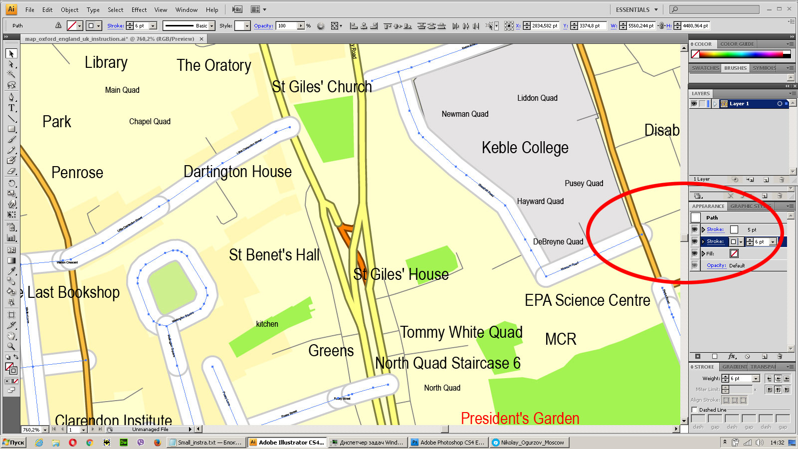
Create fat lines of the streets on the vector maps (bulk action) 3
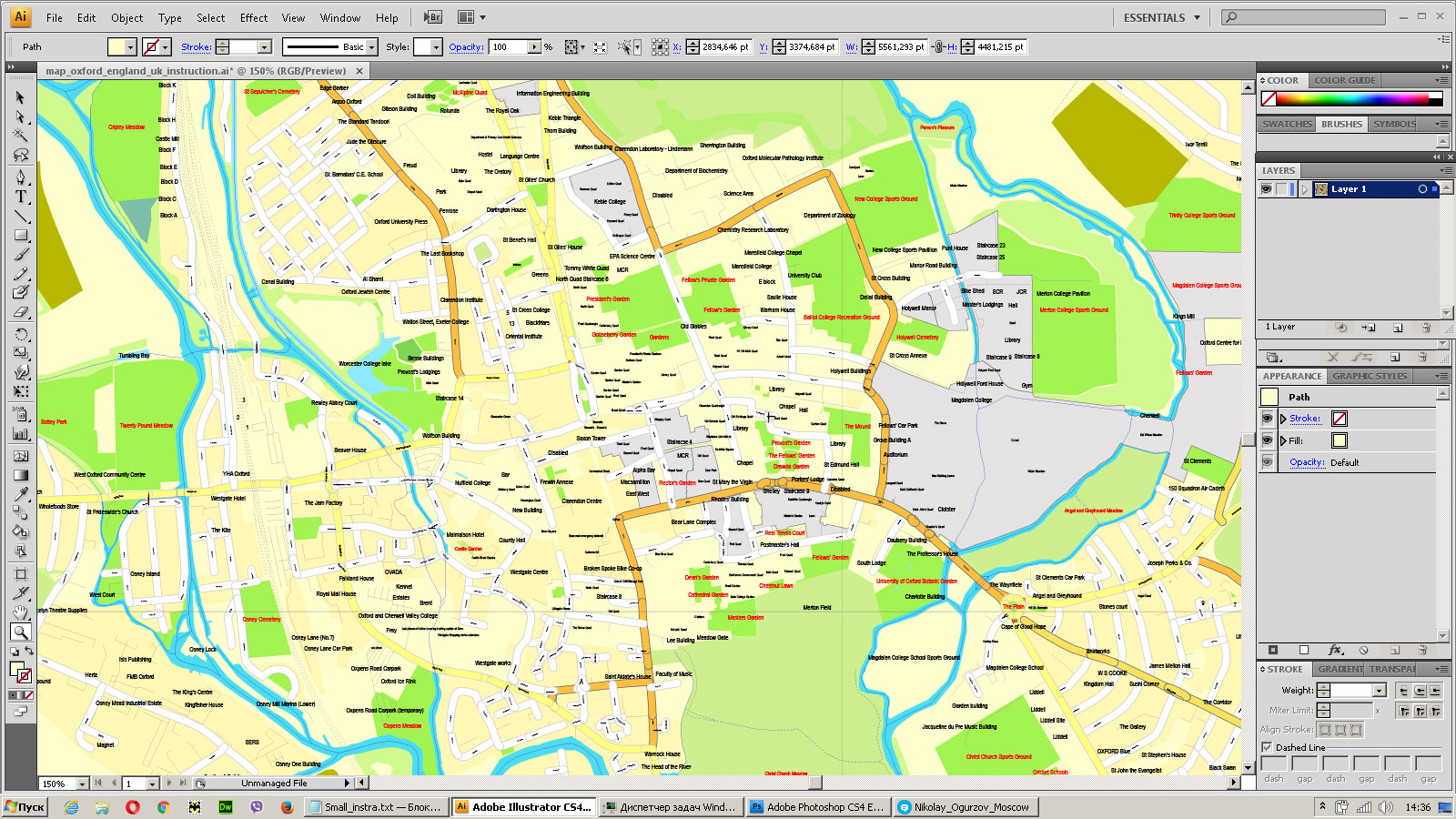
You can easily change the color, stroke and fill of any object on the map, zoom without loss of quality Image Verification.



 Author: Kirill Shrayber, Ph.D. FRGS