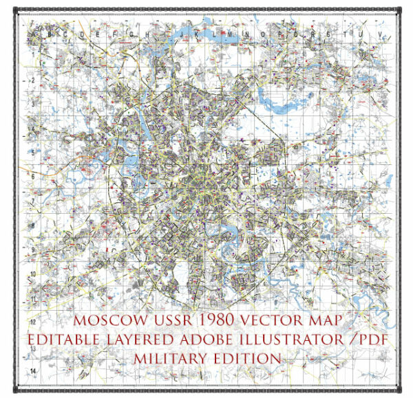
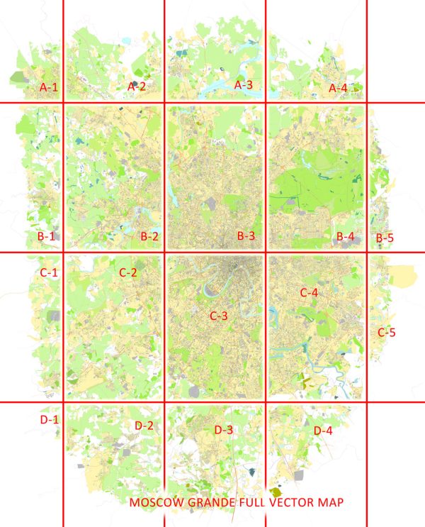
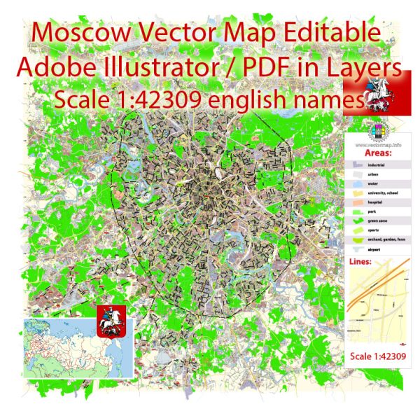
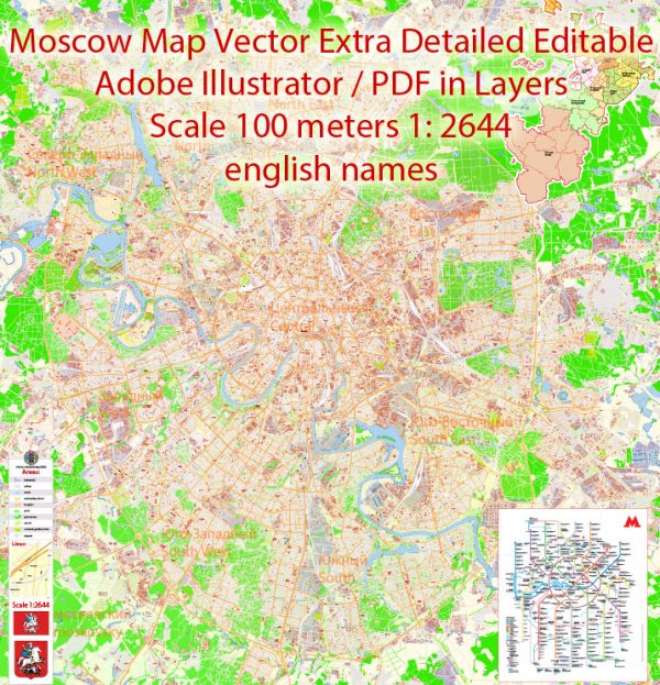
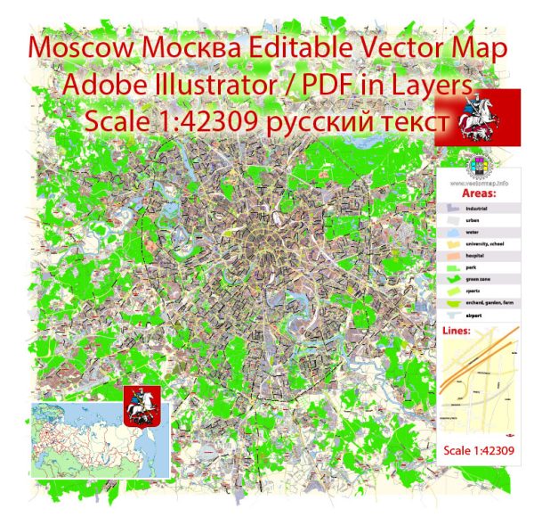
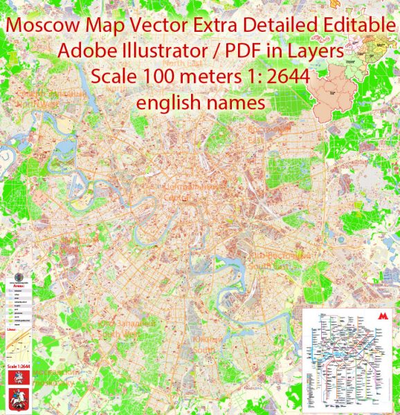
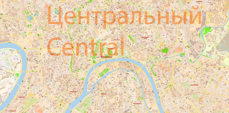
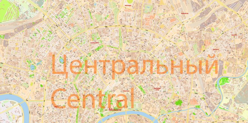
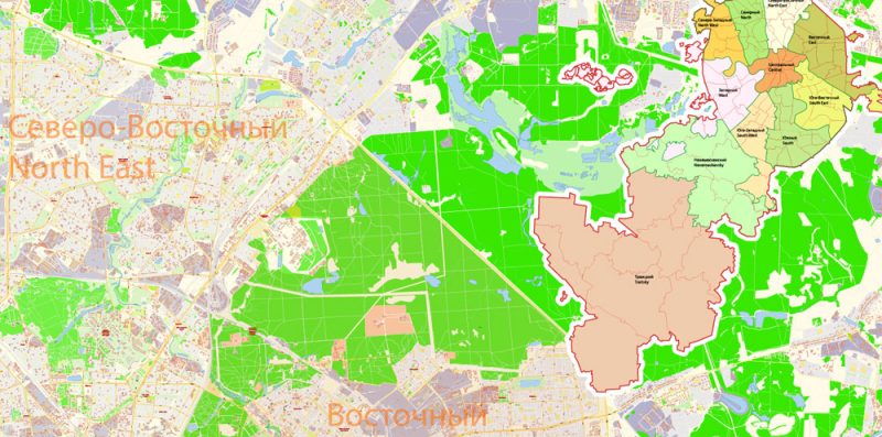
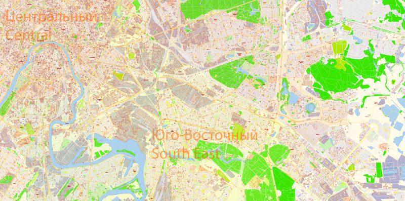
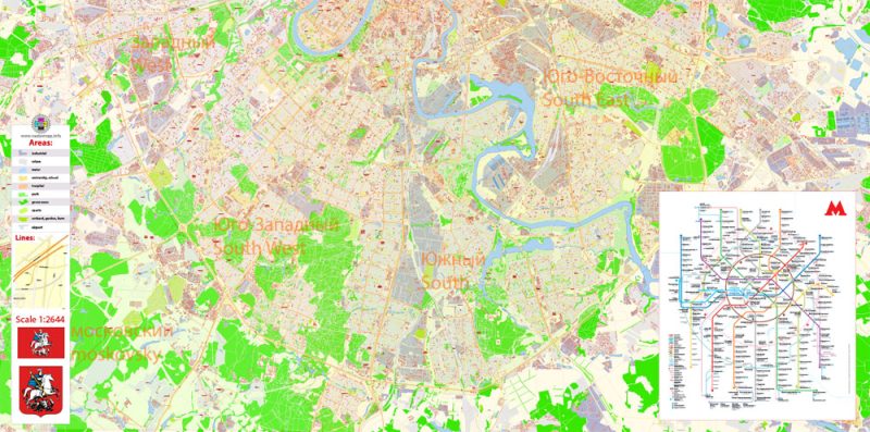
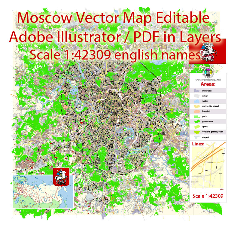
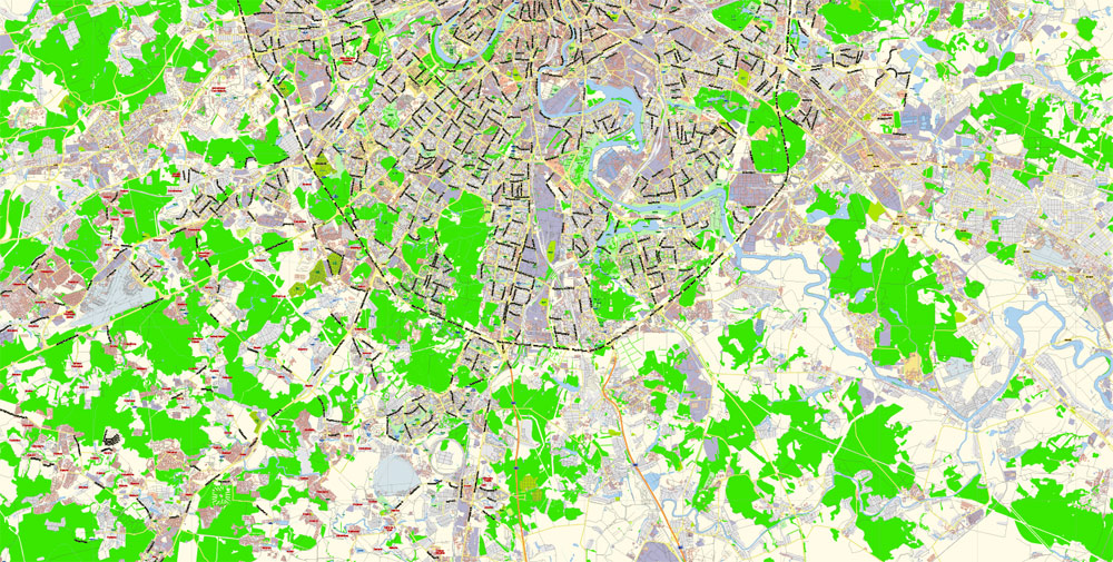
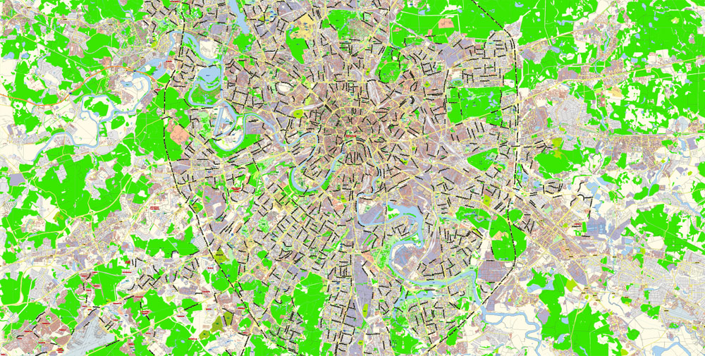
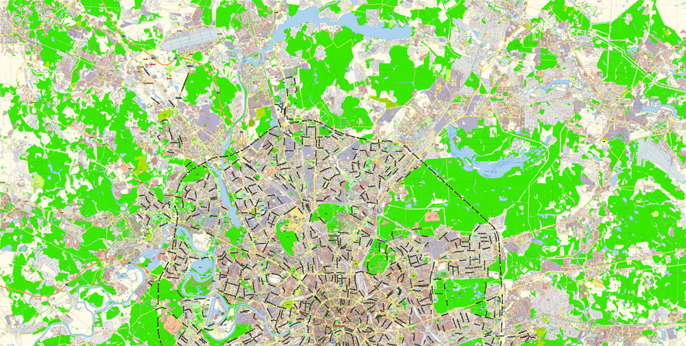
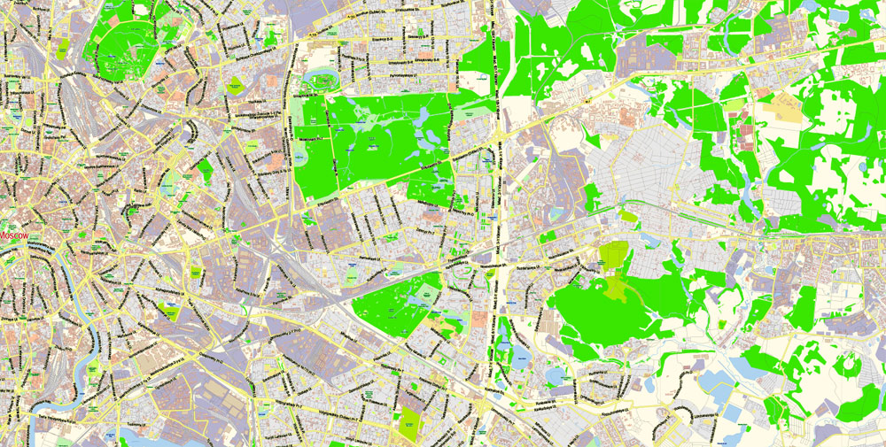
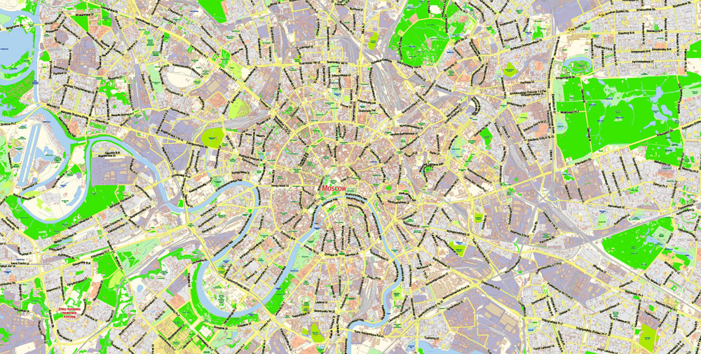
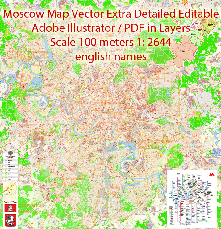
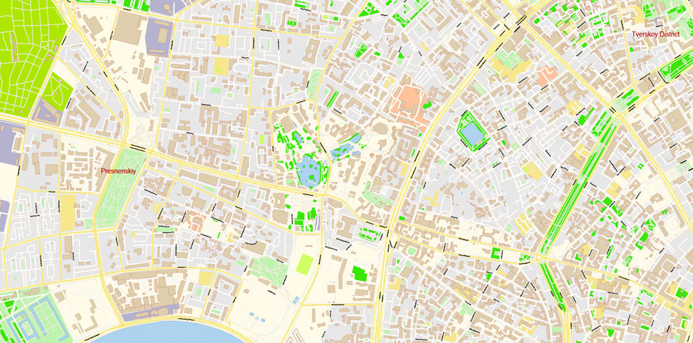
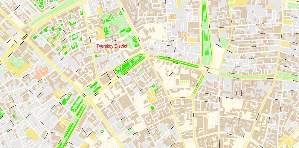
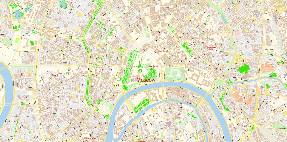
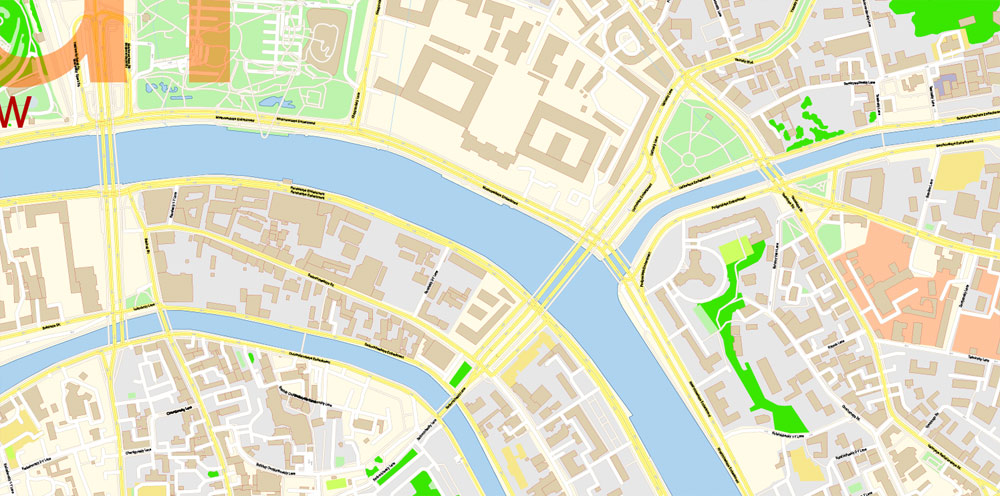
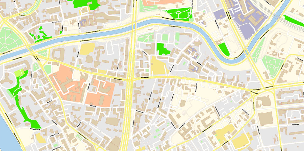
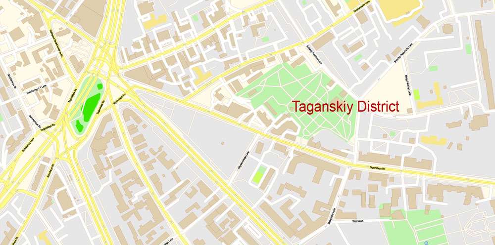
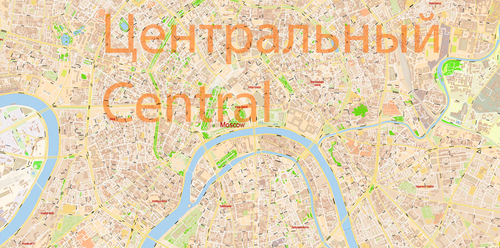
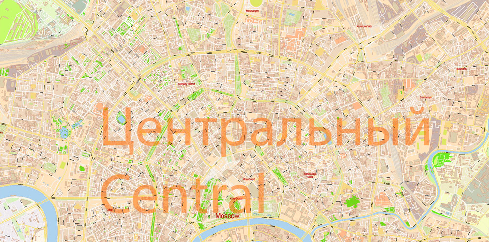
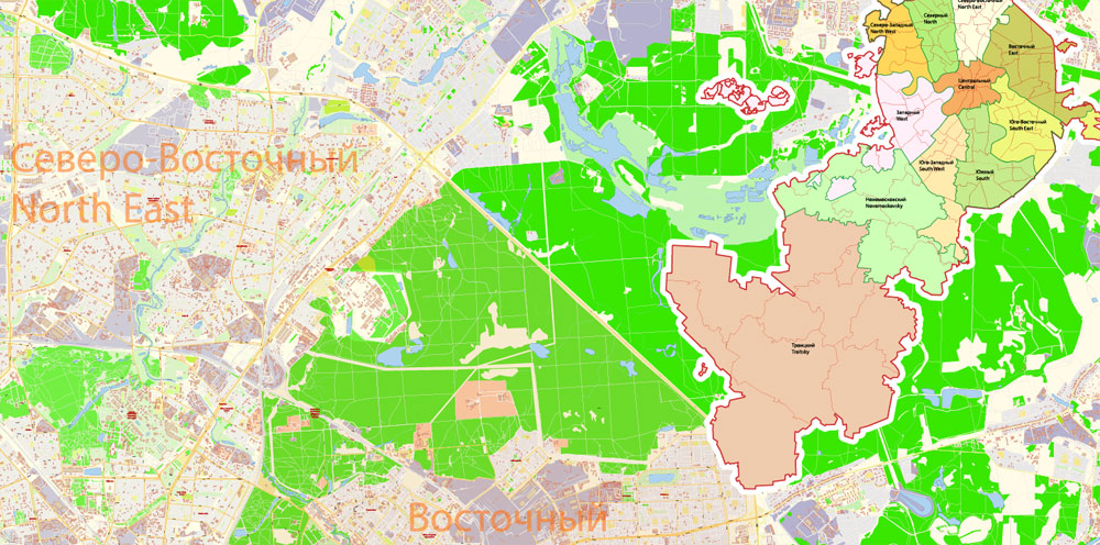
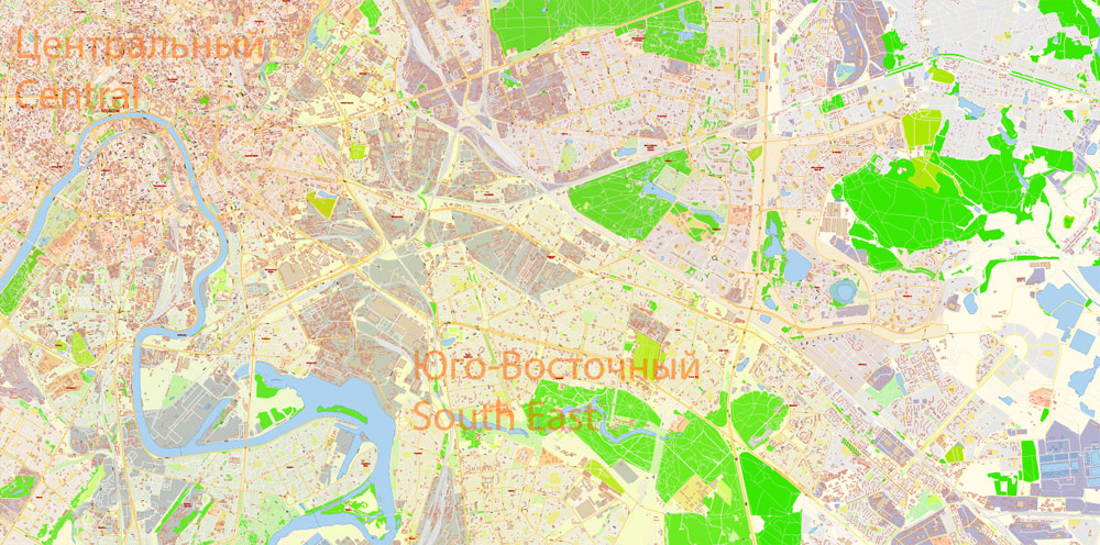
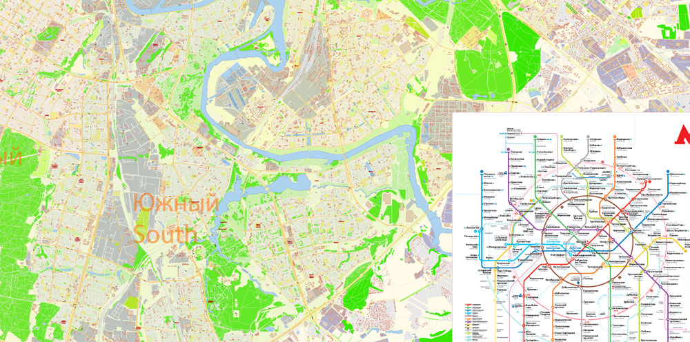
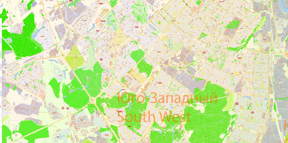
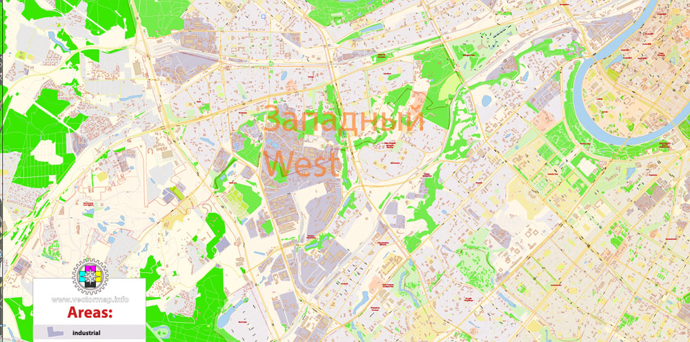
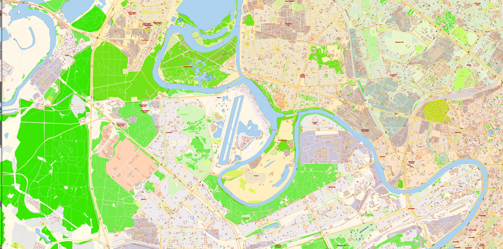
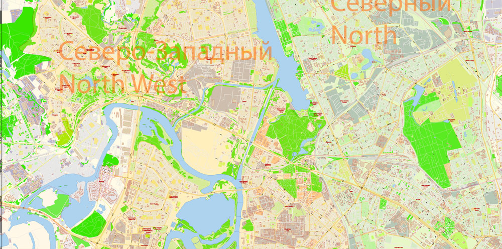
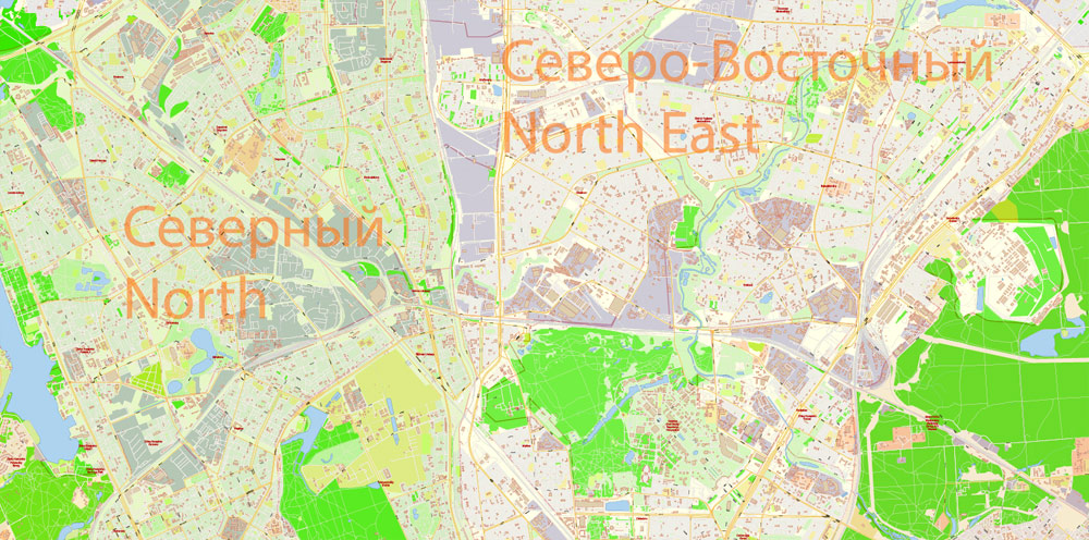
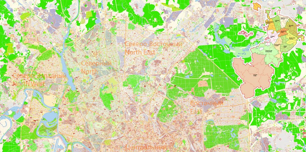
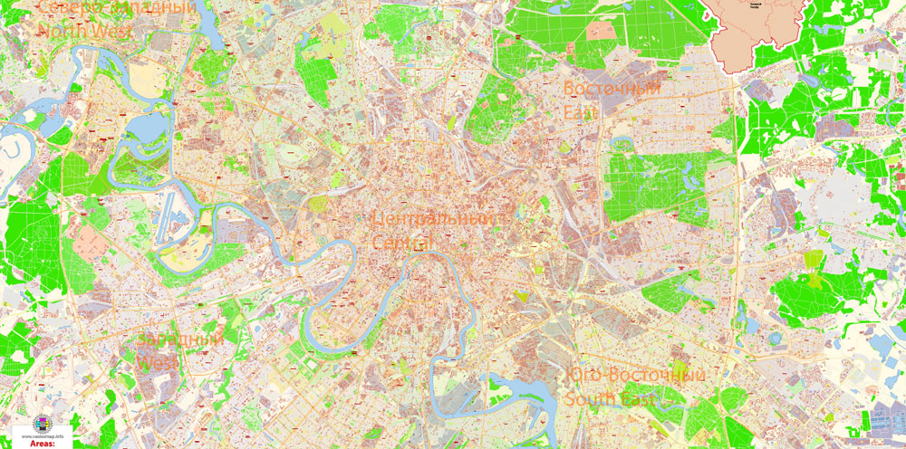
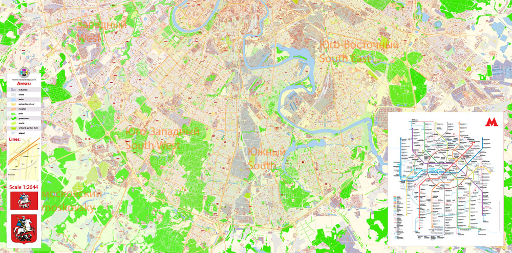
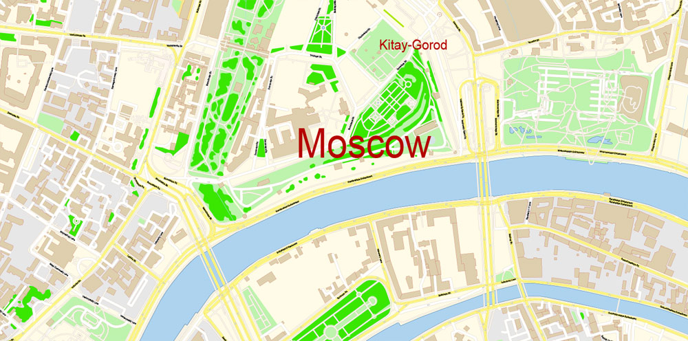
Printable PDF Vector Map Moscow Russia English names exact extra detailed City Plan editable Adobe PDF Street Map in layers + admin areas + Subway Map 138 Mb ZIP.
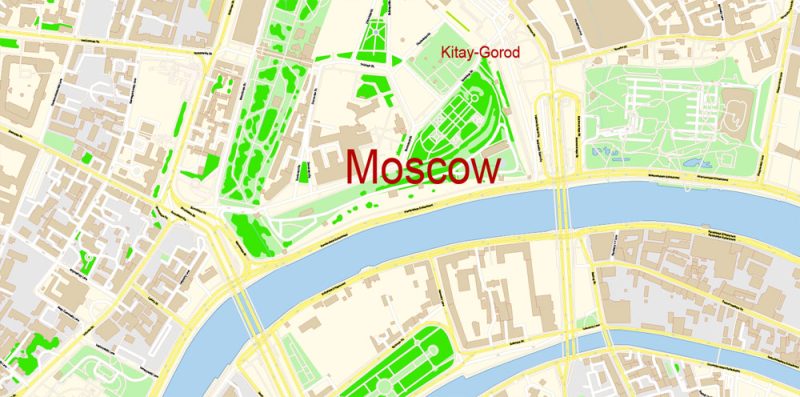
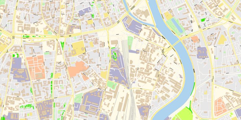
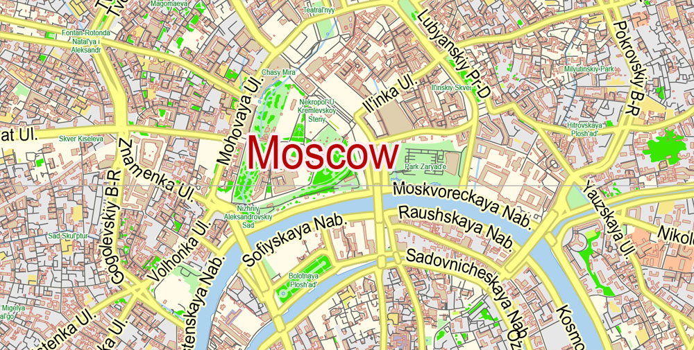
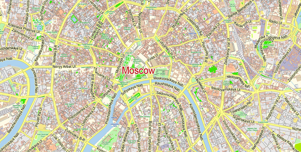
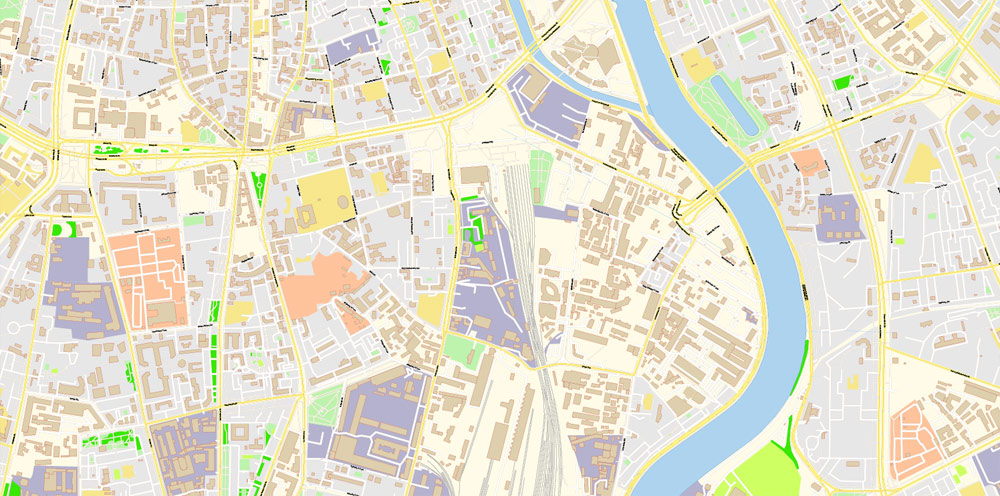
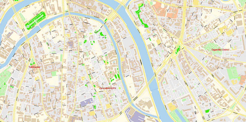
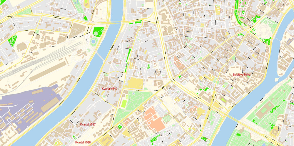
All streets, main objects, buildings. Map for publishing, design, printing, publications, arts, projects, presentations, for architects, designers and builders, business, logistics. The most exact and detailed map of the city in scale
Layers: legend, grids, labels_roads, names_places, names_streets, water, admin areas, names_objects, buildings, streets_roads, color_fills, etc.
Text format all names
For High Quality Printing
DWG, DXF, CDR, ESRI Shapes, and other formats – by request, same price, please contact.
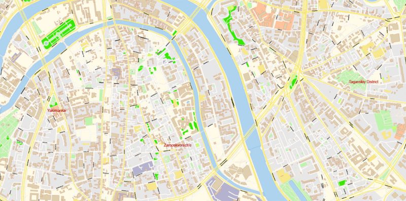
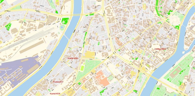
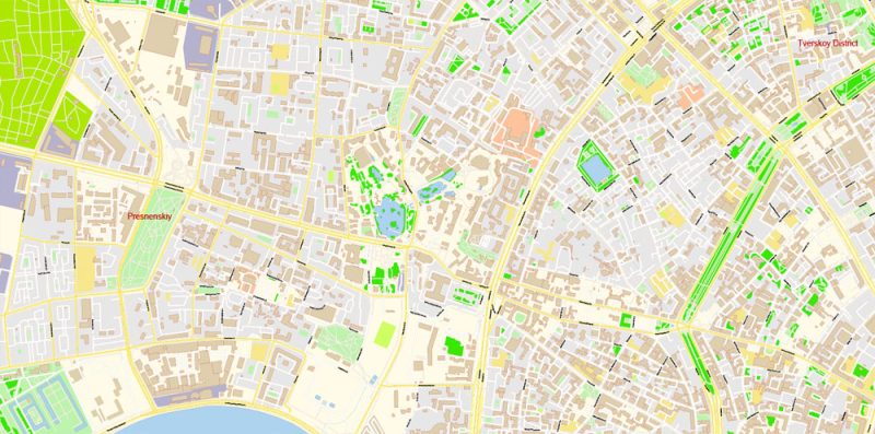
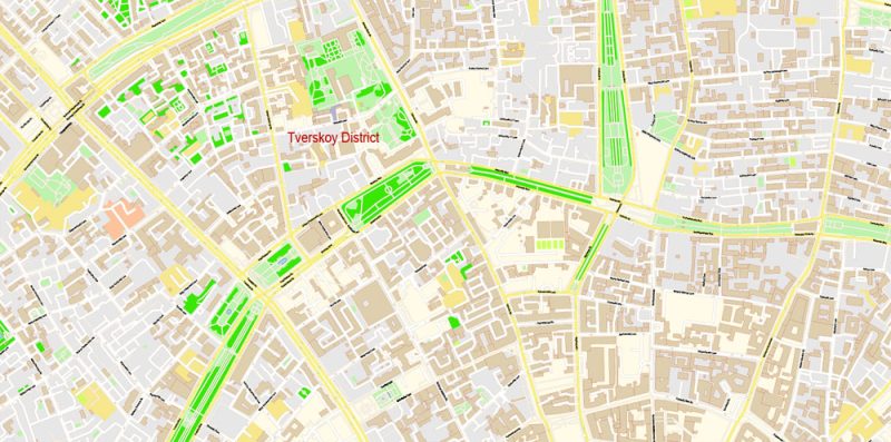
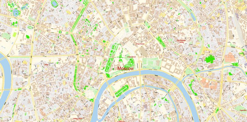
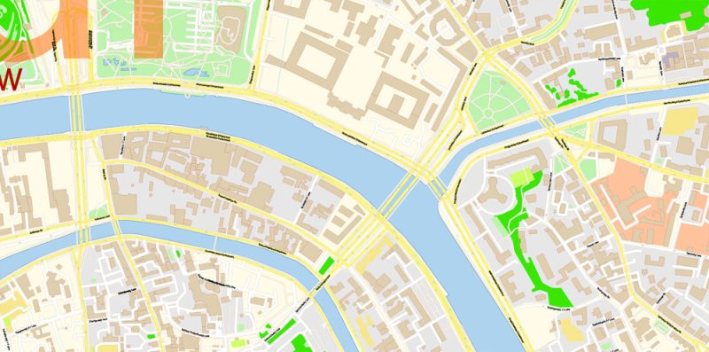
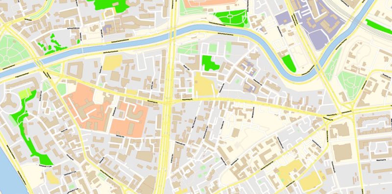
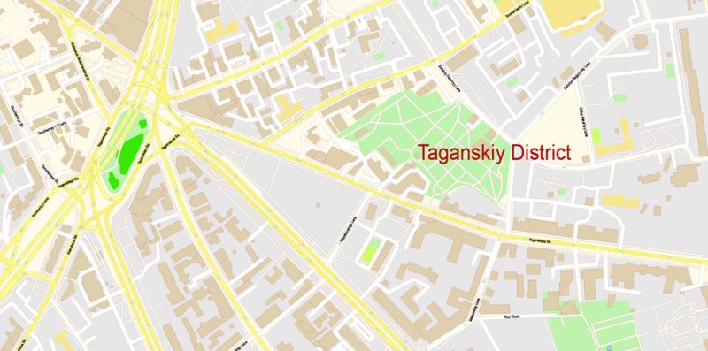
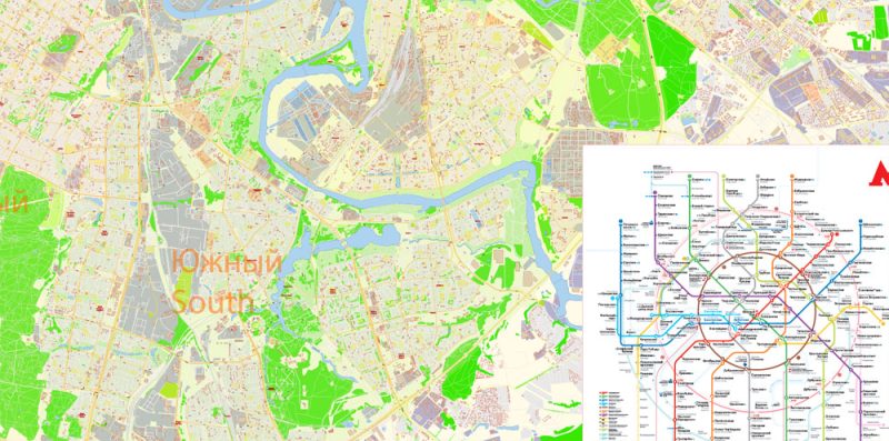
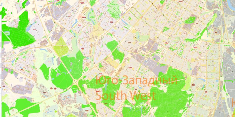
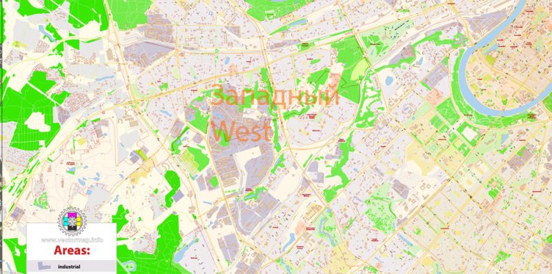
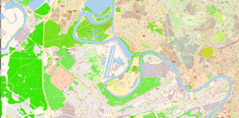
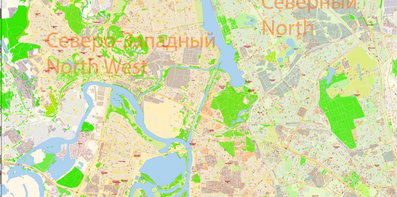
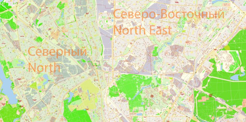
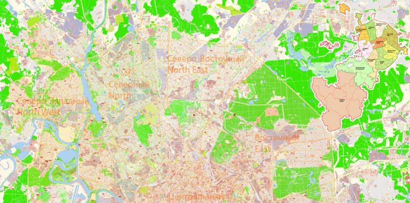
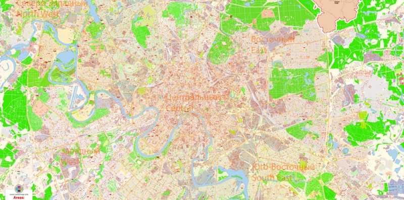
Moscow is the capital and most populous city of Russia, with 13.2 million residents within the city limits and 17 million within the urban area. Moscow is one of Russia’s federal cities.
Moscow is a major political, economic, cultural, and scientific centre of Russia and Eastern Europe, as well as the largest city (both by population and by area) entirely on the European continent.
The undoubted advantage of Moscow city vector maps in printing is an excellent and detailed visualization, when customer can expand a large paper map and instantly define his location, find a landmark, an object or address on map, unlike using the popular electronic formats of Google and Yandex maps for example.
By broader definitions Moscow is among the world’s largest cities, being the 14th largest metro area, the 18th largest agglomeration, the 14th largest urban area, and the 11th largest by population within city limits worldwide.
This is the most detailed, exact map of Moscow city for high-quality printing and polygraphy. You can always clarify the map development date by contacting us.
According to Forbes 2013, Moscow has been ranked as the ninth most expensive city in the world by Mercer and has one of the world’s largest urban economies, being ranked as an alpha global city according to the Globalization and World Cities Research Network, and is also one of the fastest growing tourist destinations in the world according to the MasterCard Global Destination Cities Index.
Moscow is the northernmost and coldest megacity and metropolis on Earth. It is home to the Ostankino Tower, the tallest free standing structure in Europe; the Federation Tower, the second-tallest skyscraper in Europe; and the Moscow International Business Center.
One of the advantages of Moscow city vector maps of our production is the relevance of cartographic data, we constantly update all our products.
By its territorial expansion on July 1 2012 southwest into the Moscow Oblast, the area of the capital more than doubled, going from 1,091 to 2,511 square kilometers (421 to 970 sq mi), resulting in Moscow becoming the largest city on the European continent by area; it also gained an additional population of 233,000 people.
Any color group can be selected and edited, or used to redefine the colors in the selected vector map of Moscow city, its fragments or elements.
Saving a color group adds this group to the specified list.
Opening the «Edit Colors»/«Repaint Graphic Object» dialog box.
Open the «Edit Colors»/«Repaint Graphic Object» dialog box using one of the following methods:
«Edit»> «Edit Colors»> «Repaint Graphic object» or «Repaint With Style».
Use these commands if you need to edit the colors in the selected vector map of Moscow city.
«Repaint Graphic object» button on the «Control» panel.
Use this button if you need to adjust colors of Moscow city vector map using the а «Repaint graphic object» dialog box.
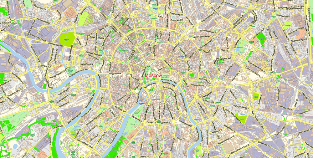
Moscow is situated on the Moskva River in the Central Federal District of European Russia, making it Europe’s most populated inland city. The city is well known for its architecture, particularly its historic buildings such as Saint Basil’s Cathedral with its colourful architectural style.
The Moscow city map in vector format is used for design, urban planning, presentations and media visualizations.
With over 40 percent of its territory covered by greenery, it is one of the greenest capitals and major cities in Europe and the world, having the largest forest in an urban area within its borders—more than any other major city—even before its expansion in 2012.
If a picture or a map fragment is not selected, and you open the dialog box by clicking the icon in the Control panel, on the Samples palette or in the Color Catalog, the «Edit Colors» dialog box appears and you can only access the «Edit» tab.
Regardless of the name at the top of the dialog box, the right-hand side always displays the color group of the current document, as well as two default color groups: Print Color and Grayscale. These color groups can be selected and used any time.
«Assign»
The «Assign» tab is used to view and control on how the original colors are replaced with colors from the color group like your corporate colors in the Vector Map of Moscow city.
The assign color ability is provided only if the entire map, layer or fragment is selected in the document. You can specify which of new colors replace the current colors, whether the spot colors should be preserved and how colors are replaced (for example, you can replace colors completely or changing the color tone while maintaining the brightness). The «Assign» tab allows you to redefine colors in the Vector Map of Moscow city, or in separate layers and fragments using the current color group or reducing the number of colors in the current Vector Map.
Color groups
Is a list of all saved color groups for current document (the same groups appear in the «Samples» palette). You can edit and delete the existing color groups, as well as creating a new ones using the list of “Color Groups” in the dialog box. All changes appear in the «Samples» palette.
The highlighted color group shows, which color group is currently edited.
The city has served as the capital of a progression of states, from the medieval Grand Duchy of Moscow and the subsequent Tsardom of Russia to the Russian Empire to the Soviet Union and the contemporary Russian Federation.
Create and edit color groups of Moscow city vector map, and also assign colors using the «Edit Colors»/ а «Repaint Graphic Object» dialog box.
A. Creating and editing of a color group on the «Edit» tab
B. Assigning colors on the «Assign» tab
C. Select a group of colors from the «Color groups» list
The option «Repaint a graphic object» in the lower part of the dialog box allows you to preview the colors on a selected layer of Vector map, or a group of elements, and specify whether its colors will be redefined when the dialog box is closed.
Moscow is the seat of power of the Government of Russia, being the site of the Moscow Kremlin, a medieval city-fortress that is today the residence for work of the President of Russia. The Moscow Kremlin and Red Square are also one of several World Heritage Sites in the city.
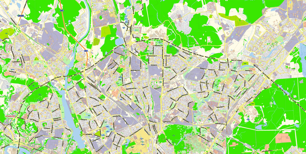
But there is more effective way of working with the whole VECTOR MAP of Moscow city and all layers:
The overview dialog «Edit colors»/«Repaint Graphic Object» (this dialog box name can change depending on the context):
If you have selected a part or a layer of Moscow city vector map and open the dialog box by clicking the icon in the Control panel, on the Samples palette or the Color Catalog, or if you choose Edit > Edit Colors> Repaint Graphic Object, then the «Repaint Graphic Object» dialog box appears, and you get access to «Assign» and «Edit» tabs.
Both chambers of the Russian parliament (the State Duma and the Federation Council) also sit in the city. Moscow is considered the centre of Russian culture, having served as the home of Russian artists, scientists and sports figures and because of the presence of museums, academic and political institutions and theatres.
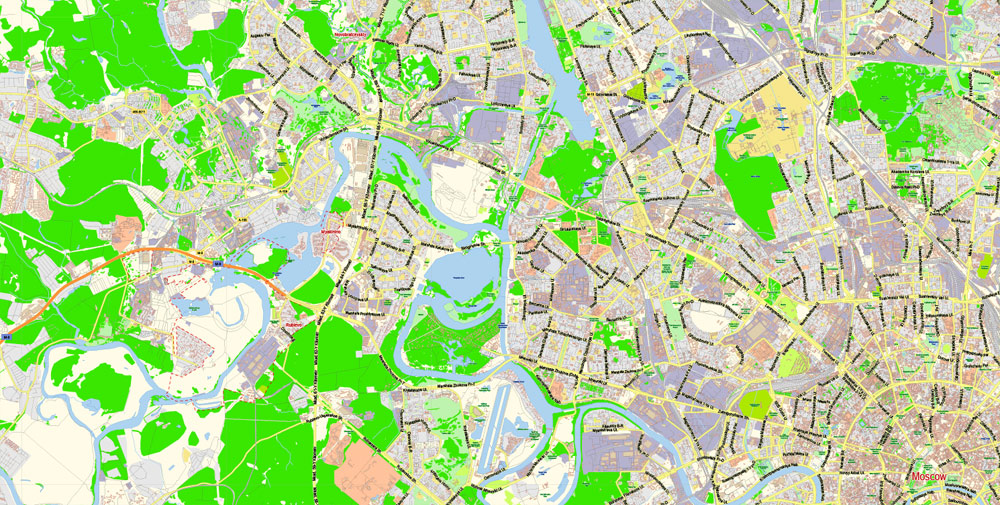
The city is served by a transit network, which includes four international airports, nine railway terminals, numerous trams, a monorail system and one of the deepest underground rapid transit systems in the world, the Moscow Metro, the fourth-largest in the world and largest outside Asia in terms of passenger numbers, and the busiest in Europe. It is recognised as one of the city’s landmarks due to the rich architecture of its 200 stations.
You will probably want to change the color scheme used on our Moscow vector city map.
To quickly and effectively play with colors.
Of course, you can do it manually, all objects in our Moscow city vector map are divided according to types and layers, and you can easily change the color gamma of vector objects in groups and layers.
Moscow has acquired a number of epithets, most referring to its size and preeminent status within the nation: The Third Rome (Третий Рим), the Whitestone One (Белокаменная), the First Throne (Первопрестольная), the Forty Soroks (Сорок Сороков) (“sorok” meaning both “forty, a great many” and “a district or parish” in Old Russian).
Moscow is also one of the twelve Hero Cities. The demonym for a Moscow resident is “москвич” (moskvich) for male or “москвичка” (moskvichka) for female, rendered in English as Muscovite.
The name “Moscow” is abbreviated “MSK” (МСК in Russian).
Moscow is situated on the banks of the Moskva River, which flows for just over 500 km (311 mi) through the East European Plain in central Russia. 49 bridges span the river and its canals within the city’s limits. The elevation of Moscow at the All-Russia Exhibition Center (VVC), where the leading Moscow weather station is situated, is 156 metres (512 feet).
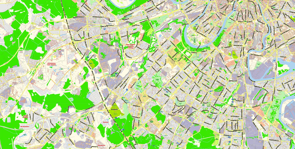
The «Edit color group» button or «Edit or apply color group» on the «Samples» palette.
Click this button if you need to edit the colors in the specific color group or edit and apply them to the selected Vector Map of Moscow city or a group of its elements, for example, the whole layer “Streets and lines”. You can also double-click the color group in the Samples panel to open the dialog box.
If the map file is too large and your computer freezes or even can’t open it quickly:
1. Try to reduce the color resolution of the video card (display) to 256 colors while working with a large map.
2. Using Windows Task Manager, select all the application you don’t need, while working with map, just turn them off.
3. Launch Adobe Illustrator. (DO NOT OPEN the vector map file)
4. Start the Windows Task Manager using administrator rights > Find the “Illustrator” process > set the «real time» priority,
5. Open the file. When you see the LEGACY FONT popup window – click “OK” (do not update). You can restore the TEXT later.
6. Can also be useful: When file is opened – Edit > Settings > Basic Settings > disable smoothing. /// It looks scary, but works quickly)))
We recommend saving the file in Adobe Illustrator 10 version. It’s much more stable when working with VERY BIG size files.
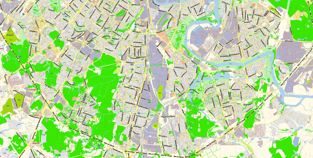
Teplostanskaya highland is the city’s highest point at 255 metres (837 feet). The width of Moscow city (not limiting MKAD) from west to east is 39.7 km (24.7 mi), and the length from north to south is 51.8 km (32.2 mi).
The advertising and presentation map of Moscow city (usually the final designer marks the routes, and puts the client’s objects (shops, saloons, gas stations etc.)
The undoubted advantage is that people will NEVER throw out this advertising product – the map. In fact, as an advertising medium, a city map is the most “long-playing” of the well-known polygraphic advertising media, with the longest lifespan, and the maximum number of interactions with the customer.
Parks and landmarks
There are 96 parks and 18 gardens in Moscow, including four botanical gardens. There are 450 square kilometres (170 sq mi) of green zones besides 100 square kilometres (39 sq mi) of forests.
Useful tips on working with vector maps of cities and countries in Adobe Illustrator.
«V» – launches the Selection tool (cursor, black arrow), which makes active any vector line.
«А» – launches the Direct Selection tool (white cursor), allows you to select curve elements and drag them to the desired place.
«R» – activates the Rotate tool, which helps you rotating selected objects around the center point by 360 degrees.
«E» – gives you the opportunity to use the Eraser tool and erase unnecessary parts.
«X» – switches between Fill and Stroke in the Tools section. Try to get used to this hot key and
you will quickly understand that you can’t live and work without it.
Moscow is a very green city, if compared to other cities of comparable size in Western Europe and North America; this is partly due to a history of having green “yards” with trees and grass, between residential buildings.
Guides are not limited to vertical and horizontal in Adobe Illustrator. You can also create a diagonal guide for example. Moreover, you can turn any contours into guides. Select the outline and go to View > Guides > Make Guides (Create Guides), or simply press Cmd/Ctrl + 5. You can also turn the guides back into an editable object. Go to menu, View > Guides > Unlock Guides (Release Guides), select the guide you want to edit and select View > Guides > Release Guides (Reset Guides), or just press Cmd/Ctrl + Option / Alt + 5).
There are on average 27 square meters (290 sq ft) of parks per person in Moscow compared with 6 for Paris, 7.5 in London and 8.6 in New York.
This vector map of Moscow city is used as a basis for design, editing, and further printing.
Gorky Park
Gorky Park (officially the Central Park of Culture and Rest named after Maxim Gorky), was founded in 1928. The main part (689,000 square metres or 170 acres) along the Moskva river contains estrades, children’s attractions (including the Observation Wheel water ponds with boats and water bicycles), dancing, tennis courts and other sports facilities.
You can easily add any objects needed (e.g. shops, salons, sale points, gas station or attraction) on any layer of Moscow vector map.
It borders the Neskuchny Garden (408,000 square metres or 101 acres), the oldest park in Moscow and a former imperial residence, created as a result of the integration of three estates in the 18th century. The Garden features the Green Theater, one of the largest open amphitheaters in Europe, able to hold up to 15 thousand people.
For travelers, maps are sold at the airports and gas stations around the world. Often the source is our vector maps.
Several parks include a section known as a “Park of Culture and Rest”, sometimes alongside a much wilder area (this includes parks such as Izmaylovsky, Fili and Sokolniki). Some parks are designated as Forest Parks (lesopark).
Izmaylovsky Park, created in 1931, is one of the largest urban parks in the world along with Richmond Park in London. Its area of 15.34 square kilometres (5.92 sq mi) is six times greater than that of Central Park in New York.
Novodevichy Convent is a World Heritage Site
Sokolniki Park, named after the falcon hunting that occurred there in the past, is one of the oldest parks in Moscow and has an area of 6 square kilometres (2.3 sq mi).
It’s very easy to work with vector maps of Moscow city, even for a not very experienced designer who can turn on and off the map layers, add new objects, change the colors of fill and lines according to customer requirements.
A central circle with a large fountain is surrounded by birch, maple and elm tree alleys. A labyrinth composed of green paths lies beyond the park’s ponds.
The specified button is available if the selected vector map or its fragment contains two or more colors.
Note. This color editing method is convenient for global color adjustment in a vector map, if global colors were not used when creating a City Map of Moscow.
The «Edit colors» button or «Edit or apply colors» on the «Color Catalog» palette
Click this button if you need to edit colors on the «Color Catalog» palette or edit and then apply them to the selected Vector Map of Moscow city or its fragment.
Losiny Ostrov National Park (“Elk Island” National Park), with a total area of more than 116 square kilometres (45 sq mi), borders Sokolniki Park and was Russia’s first national park. It is quite wild, and is also known as the “city taiga” – elk can be seen there.
Zaryadye Park
Tsytsin Main Botanical Garden of Academy of Sciences, founded in 1945 is the largest in Europe. It covers territory of 3.61 square kilometres (1.39 sq mi) bordering the All-Russia Exhibition Center and contains a live exhibition of more than 20 thousand species of plants from around the world, as well as a lab for scientific research.
For your convenience, all objects on Moscow vector city map are divided into layers. And the editing is very easy – colors, lines, etc.
It contains a rosarium with 20 thousand rose bushes, a dendrarium, and an oak forest, with the average age of trees exceeding 100 years. There is a greenhouse taking up more than 5,000 square metres (53,820 square feet) of land.
The main areas of the dialog box are:
«Edit»
The «Edit» tab is designed to create a new or edit the existing color groups.
The harmony rules Menu and the Color Wheel are used to conduct experiments with color harmonies. The color wheel shows how colors are related in color harmony, and the color bars allow you to view and manipulate an individual color values. In addition, you can adjust the brightness, add and remove colors, save color groups and view colors on the selected Vector Map of Moscow city or a separated layers.
The All-Russian Exhibition Center (Всероссийский выставочный центр), formerly known as the All-Union Agricultural Exhibition (VSKhV) and later Exhibition of Achievements of the National Economy (VDNKh), though officially named a “permanent trade show”, is one of the most prominent examples of Stalinist-era monumental architecture.
This vector map of Moscow city is used by:
designers, layout designers, printers, advertisers and architects. Our product – vector maps – is designed for further editing and printing in large formats – from @Wall format (a few meters) to A-0 and A-1, A-2, A-3.
Among the large spans of recreational park areas are scores of elaborate pavilions, each representing either a branch of Soviet industry and science or a USSR republic. Even though during the 1990s it was, and for some part still is, misused as a gigantic shopping center (most of the pavilions are rented out for small businesses), it still retains the bulk of its architectural landmarks, including two monumental fountains (Stone Flower and Friendship of Nations) and a 360 degrees panoramic cinema.
Take a look, who purchases our vector maps of Moscow city in “Our Clients and Friends” page – these are large and small companies, from super-brands like Volvo and Starbucks, to small design studios and printing houses.
In 2014 the park returned to the name Exhibition of Achievements of National Economy, and in the same year huge renovation works had been started. Lilac Park, founded in 1958, has a permanent sculpture display and a large rosarium.
Ascension church in Kolomenskoye is a World Heritage Site
Moscow has always been a popular destination for tourists. Some of the more famous attractions include the city’s UNESCO World Heritage Site, Moscow Kremlin and Red Square, which was built between the 14th and 17th centuries.
Printable vector maps of Moscow city are much more convenient and efficient than any electronic maps on your smartphone, because ALL DETAILS are displayed in the entire space of Moscow city map.
The Church of the Ascension at Kolomenskoye, which dates from 1532, is also a UNESCO World Heritage Site and another popular attraction.
Near the new Tretyakov Gallery there is a sculpture garden, Museon, often called “the graveyard of fallen monuments” that displays statues of the former Soviet Union that were removed from their place after its dissolution.
Other attractions include the Moscow Zoo, a zoological garden in two sections (the valleys of two streams) linked by a bridge, with nearly a thousand species and more than 6,500 specimens. Each year, the zoo attracts more than 1.2 million visitors. Many of Moscow’s parks and landscaped gardens are protected natural environments.
Moscow
Capital of Russia
Moscow, on the Moskva River in western Russia, is the nation’s cosmopolitan capital. In its historic core is the Kremlin, a complex that’s home to the president and tsarist treasures in the Armoury. Outside its walls is Red Square, Russia’s symbolic center. It’s home to Lenin’s Mausoleum, the State Historical Museum’s comprehensive collection and St. Basil’s Cathedral, known for its colorful, onion-shaped domes.
Area
• Total 2,511 km2 (970 sq mi)
Area rank 83rd
Population
• Total 12,506,468
• Rank 1st
• Density 4,980.67/km2 (12,899.9/sq mi)
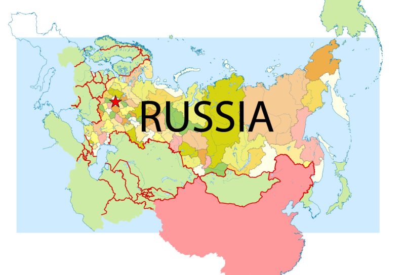
Free Vector map Russia Free Download:
Adobe Illustrator Free Vector Map Russia russia_free_vector_map_ai.ai download >>>
Adobe PDF Free Vector Map Russia russia_free_vector_map_pdf.pdf download >>>
Free vecto map Europe:
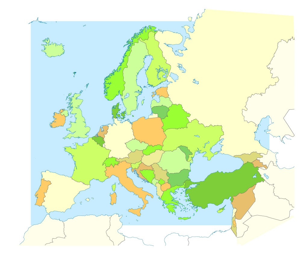
Free download printable map Europe vector Adobe Illustrator >>>
Free download printable PDF map Europe vector Adobe PDF >>>
Author Rating
Aggregate Rating
5 based on 1 votes
@vectormapper
Product Name Moscow PDF Map Vector Russia English names exact extra detailed City Plan editable Adobe PDF Street Map in layers + admin areas + Subway Map
Price
USD 78
Product Availability
Available in Stock



 Author: Kirill Shrayber, Ph.D. FRGS