Extended Description of the Vector Map
Printable Marmaris area Turkey Marine Vector Map, exact high detailed editable layered Adobe Illustrator scalable, editable, curves format all names, Mercator projection, 11 MB ZIP
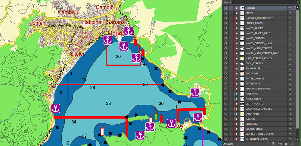
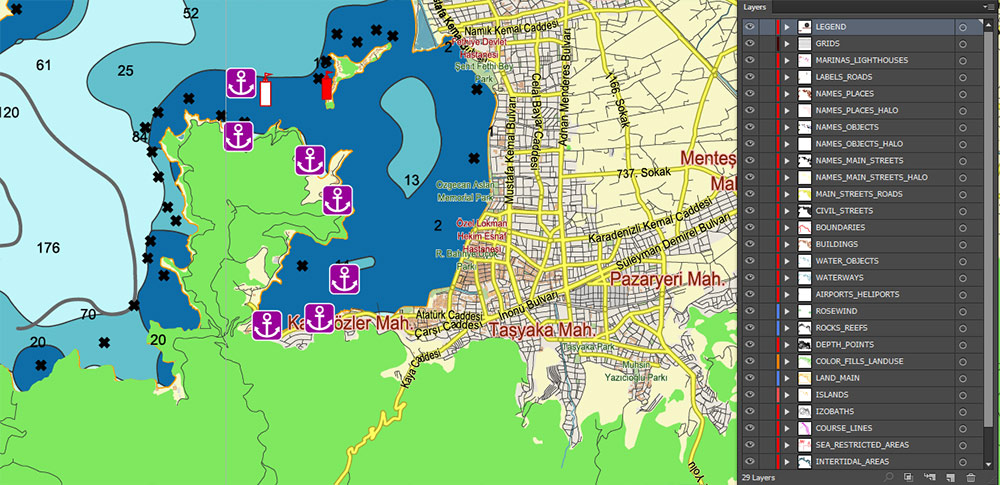
Names all streets, Buildings, depth points
Map for design, printing, arts, projects, presentations, for architects, designers, and builders, business, logistics.
The most exact and detailed Marine Map Marmaris area Turkey
Map for editing and High-Quality Printing
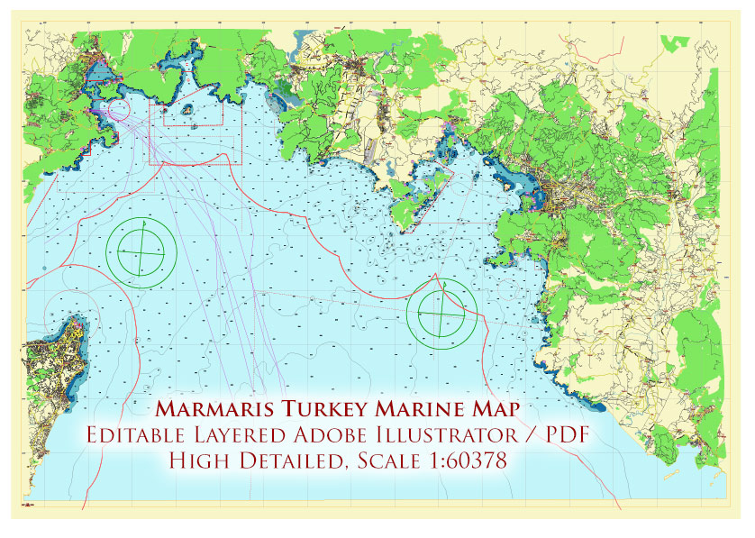
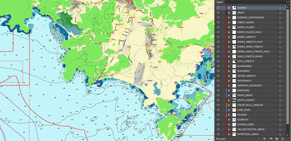
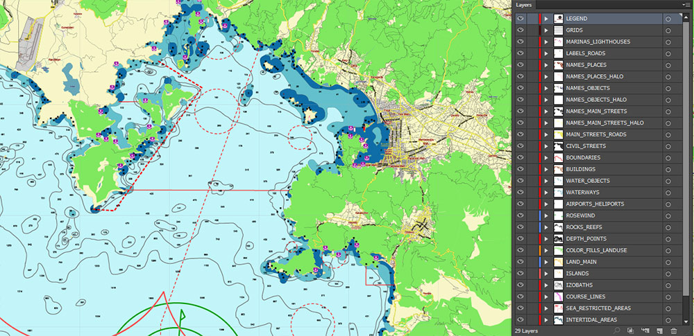
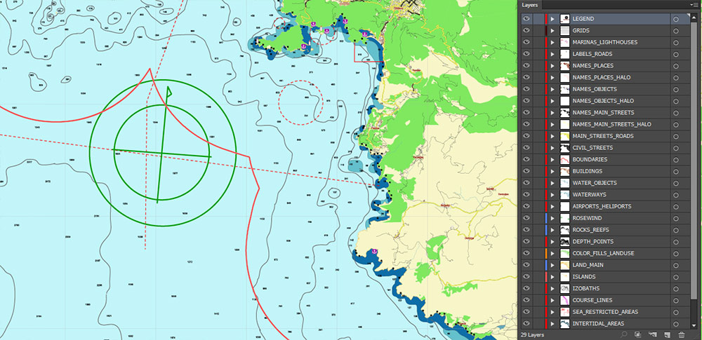
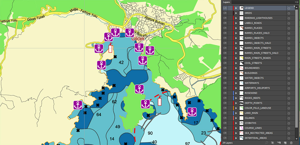
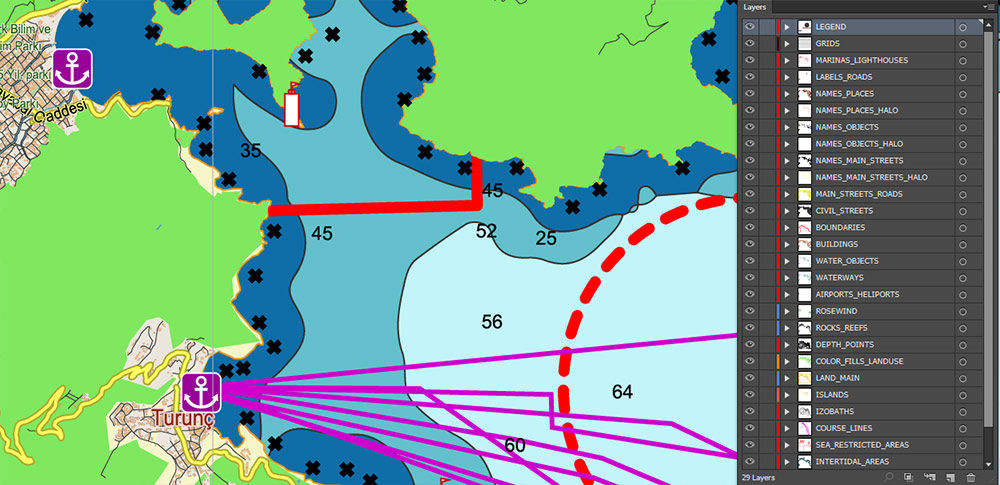
Marmaris area Turkey Marine Vector Map high detailed editable layered Adobe Illustrator
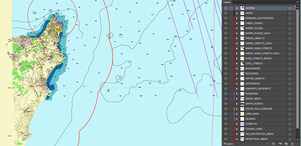
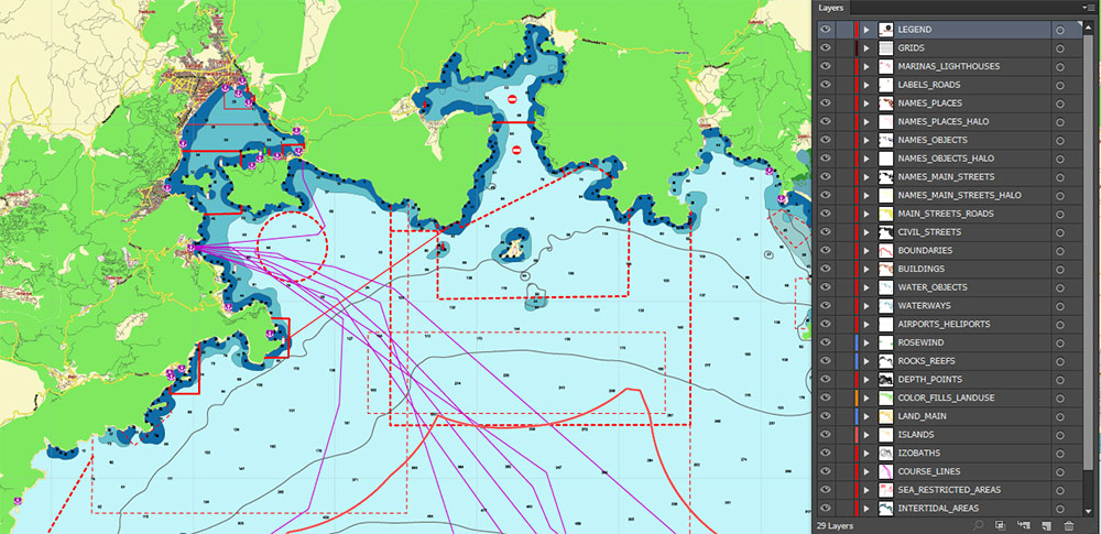
Layers list:
- Legend
- Grids
- Labels of Roads
- Names Main Streets with Halo
- Names Objects with Halo
- Names Places with Halo
- Lighthouses and Marinas
- Main Streets and Roads
- Residential roads and streets
- Course lines
- Isobaths
- Depth points (meters)
- State boundaries
- Marine restricted areas
- Airports and Heliports
- Landuse areas
- Water objects (areas)
- Waterways
- Main Land area
- Islands areas
- Intertidal areas
- Sea
- Background
Marmaris area Turkey Marine Vector Map high detailed editable layered Adobe Illustrator
Marmaris area Turkey Marine Vector Map high detailed editable layered Adobe Illustrator
Marmaris area Turkey Marine Vector Map high detailed editable layered Adobe Illustrator
Marmaris area Turkey Marine Vector Map high detailed editable layered Adobe Illustrator
Marmaris area Turkey Marine Vector Map high detailed editable layered Adobe Illustrator
Marmaris area Turkey Marine Vector Map high detailed editable layered Adobe Illustrator
Marmaris area Turkey Marine Vector Map high detailed editable layered Adobe Illustrator
Marmaris area Turkey Marine Vector Map high detailed editable layered Adobe Illustrator
Marmaris area Turkey Marine Vector Map high detailed editable layered Adobe Illustrator

 Author: Kirill Shrayber, Ph.D. FRGS
