Extended Description of the Vector Map
Lugano is the largest city in the Italian — speaking canton of Ticino and the third most important banking center in the country. It is located almost on the border with Italy by the picturesque lake Lago di Lugano between two mountains: Brae and San Salvatore.
To the south is the Lugano-Paradiso area, where you can take the funicular to Monte San Salvatore. To the east of the city rises another mountain – Monte Bre.
Lugano competes with Montreux for the right to be the jazz capital — here in July, the annual jazz festival takes place.
In late August and early September, the Blues — to – Bop music festival is held: the streets are filled with crowds of people, and open-air concerts are held in the squares. It was in Lugano that the first Eurovision Song Contest was held.
The city itself is attractive for its romantic atmosphere, friendly residents, Italian squares with many outdoor cafes, parks, palm trees, and luxurious flowers. It is located on the shores of Lake Lugano between the San Salvatore and Brae Mountains. You can take the train to Brae and enjoy the magnificent view from the mountain, or visit the Villa Favorita — there was the second most valuable private collection of paintings. Now 800 paintings from this collection are in Madrid.
Other places of interest are the Church of San Lorenzo with its magnificent portal, the Church of S. Maria Degli Angele with the famous fresco of the Crucifixion by Bernardino Luini, and the beautiful embankment with the statue of V. Tell.
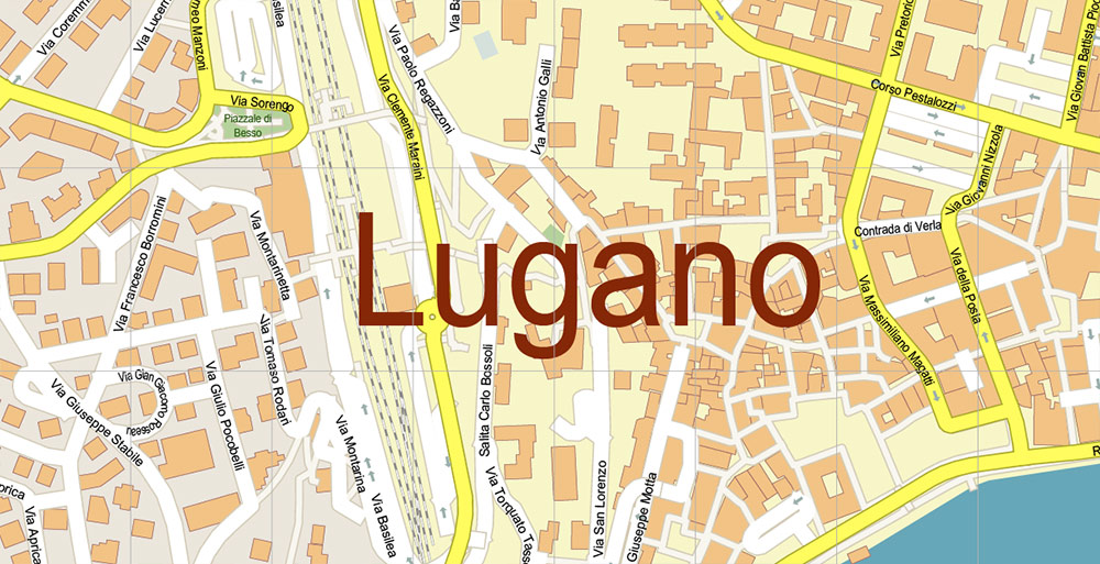
In terms of architecture, the city is quite average, literally with a couple of nice streets between the lower station of the funicular and the town hall. It is worth noting only a couple of churches – Chiesa di Santa Maria Degli Angioli and the Caferal Cathedral with ancient frescoes inside, which stand out noticeably against the background of many Protestant churches in Switzerland with their painted interior. There are also several outstanding buildings of modern architecture-the creations of the famous architect from Ticino, Mario Botta.
Lugano is beautiful even in winter: unlike many cities, the sun is much more often favored by the locals, and the combination of blue sky, snow-capped mountain peaks, brown trees, and eternal greenery in the city itself will dispel the pessimistic mood of any tourist.
It is worth noting two strategically important points – Melide, where Switzerland is located in miniature, as well as Mendrisio, where the largest outlet in Switzerland, Fox Town, is located.
Printable DWG Vector Map of Lugano Switzerland detailed City Plan scale 1:3262 full editable AutoCAD DWG Street Map in layers, scalable, text / curves format all names, 22 MB ZIP
All street names, Main Objects, Buildings. Map for design, printing, arts, projects, presentations, for architects, designers, and builders, business, logistics.
Need any other format? Please, contact us!
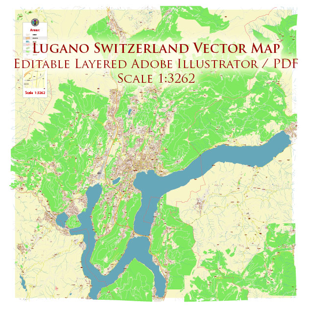
Lugano Switzerland Map Vector Accurate High Detailed City Plan editable Adobe Illustrator Street Map in layers
Layers list:
- Legend
- Grids
- Labels of roads
- Names of places (city, hamlet, etc.)
- Names of objects (hospitals, parks, water)
- Names of main streets
- Names of civil streets
- Arrows of street drive direction
- Main Streets, roads
- Civil streets
- Railroads
- Buildings
- Airports and heliports
- Water objects (rivers, lakes, ponds)
- Waterways
- Color fills (parks, hospital areas, land use, etc.)
- Background
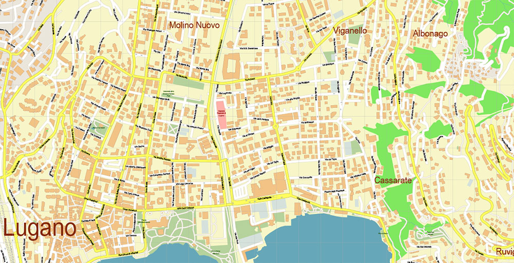
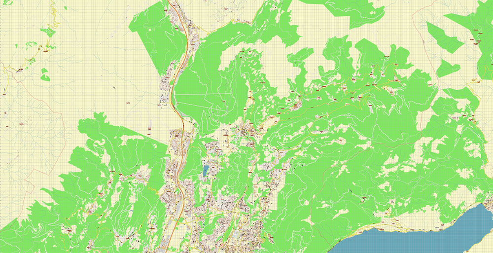
Lugano Switzerland DWG Map Vector Accurate High Detailed City Plan editable AutoCAD DWG Street Map in layers
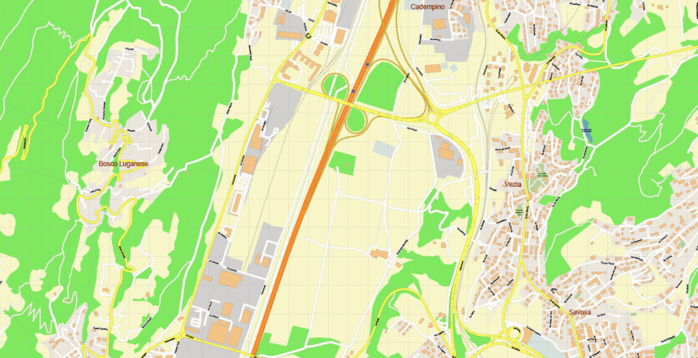
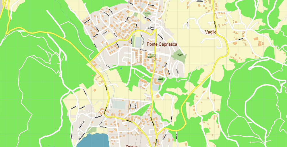
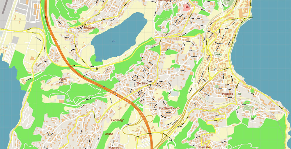
Lugano Switzerland DWG Map Vector Accurate High Detailed City Plan editable AutoCAD DWG Street Map in layers
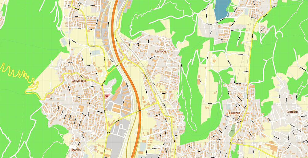
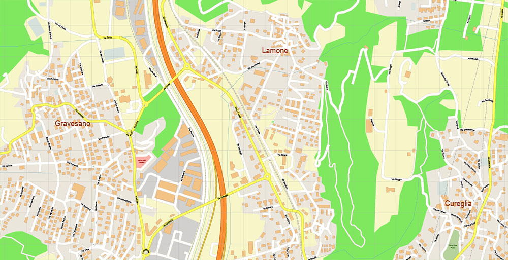
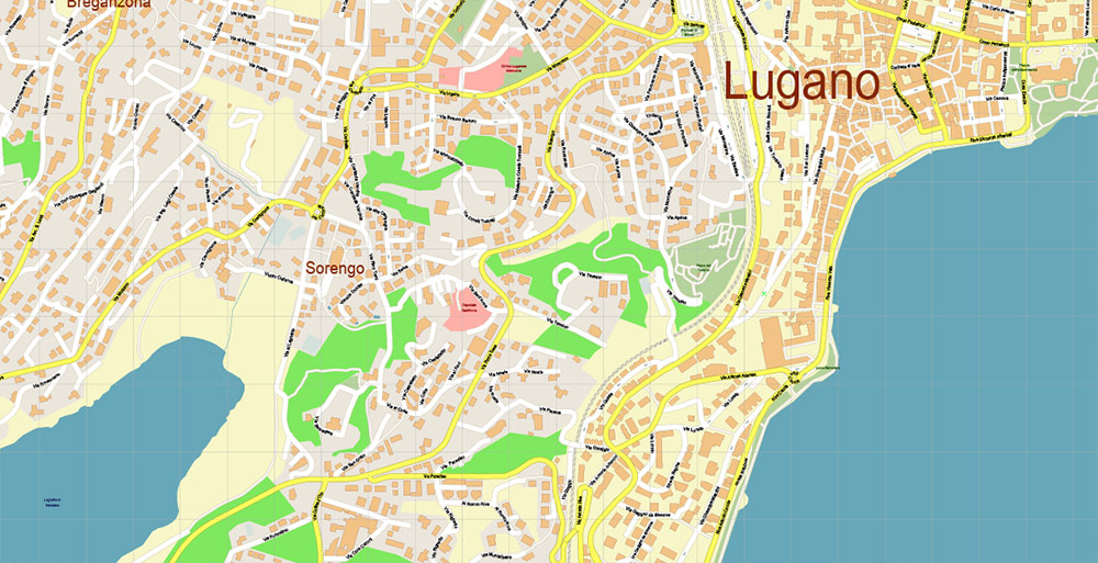
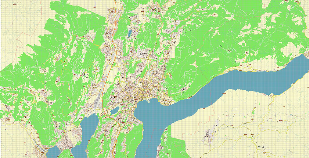
Lugano Switzerland DWG Map Vector Accurate High Detailed City Plan editable AutoCAD DWG Street Map in layers
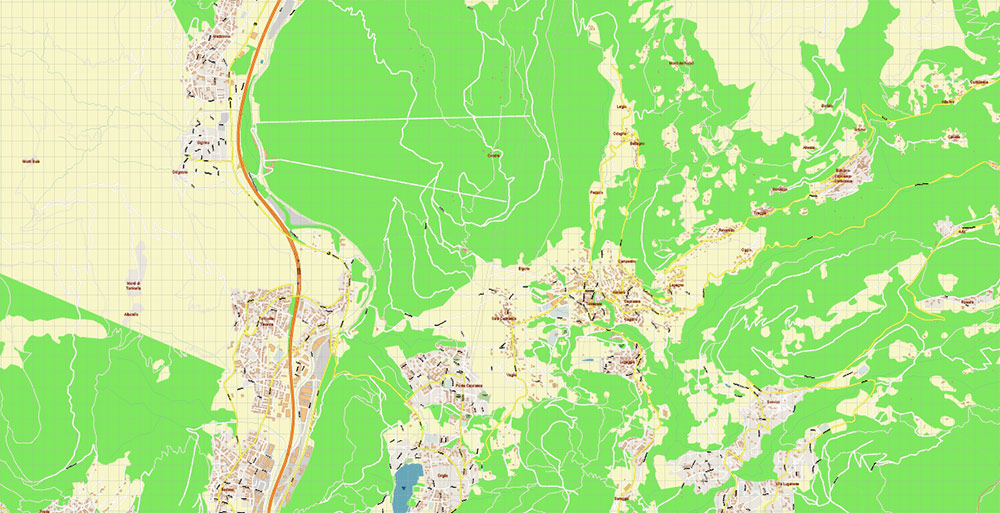
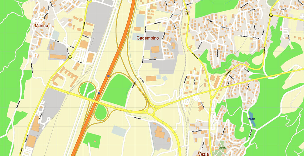
Lugano Switzerland DWG Map Vector Accurate High Detailed City Plan editable AutoCAD DWG Street Map in layers
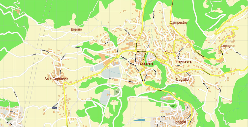
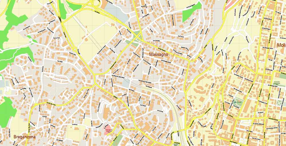
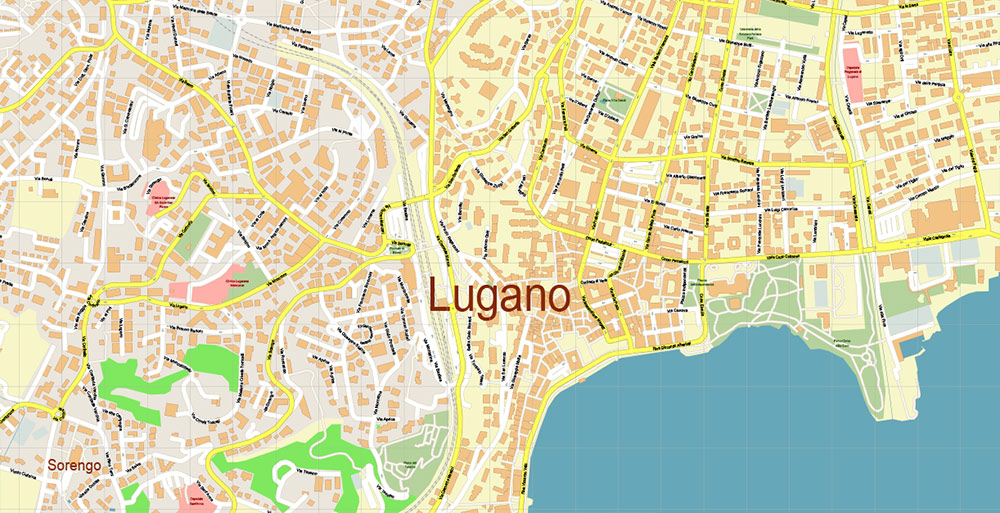
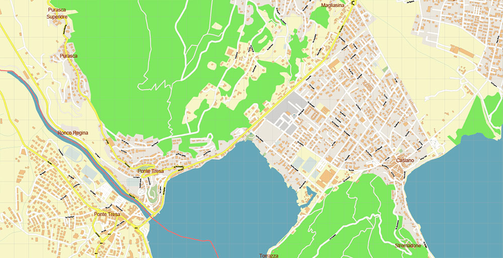
Lugano Switzerland DWG Map Vector Accurate High Detailed City Plan editable AutoCAD DWG Street Map in layers
Lugano Switzerland DWG Map Vector Accurate High Detailed City Plan editable AutoCAD DWG Street Map in layers
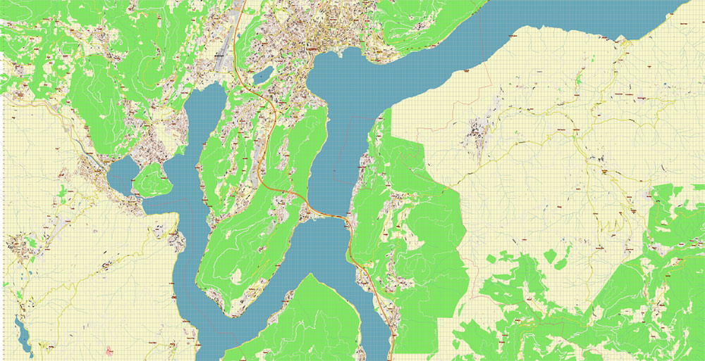
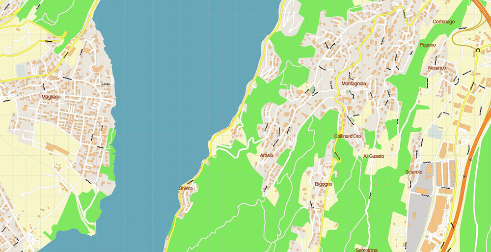
Lugano Switzerland DWG Map Vector Accurate High Detailed City Plan editable AutoCAD DWG Street Map in layers
Lugano Switzerland DWG Map Vector Accurate High Detailed City Plan editable AutoCAD DWG Street Map in layers
Lugano Switzerland DWG Map Vector Accurate High Detailed City Plan editable AutoCAD DWG Street Map in layers
Lugano Switzerland DWG Map Vector Accurate High Detailed City Plan editable AutoCAD DWG Street Map in layers
Lugano Switzerland DWG Map Vector Accurate High Detailed City Plan editable AutoCAD DWG Street Map in layers
Lugano Switzerland DWG Map Vector Accurate High Detailed City Plan editable AutoCAD DWG Street Map in layers
Lugano Switzerland DWG Map Vector Accurate High Detailed City Plan editable AutoCAD DWG Street Map in layers
Lugano Switzerland DWG Map Vector Accurate High Detailed City Plan editable AutoCAD DWG Street Map in layers
Lugano Switzerland DWG Map Vector Accurate High Detailed City Plan editable AutoCAD DWG Street Map in layers
Lugano Switzerland DWG Map Vector Accurate High Detailed City Plan editable AutoCAD DWG Street Map in layers
Lugano Switzerland DWG Map Vector Accurate High Detailed City Plan editable AutoCAD DWG Street Map in layers
Lugano Switzerland DWG Map Vector Accurate High Detailed City Plan editable AutoCAD DWG Street Map in layers
Lugano Switzerland DWG Map Vector Accurate High Detailed City Plan editable AutoCAD DWG Street Map in layers
Lugano Switzerland DWG Map Vector Accurate High Detailed City Plan editable AutoCAD DWG Street Map in layers

 Author: Kirill Shrayber, Ph.D. FRGS
 Street Map editable Adobe Illustrator in layers")