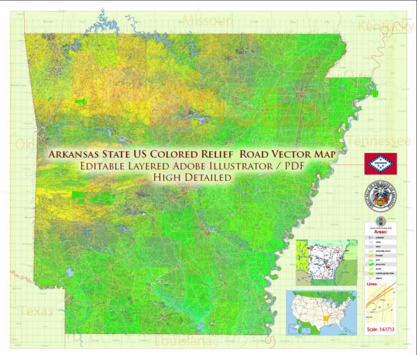
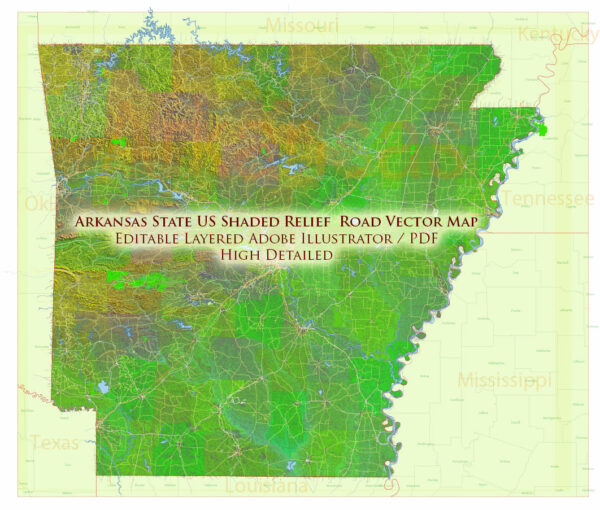
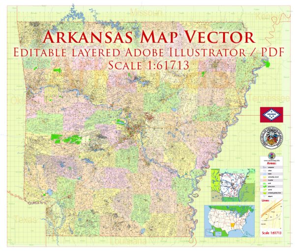
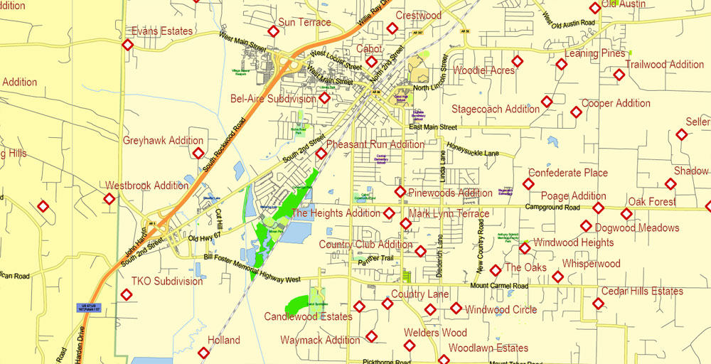
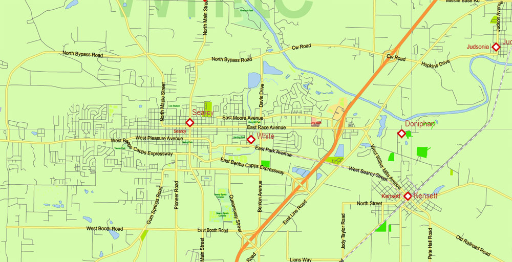
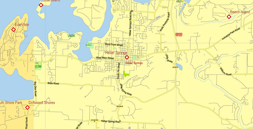
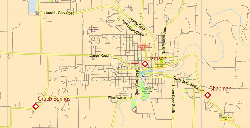
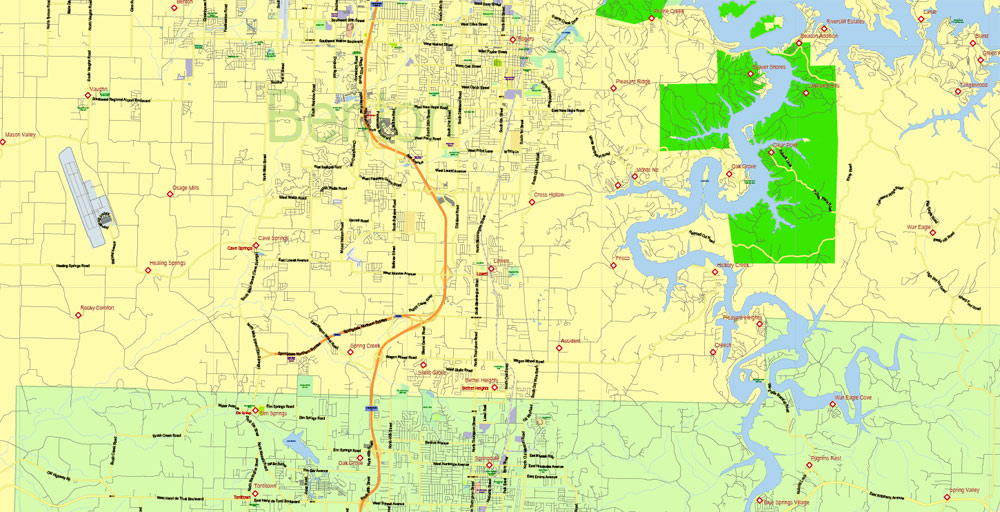
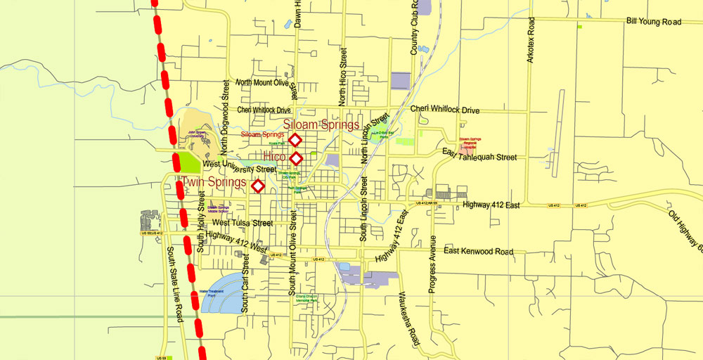
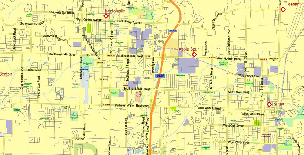
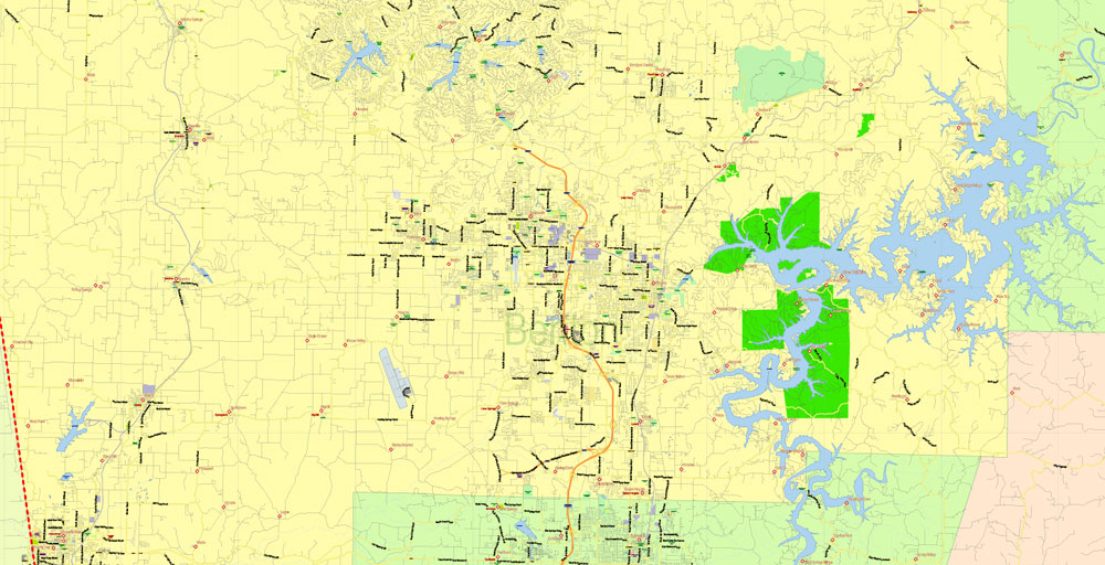
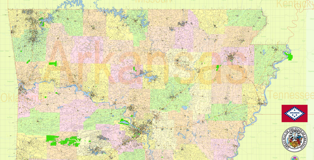
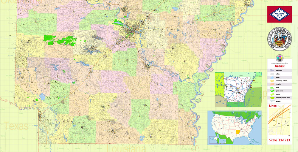
Printable Vector Map of Arkansas State US High Detailed Plan scale 1:61713 full editable Adobe Illustrator Road Admin Map in layers, scalable, text format all names, 37 MB ZIP
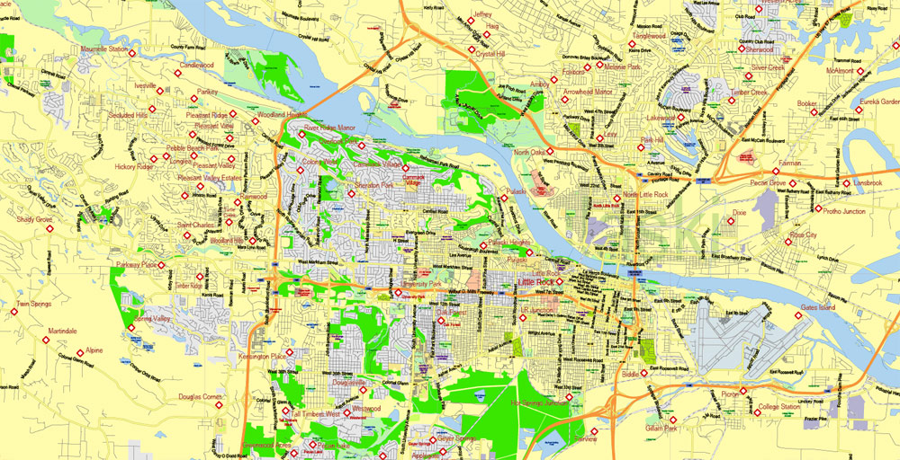
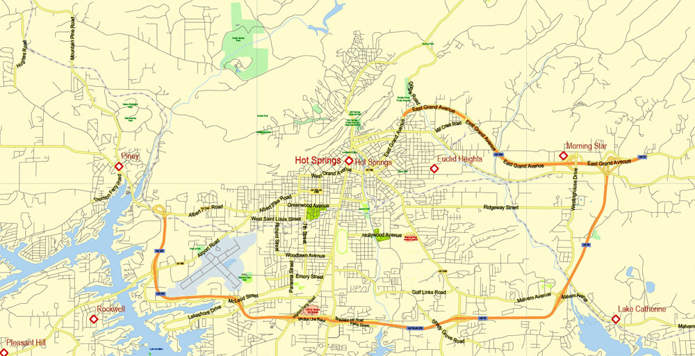
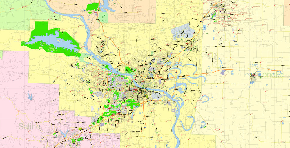
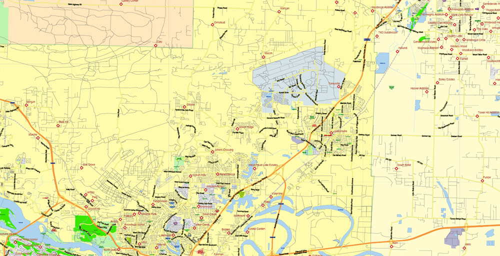
All streets and roads, Principal street names, All Cities and Towns, Main Objects, Counties. Map for design, printing, arts, projects, presentations, for architects, designers, and builders, business, logistics.
Layers: color_fills, water, main_streets_roads, civil_streets, labels_roads, counties_areas, state_areas, names_objects, names_streets, names_places, grids, legend, etc.
If you need: we can add postal codes layer (zip codes areas with numbers) to the map as a separated layer.
The most exact and detailed map of the state in scale.
For Editing and High-Quality Printing, Royalty free
TERMS AND CONDITIONS
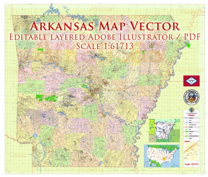
Arkansas US Map Vector Exact State Plan High Detailed Street Road Admin Map editable Adobe Illustrator in layers
Arkansas is the “natural state” of America, that is its unofficial name. It is located in the southern United States, in the depths of the continent, and borders only with other States – Louisiana, Texas, Oklahoma, Missouri, Tennessee, and Mississippi.
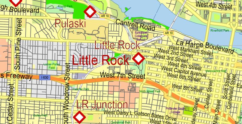
Arkansas US Map Vector Exact State Plan High Detailed Street Road Admin Map editable Adobe Illustrator in layers
The largest city and administrative center – Little Rock. The state is home to about three million people – for this parameter and the area of Arkansas is at the end of the third ten list of American States (32nd and 29th places, respectively).
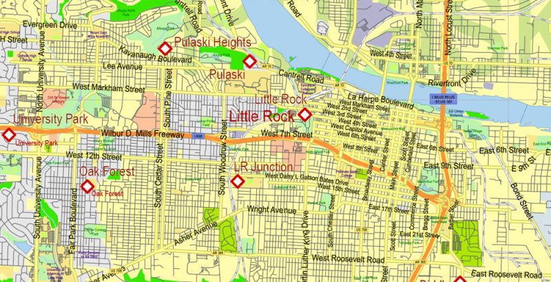
Arkansas US Map Vector Exact State Plan High Detailed Street Road Admin Map editable Adobe Illustrator in layers
Features of the state relief – hills and lowlands, occupying about half of the territory of Arkansas. Rivers Missouri, Mississippi, Arkansas flow through these lands. For some of them, for example, Mississippi and St. Francis are the borders of the state. Of the Ozark mountains and the Ouachita mountains located on both sides of the Arkansas river, however, a special vertex, they can not boast – they “limit”, the highest point is at an altitude of 850 meters above sea level.
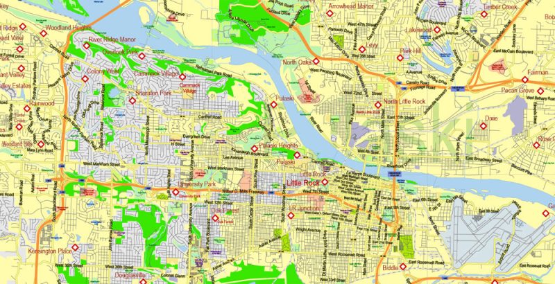
Arkansas US Map Vector Exact State Plan High Detailed Street Road Admin Map editable Adobe Illustrator in layers
The first Europeans visited the territory of Arkansas in the first half of the XVI century, and to the United States these lands were annexed in the early XIX century as a result of the so-called “Louisiana Purchase”, when the United States acquired the land of North America, owned by France – now it is the land of 15 States, about a third
Arkansas US Map Vector Exact State Plan High Detailed Street Road Admin Map editable Adobe Illustrator in layers
“Natural state” Arkansas was named in the 70-ies of the last century to attract tourists. In this way, the state authorities wanted to emphasize its natural heritage: the purity and abundance of rivers, lakes, valleys, hills, forests. And now here invite those who want to feel unity with nature, to get “trophies” on fishing or hunting, to travel on the rivers, forest and mountain tracks. Or climb into one of the caves in Blanchard springs, all in the state there are more than 40 thousand caves.
Arkansas US Map Vector Exact State Plan High Detailed Street Road Admin Map editable Adobe Illustrator in layers
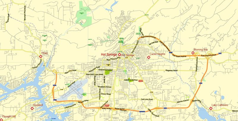
One of the national parks – located in the center of hot springs, known for its hot mineral springs on the hillside of the same name. Near a hospital and a lake of Ouachita, rich in fish.
Arkansas US Map Vector Exact State Plan High Detailed Street Road Admin Map editable Adobe Illustrator in layers
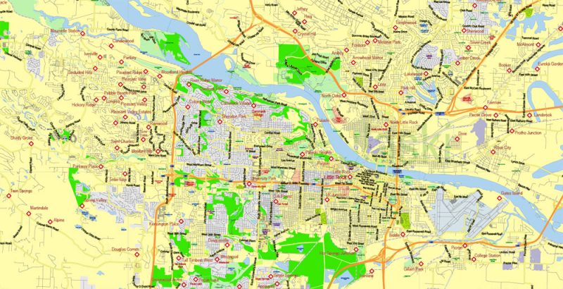
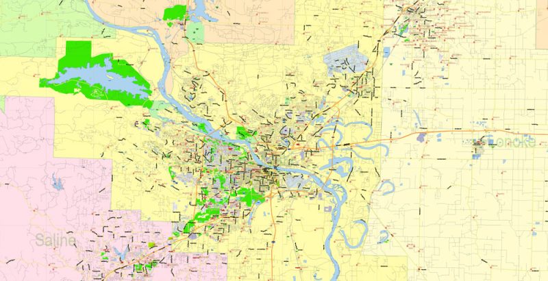
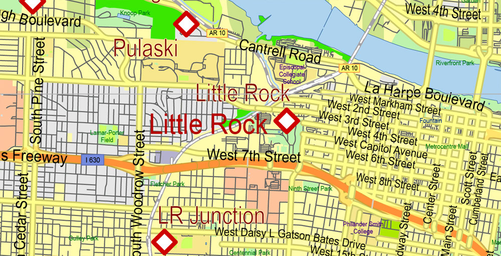
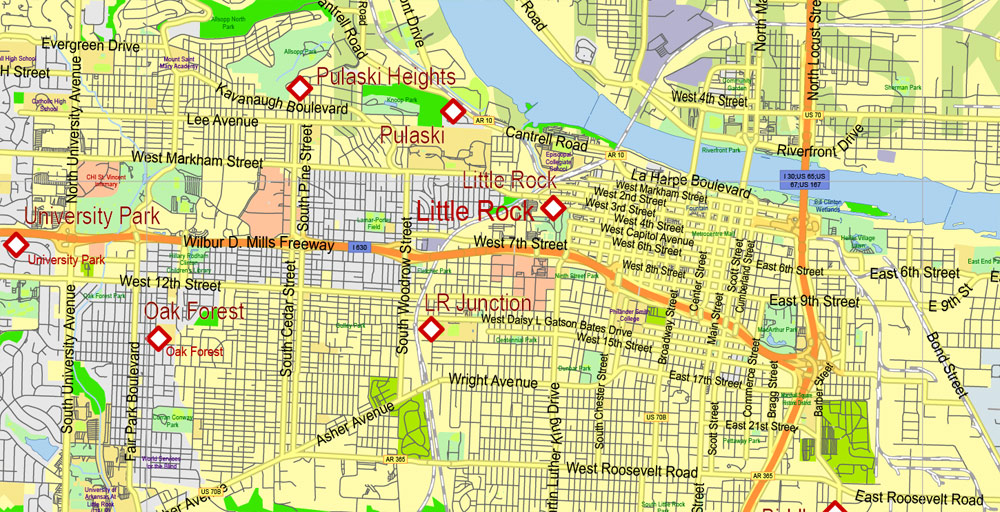
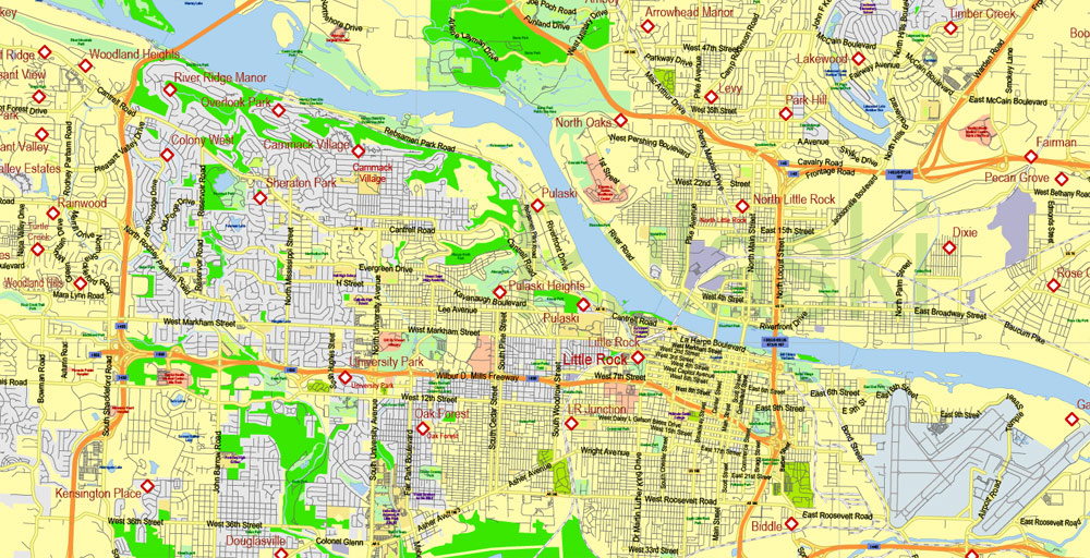
In the capital of Arkansas, Little Rock, you can walk through the streets, which filmed scenes from the movie “gone with the wind”, visit the Capitol – the same as in Washington, only a little less, visit the presidential center of Bill Clinton, a native of the state (born in hope), the Museum of Douglas MacArthur – American warlord during the Second World war, other museums, the art center, zoo and water Park “willow springs”. In Little Rock is the longest bridge in North America – a big Dam length of almost 1.3 kilometers, mainly for cyclists.
Arkansas US Map Vector Exact State Plan High Detailed Street Road Admin Map editable Adobe Illustrator in layers
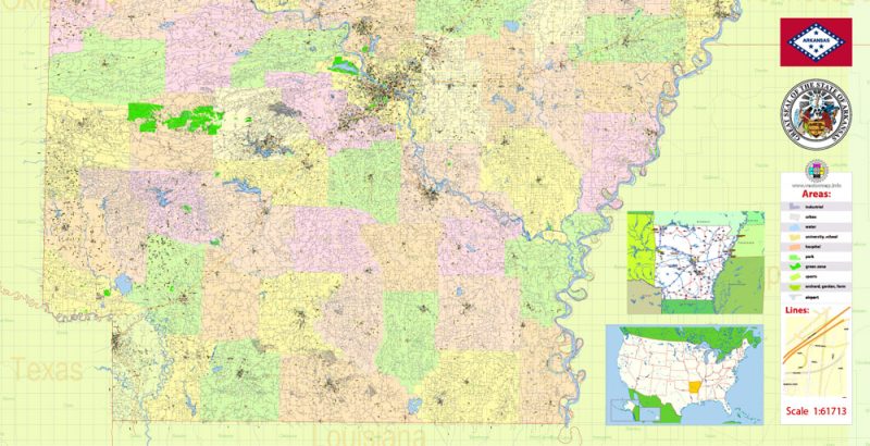
Arkansas US Map Vector Exact State Plan High Detailed Street Road Admin Map editable Adobe Illustrator in layers
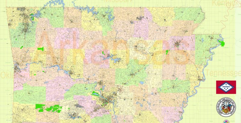
Arkansas US Map Vector Exact State Plan High Detailed Street Road Admin Map editable Adobe Illustrator in layers
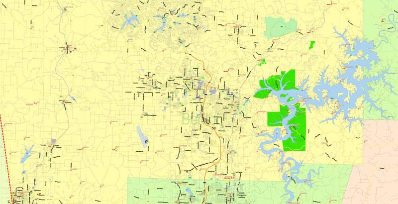
Arkansas US Map Vector Exact State Plan High Detailed Street Road Admin Map editable Adobe Illustrator in layers
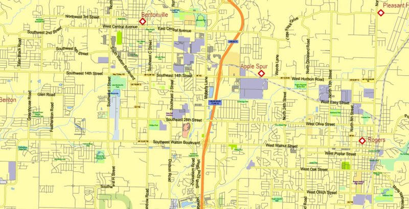
Arkansas US Map Vector Exact State Plan High Detailed Street Road Admin Map editable Adobe Illustrator in layers
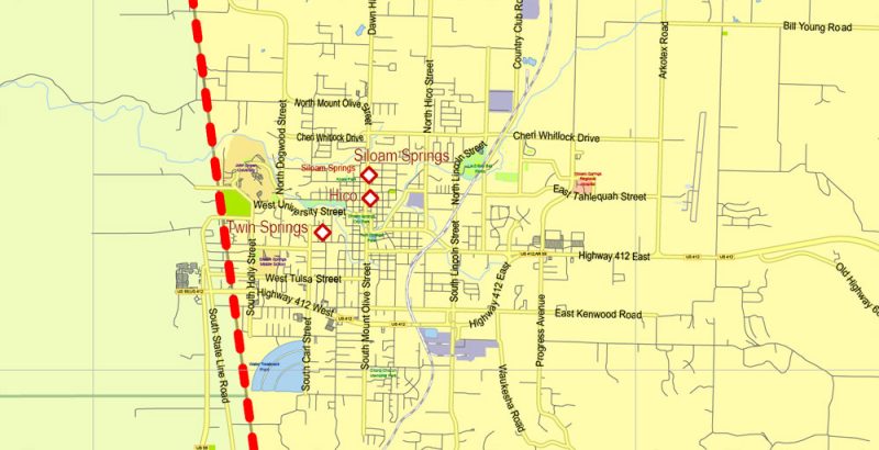
Arkansas US Map Vector Exact State Plan High Detailed Street Road Admin Map editable Adobe Illustrator in layers
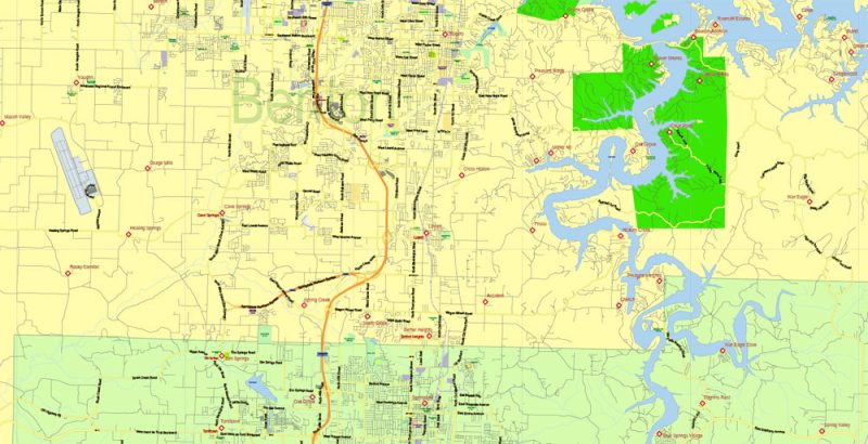
Arkansas US Map Vector Exact State Plan High Detailed Street Road Admin Map editable Adobe Illustrator in layers
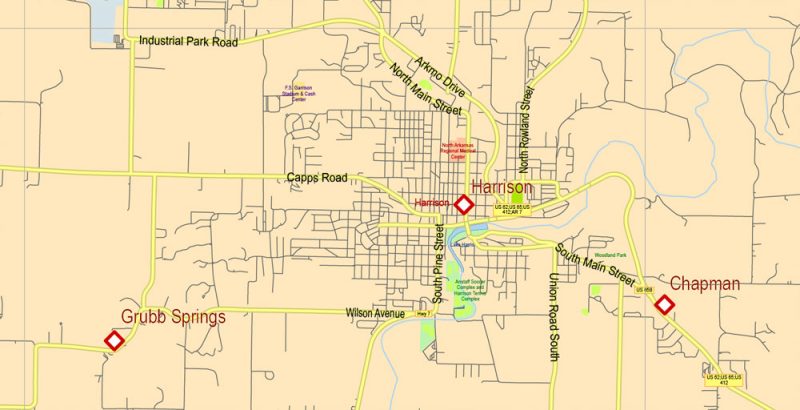
Arkansas US Map Vector Exact State Plan High Detailed Street Road Admin Map editable Adobe Illustrator in layers
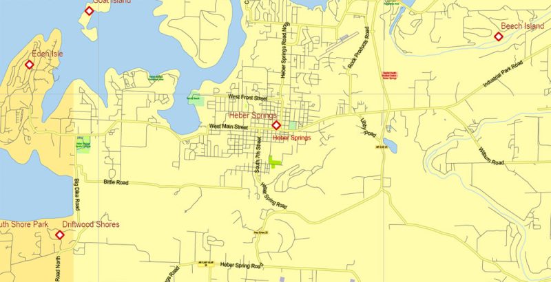
Arkansas US Map Vector Exact State Plan High Detailed Street Road Admin Map editable Adobe Illustrator in layers
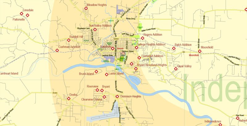
Arkansas US Map Vector Exact State Plan High Detailed Street Road Admin Map editable Adobe Illustrator in layers
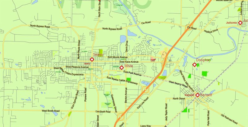
Arkansas US Map Vector Exact State Plan High Detailed Street Road Admin Map editable Adobe Illustrator in layers
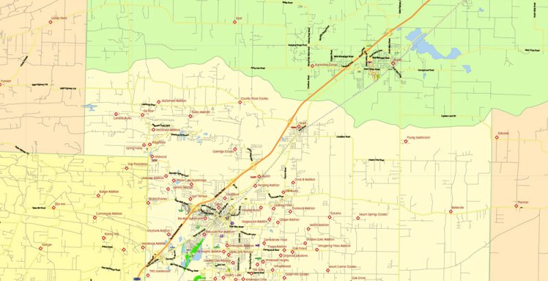
Arkansas US Map Vector Exact State Plan High Detailed Street Road Admin Map editable Adobe Illustrator in layers
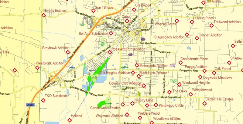
Arkansas US Map Vector Exact State Plan High Detailed Street Road Admin Map editable Adobe Illustrator in layers
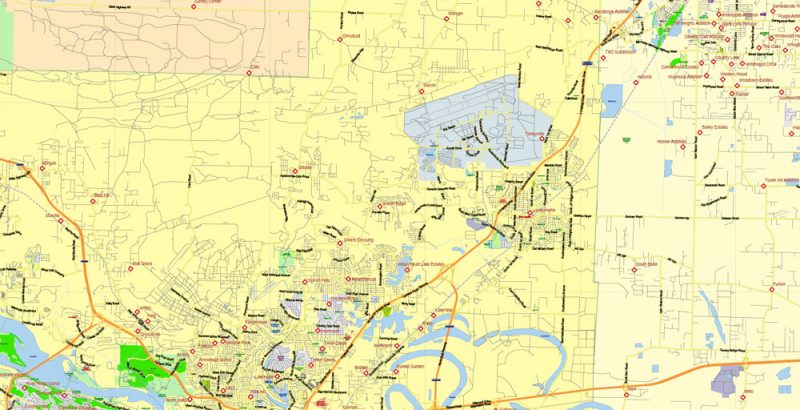
Arkansas US Map Vector Exact State Plan High Detailed Street Road Admin Map editable Adobe Illustrator in layers
Author Rating
Aggregate Rating
no rating based on 0 votes
@vectormapper
Product Name Arkansas US Map Vector Exact State Plan High Detailed Street Road Admin Map editable Adobe Illustrator in layers
Price
USD 53
Product Availability
Available in Stock







 Author: Kirill Shrayber, Ph.D. FRGS