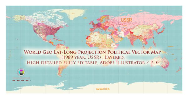
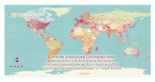
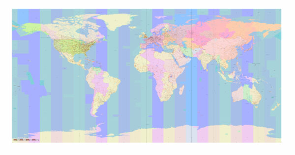
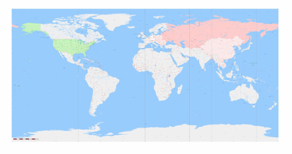
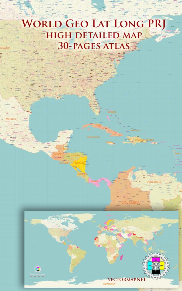
Explore a curated collection of high-quality World Geo Latitude-Longitude Projection Maps, available in both PDF and Adobe Illustrator (AI) formats. These maps use the clean, gridded Geographical Lat-Long (Plate Carrée) projection, ideal for design work requiring precision, global alignment, and editable vector layers.
Perfect for graphic designers, illustrators, and cartographers, each map provides fully scalable vector outlines of continents, countries, and graticules—ready for custom styling, overlays, or data visualizations in your creative projects.
Download once and use in print, web, UI design, infographics, or editorial layouts with confidence and control.
Geographical Latitude-Longitude Projection (Plate Carrée)
The Geographical Lat-Long projection is one of the simplest map projections. It maps the Earth’s surface using a rectangular grid where:
Latitude (φ) is plotted on the vertical (Y) axis
Longitude (λ) is plotted on the horizontal (X) axis
Each degree of latitude and longitude is treated as if it covers the same linear distance, resulting in a uniform grid of squares.
Key Features:
Type: Cylindrical (Equirectangular)
Projection center: Usually at (0°, 0°)
Straight meridians and parallels, forming a grid of rectangles
No distortion at the equator, but distortion increases toward the poles
Not conformal or equal-area — it’s a compromise, often used for quick plotting
Use Cases:
Data visualization (e.g., satellite images, raster maps)
Simple GIS tasks
Educational maps where ease of understanding is more important than accuracy
Used by many global datasets and image-based projections (e.g., NASA Blue Marble)
Analogy:
Think of wrapping the Earth in graph paper where each box represents 1° by 1°, even though the real surface area of those boxes varies with latitude.

 Author: Kirill Shrayber, Ph.D. FRGS