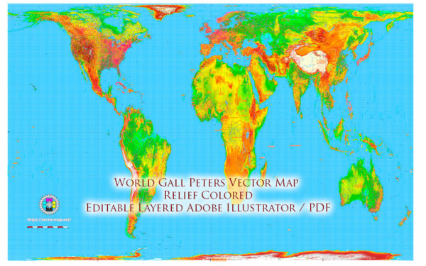
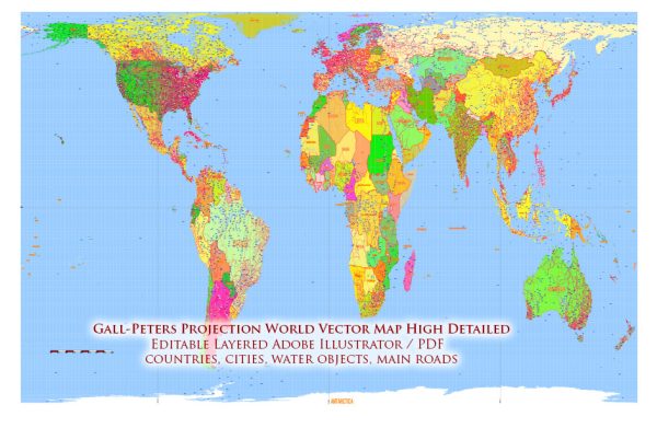
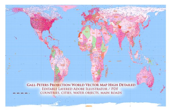
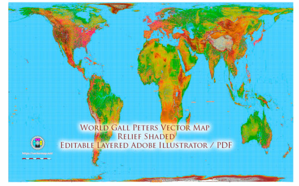
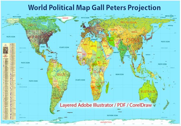
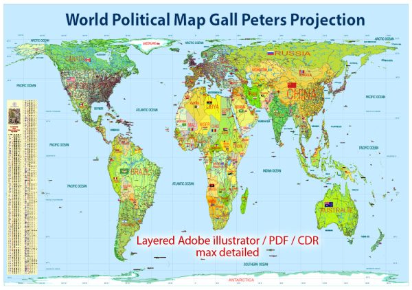
Vector World Maps in Gall–Peters projection : rectangular, equal-area map projection. Like all equal-area projections, it distorts most shapes. It is a cylindrical equal-area projection with latitudes 45° north and south as the regions on the map that have no distortion. The projection is named after James Gall and Arno Peters.
Download royalty free, editable vector maps of Vector World Maps in Gall–Peters projection in high resolution digital PDF and Adobe Illustrator format.
The Gall–Peters projection is a rectangular, equal-area map projection. Like all equal-area projections, it distorts most shapes. It is a cylindrical equal-area projection with latitudes 45° north and south as the regions on the map that have no distortion.
The projection is named after James Gall and Arno Peters. Gall described the projection in 1855 at a science convention and published a paper on it in 1885.[1] Peters brought the projection to a wider audience beginning in the early 1970s through his “Peters World Map”. The name “Gall–Peters projection” was first used by Arthur H. Robinson in a pamphlet put out by the American Cartographic Association in 1986.
Maps based on the projection are promoted by UNESCO, and they are also widely used by British schools. The U.S. state of Massachusetts and Boston Public Schools began phasing in these maps in March 2017, becoming the first public school district and state in the United States to adopt Gall–Peters maps as their standard.
The Gall–Peters projection achieved notoriety in the late 20th century as the centerpiece of a controversy about the political implications of map design.

 Author: Kirill Shrayber, Ph.D. FRGS