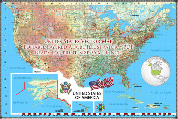
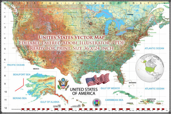
Vector Maps of the United States : country of 50 states covering a vast swath of North America, with Alaska in the northwest and Hawaii extending the nation’s presence into the Pacific Ocean. Major Atlantic Coast cities are New York, a global finance and culture center, and capital Washington, DC. Midwestern metropolis Chicago is known for influential architecture and on the west coast, Los Angeles’ Hollywood is famed for filmmaking.
Area:
• Total area: 3,796,742 sq mi (9,833,520 km2) (3rd/4th)
• Water: (%) 4.66
• Total: land area 3,531,905 sq mi (9,147,590 km2)
Instant download archives: royalty free, editable vector maps of United States in high resolution digital PDF and Adobe Illustrator format.
All of our editable United States vector maps are digital files,
which can be instantly downloaded in editable PDF or Adobe Illustrator format.
Objects on maps are usually divided into layers according to their types – lines, polygons, street names, object names (see map description!!!!)
Each of our United States digital maps is available in Adobe Illustrator or editable PDF format, (or on request in any other known format for the same price)
which use a vector approach to display images,
you can easily enlarge any part of our maps without compromising text, line or graphic quality,
with any increase or decrease ratio.
Using a vector graphics editor such as Adobe Illustrator, CorelDraw, Inkscape, or Freehand
you can easily crop parts of the map, add custom characters, and change colors and font attributes as needed.
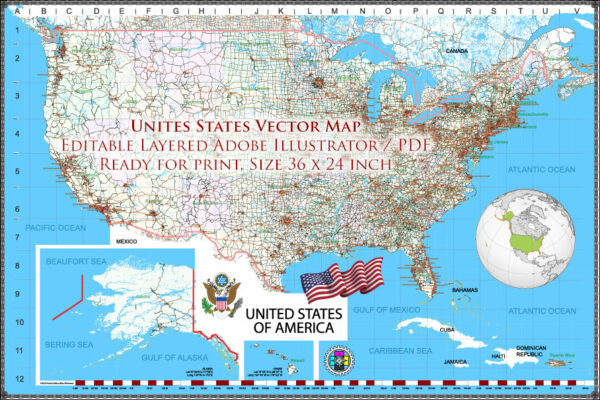
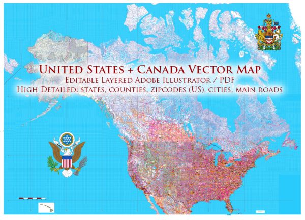
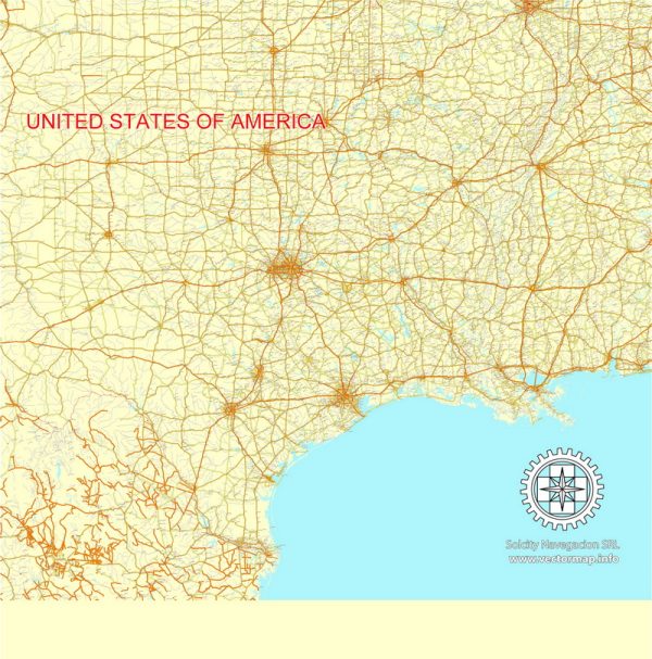
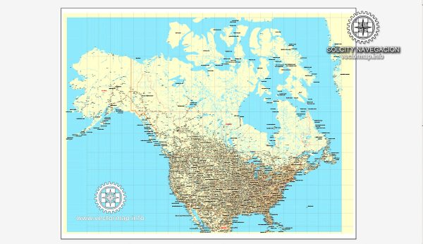
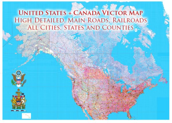
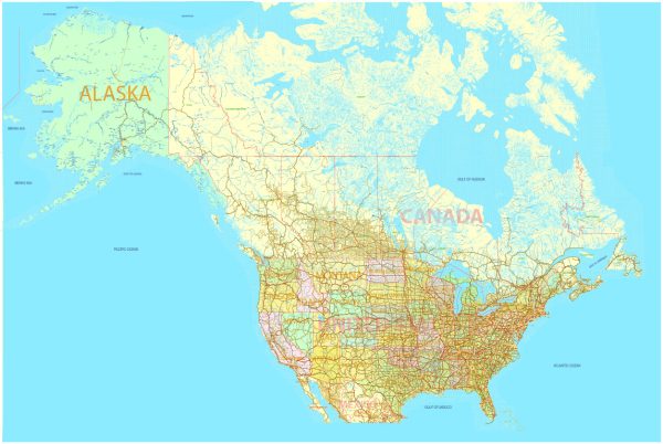
We have a variety of United States vector maps with different levels of detail, from simple empty paths to highly detailed maps with roads and terrain layers.
Road system of the United States
The road system of the United States is extensive and complex, consisting of a network of highways, roads, and streets that connect cities, towns, and rural areas across the country. Here are some key features of the road system in the United States:
Interstate Highways: The Interstate Highway System is a network of limited-access highways that spans the country, connecting major cities and regions. The system was created in the 1950s as a way to improve transportation and national defense. The Interstate Highways are designated with the prefix “I” and are numbered sequentially.
U.S. Highways: U.S. Highways are a network of federal highways that serve as major arteries for long-distance travel across the country. They are designated with the prefix “U.S.” and are numbered according to a nationwide system.
State Highways: Each state has its own system of highways, which connect cities, towns, and rural areas within the state. State highways are typically designated with a two-digit number, with the first digit indicating the region of the state.
County Roads: County roads are maintained by county governments and are typically used for local traffic, connecting rural areas and smaller towns. They are designated with a three-digit number, with the first digit indicating the county.
City Streets: City streets make up the local road network in urban areas and are typically maintained by city governments. They are often designated with names or numbers, depending on the local system.
Overall, the road system in the United States is a complex and extensive network that facilitates transportation and commerce across the country. The system includes a range of different types of roads, from limited-access highways to local streets, and is constantly evolving to meet the needs of a growing and changing population.
History of the US Cartography
The history of cartography in the United States can be traced back to the early colonial period when European explorers and settlers first arrived in the Americas. Here are some key events and developments in the history of cartography in the United States:
Colonial Period: During the 16th and 17th centuries, European explorers and settlers created some of the first maps of North America. These early maps were often crude and inaccurate, but they provided important information about the geography and resources of the continent.
Revolutionary War: During the American Revolution, maps were used to plan military campaigns and to communicate information about troop movements and battle plans. The British Army, for example, produced detailed maps of the American colonies in order to plan its military strategy.
Early National Period: In the early 19th century, the United States government began to invest in the creation of more accurate and detailed maps. The government sponsored expeditions to explore and survey the western territories, and these surveys produced some of the first detailed maps of the western United States.
Civil War: During the Civil War, maps were used extensively by both Union and Confederate forces to plan military campaigns and to communicate information about troop movements and battle plans. The Union Army, for example, produced detailed maps of the Confederate states in order to plan its military strategy.
20th Century: In the 20th century, advances in technology, such as aerial photography and satellite imagery, revolutionized the field of cartography. The United States government sponsored a series of mapping projects, including the creation of detailed topographic maps of the entire country.
Today, cartography is an important tool for a wide range of fields, including geography, urban planning, environmental science, and military strategy. The United States is home to some of the world’s leading cartographers and mapping organizations, including the United States Geological Survey and the National Geographic Society.
Water System of the United States
The water system of the United States is an extensive network of rivers, lakes, reservoirs, aquifers, and other bodies of water that provide drinking water, irrigation, and recreational opportunities for millions of people across the country. Here are some key features of the water system in the United States:
Major Rivers: The United States is home to many major rivers, including the Mississippi River, the Colorado River, and the Columbia River. These rivers provide important transportation routes, hydroelectric power, and recreational opportunities.
Great Lakes: The Great Lakes, which are located on the border between the United States and Canada, are the largest group of freshwater lakes in the world. They provide drinking water to millions of people and support a wide range of commercial and recreational activities.
Aquifers: Aquifers are underground water reservoirs that provide a significant portion of the drinking water in the United States. Some of the largest aquifers in the country include the Ogallala Aquifer in the Great Plains and the Floridan Aquifer in the southeastern United States.
Reservoirs: Reservoirs are artificial lakes created by damming rivers or streams. They are used to store water for irrigation, hydroelectric power, and drinking water. Some of the largest reservoirs in the country include Lake Mead and Lake Powell in the western United States.
Water Treatment Plants: Water treatment plants are facilities that treat and purify water for human consumption. There are thousands of water treatment plants in the United States, ranging from small community systems to large municipal systems that serve millions of people.
Overall, the water system in the United States is a complex and vital network that provides essential resources and services to millions of people. The system faces a range of challenges, including aging infrastructure, drought, and pollution, and is constantly evolving to meet the needs of a growing and changing population.
Railroad System of the United States
The railroad system of the United States is an extensive network of railways that transport goods and people across the country. Here are some key features of the railroad system in the United States:
Class I Railroads: Class I Railroads are the largest and most prominent railroads in the United States. There are seven Class I Railroads, which include BNSF Railway, Union Pacific Railroad, and CSX Transportation. These railroads operate over long distances and transport large volumes of freight, such as coal, grain, and manufactured goods.
Short Line Railroads: Short Line Railroads are smaller, regional railroads that operate over shorter distances and serve local industries. There are hundreds of Short Line Railroads in the United States, which provide connections to larger railroads and help to transport goods to smaller towns and rural areas.
Passenger Rail: Passenger rail service in the United States includes both commuter rail and long-distance Amtrak service. Commuter rail provides transportation to and from urban centers, while Amtrak provides long-distance travel across the country.
Intermodal Transportation: Intermodal transportation involves the movement of goods using multiple modes of transportation, such as rail, truck, and ship. Rail is a key component of intermodal transportation in the United States, with railroads providing transportation for containers and trailers that are transferred between trains and trucks.
Infrastructure: The infrastructure of the railroad system in the United States includes tracks, switches, signals, and other equipment that enable trains to operate safely and efficiently. Railroads also maintain a network of terminals and yards where trains are loaded and unloaded.
Overall, the railroad system in the United States is an important component of the country’s transportation network, providing a vital link for the movement of goods and people across the country. The system faces a range of challenges, including competition from other modes of transportation, aging infrastructure, and the need for increased safety and efficiency.
Geography of the United States
The geography of the United States is diverse and encompasses a wide range of landscapes, from coastal plains and mountains to deserts and forests. Here are some key features of the geography of the United States:
Mountains: The Rocky Mountains and the Appalachian Mountains are two major mountain ranges in the United States. The Rocky Mountains run from Canada to Mexico and include peaks such as Mount Elbert, which is the highest point in Colorado. The Appalachian Mountains run along the eastern coast of the United States, from Maine to Alabama.
Plains: The Great Plains are a vast, flat region in the central United States that extends from Texas to Canada. The region is known for its agricultural productivity and is home to a wide range of crops, including wheat, corn, and soybeans.
Coasts: The United States has two main coasts, the Atlantic Coast and the Pacific Coast. The Atlantic Coast is characterized by long, sandy beaches and includes major cities such as New York and Miami. The Pacific Coast is known for its rugged coastline and includes cities such as San Francisco and Los Angeles.
Rivers: The United States is home to many major rivers, including the Mississippi River, the Colorado River, and the Columbia River. These rivers provide important transportation routes, hydroelectric power, and recreational opportunities.
Deserts: The United States has several major deserts, including the Mojave Desert, the Sonoran Desert, and the Chihuahuan Desert. These regions are characterized by their arid climates and sparse vegetation.
Lakes: The United States has many major lakes, including the Great Lakes, which are located on the border between the United States and Canada. These lakes provide drinking water to millions of people and support a wide range of commercial and recreational activities.
Overall, the geography of the United States is varied and complex, with many different landscapes and ecosystems. The geography of the country has played an important role in shaping its history and culture, and continues to be a significant factor in its economy and way of life.
Don’t see exactly what you’re looking for? Contact us to receive a special offer for an individual United States map for your project.

 Author: Kirill Shrayber, Ph.D.