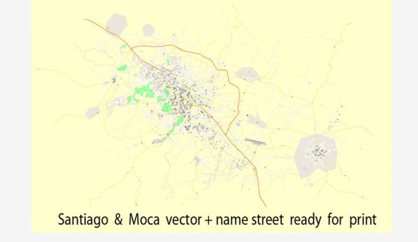
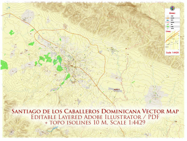
Vector Maps of the Santiago de los Caballeros : city in the north of the Dominican Republic. On a hilltop, the 1944 Monumento de Santiago, topped by a white column, is dedicated to the heroes of the Dominican Restoration War. Dominican art is displayed at the Centro León cultural center. The 17th-century Fortaleza San Luis is now a museum, with tanks and military equipment. Park Duarte has paths, tropical trees and a bandstand.
Area: 524 km²
Elevation: 175 m
Vector Maps of the Moca : the capital of Espaillat province in the Cibao region of the Dominican Republic, and is the tenth-largest city of the country with a population of 173,442 inhabitants. Moca is located 11 miles/18 kilometers east from the country’s second-largest city, Santiago.
Elevation: 183 m
Area: 239.4 km²
Download royalty free, editable vector maps of Santiago de los Caballeros and Moca Dominican Republic in high resolution digital PDF and Adobe Illustrator format.
Vector Map — Santiago Moca Dominicana
An accurate vector map of Santiago Moca Dominicana that keeps hierarchy under control when scaling from A3 to A0. The file accepts custom grids, legends and callouts without redrawing base content. Bridges, tunnels and ferry lines are isolated so routes remain legible after recolor. Named layers let you restyle colors, line weights and label classes without cleanup passes. District and neighborhood labels are arranged to avoid collisions around dense cores. Waterfronts and parks receive extra separation for better contrast on light palettes.
Ideal for signage, event maps, campus leaflets and waterfront brochures. Saves prepress time by reducing manual fixes and keeping the visual system consistent. Export presets help maintain crisp strokes on both coated and uncoated paper. Editors can brand the palette and icons, then export sharp results for both print and web.


 Author: Kirill Shrayber, Ph.D. FRGS