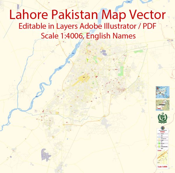
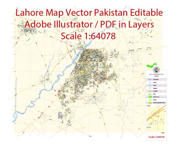
Vector Maps of the Lahore : capital of the Pakistani province of Punjab and is the country’s 2nd largest city after Karachi, as well as the 26th largest city in the world. Lahore is one of Pakistan’s wealthiest cities.
Area: 1,772 km²
Elevation: 217 m
Download royalty free, editable vector maps of Lahore Pakistan in high resolution digital PDF and Adobe Illustrator format.
Here is an overview of the infrastructure in Lahore, Pakistan. Vectormap.Net provide you with the most accurate and up-to-date vector maps in Adobe Illustrator, PDF and other formats, designed for editing and printing. Please read the vector map descriptions carefully.
Transportation:
- Roads and Highways:
- Lahore has an extensive road network, including major highways like the M2 Motorway connecting it to Islamabad and the M3 Motorway connecting it to Faisalabad. Ring Road Lahore facilitates smooth traffic flow around the city.
- Public Transportation:
- Lahore has a public bus system, and the Lahore Metrobus, a Bus Rapid Transit (BRT) system, provides a fast and efficient means of transportation. The Lahore Orange Line Metro Train, a rapid transit system, connects various parts of the city.
- Railways:
- The Lahore Junction is a major railway station connecting the city to various parts of Pakistan.
- Air Transport:
- Allama Iqbal International Airport is the primary airport serving Lahore, connecting it to domestic and international destinations.
Utilities:
- Electricity:
- Lahore receives electricity from the national grid. Load shedding (scheduled power cuts) was a challenge, but efforts have been made to address this issue.
- Water Supply:
- The Water and Sanitation Agency (WASA) is responsible for water supply and sanitation in Lahore. Adequate water supply is a concern, and there have been efforts to improve infrastructure for water provision.
- Gas Supply:
- Natural gas is supplied to Lahore for domestic and industrial use.
Healthcare:
- Hospitals:
- Lahore has numerous hospitals and medical facilities, including government hospitals like Jinnah Hospital and private hospitals like Shaukat Khanum Memorial Cancer Hospital & Research Centre.
- Medical Education:
- Lahore is a hub for medical education with institutions like King Edward Medical University and Allama Iqbal Medical College.
Education:
- Universities:
- Lahore is home to several universities, including the University of the Punjab, Lahore University of Management Sciences (LUMS), and COMSATS Institute of Information Technology.
- Schools:
- The city has a vast network of schools, ranging from government schools to private and international schools.
Communication:
- Telecommunications:
- Lahore has a well-established telecommunication infrastructure with widespread availability of landline and mobile services.
- Internet and Broadband:
- High-speed internet and broadband services are widely available, connecting residents to global information networks.
Commercial and Residential Infrastructure:
- Commercial Centers:
- Lahore has bustling commercial centers, including Liberty Market, Anarkali Bazaar, and Packages Mall, offering a wide range of retail options.
- Residential Areas:
- The city is characterized by a mix of residential areas ranging from upscale neighborhoods like DHA (Defence Housing Authority) to more middle-class localities like Johar Town.
Cultural and Recreational Facilities:
- Cultural Venues:
- Lahore boasts cultural venues such as Alhamra Arts Council, which hosts various cultural events.
- Parks and Recreation:
- The city has several parks, including Shalimar Gardens, Iqbal Park, and Jilani Park, providing recreational spaces for residents.
Challenges and Developments:
- Traffic Congestion:
- Lahore faces challenges related to traffic congestion, and efforts have been made to improve public transportation systems.
- Infrastructure Development:
- The city has witnessed ongoing infrastructure development projects, including the Lahore Orange Line Metro Train and the expansion of road networks.
It’s essential to note that infrastructure is dynamic, and changes and improvements are likely to have occurred since my last update. For the latest information, it’s recommended to check with local authorities or recent sources.


 Author: Kirill Shrayber, Ph.D.