
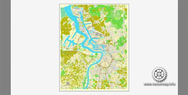
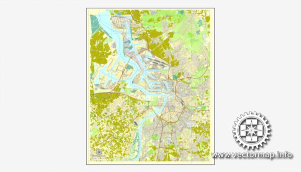
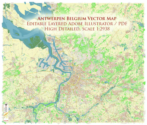
Vector Map — Antwerp Belgium
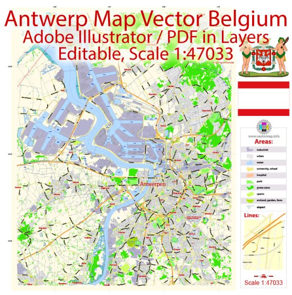
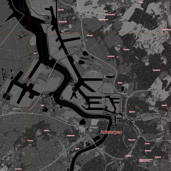
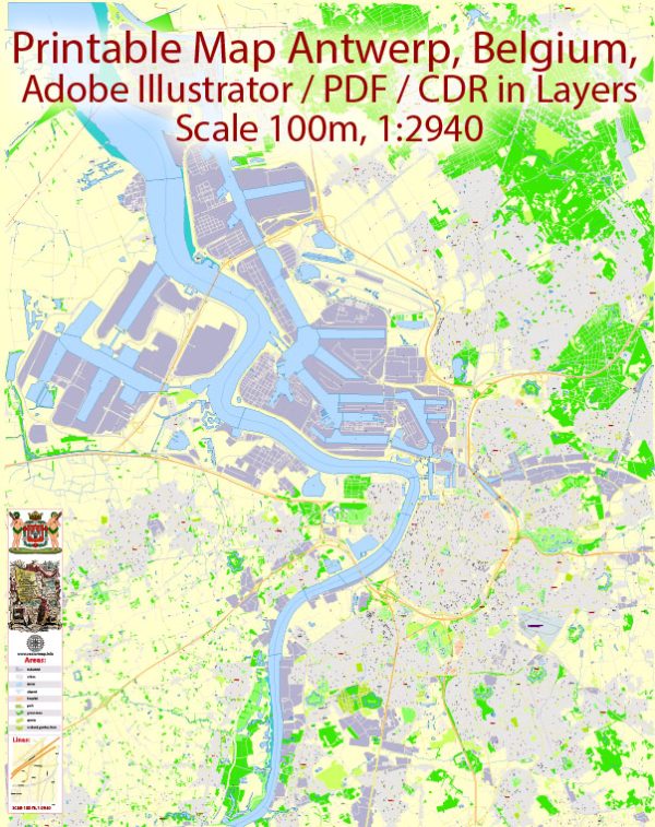
An accurate vector map of Antwerp Belgium that keeps hierarchy under control when scaling from A3 to A0. Contours and landuse layers can be toggled to match tourism or planning use cases. Waterfronts and parks receive extra separation for better contrast on light palettes. Crisp vectors preserve edges at high DPI and export compactly for web delivery. Layer structure separates arterials and locals, districts, hydrography, parks and landmarks. Bridges, tunnels and ferry lines are isolated so routes remain legible after recolor.
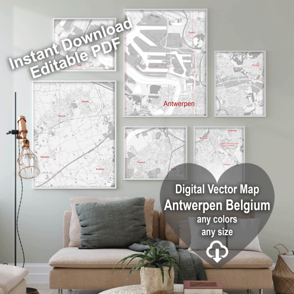
Use it for visitor guides, city infographics, investment decks and municipal communications. Ideal for signage, event maps, campus leaflets and waterfront brochures. Legibility holds up on handheld leaflets and large lobby posters alike. Keeps labels readable while allowing deep customization of routes and highlights. Color systems can be swapped quickly to match seasonal or brand variants.
 Author: Kirill Shrayber, Ph.D. FRGS