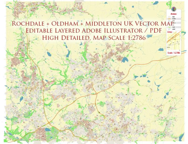
Instant download archives: royalty free, editable vector maps of Rochdale + Oldham + Middleton Area UK in high resolution digital PDF and Adobe Illustrator format.
All of our editable Rochdale + Oldham + Middleton Area UK vector maps are digital files,
which can be instantly downloaded in editable PDF or Adobe Illustrator format.
Objects on maps are usually divided into layers according to their types – lines, polygons, street names, object names (see map description!!!!)
Each of our Rochdale + Oldham + Middleton Area UK digital maps is available in Adobe Illustrator or editable PDF format, (or on request in any other known format for the same price)
which use a vector approach to display images,
you can easily enlarge any part of our maps without compromising text, line or graphic quality,
with any increase or decrease ratio.
Using a vector graphics editor such as Adobe Illustrator, CorelDraw, Inkscape, or Freehand
you can easily crop parts of the map, add custom characters, and change colors and font attributes as needed.
We have a variety of Rochdale + Oldham + Middleton Area UK vector maps with different levels of detail, from simple empty paths to highly detailed maps with roads and terrain layers.
Don’t see exactly what you’re looking for? Contact us to receive a special offer for an individual Rochdale + Oldham + Middleton Area UK map for your project.


 Author: Kirill Shrayber, Ph.D. FRGS