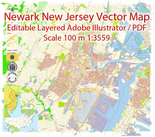
Map — Newark New Jersey US
A production‑ready map of Newark New Jersey US built for clear labeling and predictable output across sizes. Layer structure separates arterials and locals, districts, hydrography, parks and landmarks. Typography spacing is tuned for quick reading on posters, brochures and reports. Contours and landuse layers can be toggled to match tourism or planning use cases. Waterfronts and parks receive extra separation for better contrast on light palettes. The file accepts custom grids, legends and callouts without redrawing base content.
Use it for visitor guides, city infographics, investment decks and municipal communications. Saves prepress time by reducing manual fixes and keeping the visual system consistent. Legibility holds up on handheld leaflets and large lobby posters alike. Keeps labels readable while allowing deep customization of routes and highlights. The map integrates neatly with common DTP and GIS workflows.


 Author: Kirill Shrayber, Ph.D. FRGS