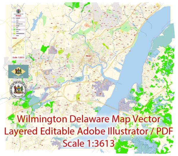
Tourist Map — Wilmington Delaware US
A production‑ready tourist map of Wilmington Delaware US built for clear labeling and predictable output across sizes. Layer structure separates arterials and locals, districts, hydrography, parks and landmarks. Crisp vectors preserve edges at high DPI and export compactly for web delivery. The file accepts custom grids, legends and callouts without redrawing base content. District and neighborhood labels are arranged to avoid collisions around dense cores. Contours and landuse layers can be toggled to match tourism or planning use cases.
Use it for visitor guides, city infographics, investment decks and municipal communications. Ideal for signage, event maps, campus leaflets and waterfront brochures. The map integrates neatly with common DTP and GIS workflows. Reliable as a base layer; easy to adapt when projects or sponsors change. Legibility holds up on handheld leaflets and large lobby posters alike.


 Author: Kirill Shrayber, Ph.D. FRGS